Zambia Guide
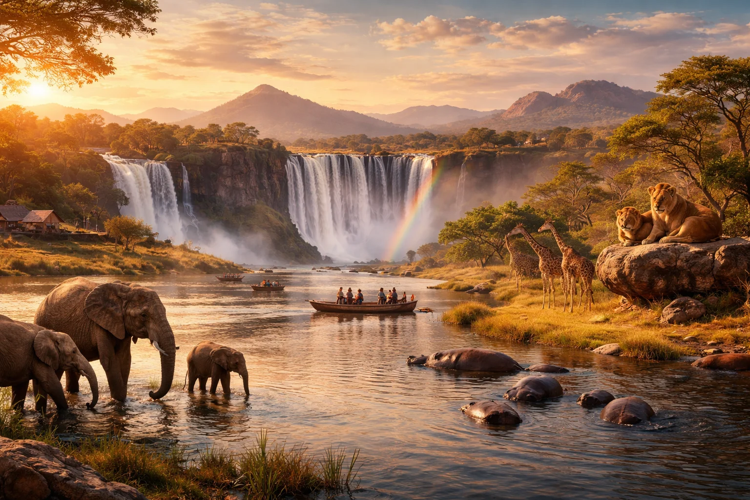
Zambia overview
Zambia is a landlocked country in south-central Africa defined by an elevated plateau dissected by major river systems. Its physical distinctiveness comes from extensive inland wetlands and seasonal floodplains that shape settlement and agriculture more than coastal access. The country functions as a regional watershed whose rivers have been central to transport, ritual life, and cross-border water management. Zambia’s national identity blends dozens of languages with a centralized, postcolonial state infrastructure anchored on urban hubs and connected by rail and road across the plateau.
Common Geography Questions About Zambia
Where Zambia is located
Zambia sits in southern Africa between roughly 8°S and 18°S latitude and 22°E to 33°E longitude, placing it squarely in the continent’s interior. It borders the Democratic Republic of the Congo to the north, Tanzania and Malawi to the northeast and east, Mozambique and Zimbabwe to the southeast and south, Botswana and Namibia at short western-southern contact points, and Angola to the west. Major defining bodies of water include the Zambezi and sections of Lake Tanganyika and Lake Mweru, while the Kazungula crossing marks a narrow border linkage where river, road and rail meet neighboring states.
Geography and landscape of Zambia
Zambia’s geography combines a central high plateau, dissected by river valleys and framed by upland ranges. The Muchinga Mountains form an east–west watershed; the Mafinga Hills reach the country’s highest elevations. The Zambezi, Kafue and Luangwa rivers carve deep valleys — Luangwa’s rift-like valley preserves distinct ecology. The Barotse Floodplain in the west and the Bangweulu wetlands in the north are seasonally inundated landscapes that dominate local land use. Climatically, Zambia has a single rainy season (roughly November–April) with north–south gradients: the north is wetter and more wooded, the south drier and more open savanna.
Zambia culture and society
Zambia’s culture is multilingual and regionally differentiated: English is the official language while Bemba, Nyanja, Tonga and Lozi are among widely spoken indigenous tongues that structure social life. Religious practice is predominantly Christian but often fused with local spiritual traditions tied to rivers and harvest cycles. Distinctive social institutions include matrilineal inheritance systems in several northern and central groups and the Barotse monarchy (Litunga) whose Kuomboka ceremony relocates the royal court with the seasonal flood — a ritual directly tied to the country’s unique floodplain geography. Urbanization patterns concentrate services while many cultural practices remain village-based.
History of Zambia
Zambia’s history moves from precolonial kingdoms and trading networks—Lunda, Luapula, and the Lozi kingdom in the Barotse plain—into colonial incorporation as Northern Rhodesia under British administration. Copper mining reshaped the territory’s economic geography during the colonial era and fed into regional transport corridors. Mid-20th-century movements against colonial rule and the Federation of Rhodesia and Nyasaland culminated in independence, after which the new state pursued one-party governance before returning to multiparty politics. Zambia also acted as a logistical and diplomatic base for neighboring liberation movements, a role that influenced its regional relationships.
Zambia economy and government
Zambia is organized as a presidential republic with a single-chamber National Assembly and subnational provincial governance. The economy is structurally linked to mining: the Copperbelt region concentrates industrial activity and export earnings, making the country sensitive to global copper prices. Agriculture—dominated by maize—provides rural livelihoods, while large reservoir hydroelectric projects on the Zambezi supply domestic power and regional electricity exports. The national currency is the kwacha. Public finance, infrastructure investment, and commodity cycles have consistently shaped policy debates in ways that reflect Zambia’s resource-dependent economic profile.
Regions and major cities of Zambia
Administratively divided into provinces that reflect both political management and ecological zones, Zambia’s regions include the Copperbelt, Lusaka Province, Western Province (Barotse plain), Northern and Eastern provinces among others. The capital, Lusaka, is the political and administrative center; Kitwe and Ndola in the Copperbelt are the country’s major industrial hubs; Livingstone serves as the primary tourism gateway to the country’s major river landscapes. Regional cultural identities—Lozi in the west, Bemba in the north, Chewa influences in the east—correlate with differing land use and seasonal patterns.
Distinctive characteristics of Zambia
Concrete features associated internationally with Zambia include its role in global copper supply through the Copperbelt, the Barotse Floodplain and its Kuomboka ceremony, and pioneering safari practices developed in parks such as South Luangwa where guided walking safaris became a wildlife-tourism model. Hydroelectric infrastructure on the Zambezi, including large dams shared with neighbors, anchors Zambia’s profile in regional power grids. The country’s historical role as a base for southern African liberation movements and its dense patchwork of Bantu languages further distinguish Zambia’s global and regional associations.
Places in Zambia
Livingstone Museum
Livingstone Museum is a museum in Zambia that preserves regional cultural, historical, and natural heritage. It is located in the town of Livingstone near the Zambezi River and functions under Zambia’s national museum governance as a public research and curatorial institution. The museum maintains permanent exhibition galleries, object storage areas, and laboratory space for conservation, and it holds collections that document colonial-era exploration, local ethnography, and Zambezi-basin natural history.
Lusaka
Lusaka is the capital city of the Republic of Zambia and its principal administrative, political, and commercial center. It occupies a central position in the country and serves as the seat of national government institutions and diplomatic missions. The city lies at approximately 15.3875° S, 28.3228° E, a coordinate reference used in national mapping and geospatial datasets. Lusaka functions as Zambia's largest urban concentration for governance, services, and formal economic activity.
Munda Wanga Environmental Park
Munda Wanga Environmental Park is a combined zoological and botanical managed landscape in Zambia, located in the city of Lusaka. The site functions as an urban zoo and environmental education facility with a formally designated zoological collection and maintained botanical beds. The park is significant as a curated collection in the national capital that links living plant exhibits with captive animal enclosures for conservation, interpretation, and local species stewardship.
South Luangwa National Park
South Luangwa National Park is a national park in Zambia that protects a large portion of the Luangwa River valley. The park is formally designated as a national park and comprises approximately 9,050 square kilometres of protected land within Zambia’s conservation estate. South Luangwa National Park is significant for its extensive riverine floodplains, dense networks of oxbow lagoons, and long-term role in national wildlife conservation and ecological research.
University of Zambia
University of Zambia is Zambia's national public university, based in the country's capital and established to provide degree-level education and research capacity for national development. The university occupies a consolidated campus in Lusaka and serves as a primary source of trained professionals in medicine, law, engineering, agriculture, and the social sciences for public and private sectors. It was created by the post-independence government to host domestic tertiary education and to anchor clinical training through an attached teaching hospital. The institution operates under a formal statute and maintains governance structures that include a University Council and an academic Senate.
Victoria Falls
Victoria Falls is formed by the Zambezi River and sits on the border between Zambia and Zimbabwe, within Zambia's Mosi-oa-Tunya area. The main cataract measures approximately 1,708 metres across, making it one of the world's largest continuous sheets of falling water. The site combines dramatic physical scale with regionally significant ecological communities and deep cultural associations, and is an important geological and ecological landmark in southern Africa.