Uruguay Guide
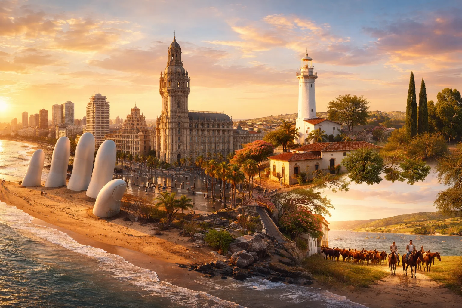
Uruguay overview
Uruguay is a sovereign state in southeastern South America occupying the coastal plain between Brazil and Argentina. It is the smallest Spanish-speaking country on the continent and is notable for a compact territory, high urban concentration, and a long history of institutional continuity relative to the region. Uruguay’s significance stems from a mix of pastoral agriculture, a strong capital city centered on Montevideo, and public policies — from early 20th-century welfare reforms to distinctive 21st-century social legislation — that shape its national identity and international profile.
Common Geography Questions About Uruguay
Where Uruguay is located
Uruguay sits on the South American continent’s southeastern edge, roughly between latitudes 30°S and 35°S and longitudes 53°W and 58°W. It borders Brazil to the north and northeast and lies west of the Uruguay River opposite Argentina; the Río de la Plata estuary defines its southern shoreline and forms a wide, turbid approach to Montevideo’s port. Uruguay’s historical label, Banda Oriental, literally means the eastern bank of the Uruguay River — a geographic descriptor that determined its nineteenth-century boundary-making and diplomatic role between larger neighbors.
Geography and landscape of Uruguay
Uruguay’s geography is dominated by rolling pampas and low hill systems rather than mountains: the Cuchilla Grande and Cuchilla de Haedo are modest ranges whose highest point, Cerro Catedral, reaches about 514 meters. The country is unusually flat for South America, with a landscape shaped by grassland river valleys, coastal dunes, and the broad lagoon systems such as Laguna Merín on the Brazilian frontier. Climatic zones are temperate with maritime influence along the Río de la Plata; inland humidity supports pasture and riparian willow belts rather than tropical forest, a pattern that directly underpins Uruguay’s livestock economy.
Uruguay culture and society
Spanish is the national language, spoken in a Rioplatense variant; in border towns with Brazil a Portuguese–Spanish mix known locally as Portuñol is common. Uruguay’s cultural identity blends European immigrant milieus with a strong gaucho ranching tradition and Afro-Uruguayan practices such as candombe drumming—central to Montevideo’s Carnival, one of the longest continuous carnival celebrations in the Americas. Social customs include ubiquitous mate drinking as a daily ritual and historically robust secularism in public life; politically entrenched rival parties, the Blancos and Colorados, have shaped social cleavages for over a century.
History of Uruguay
Uruguay’s history pivots on its role as a buffer between Spanish and Portuguese imperial spheres. Settled by Europeans from the 17th century, the territory known as the Banda Oriental changed hands in the Napoleonic-era wars and was established as an independent nation by the 1828 Treaty of Montevideo, brokered to end Argentine–Brazilian rivalry. The early republic experimented with liberal social legislation under José Batlle y Ordóñez in the early 20th century, later experienced authoritarian military rule from 1973 to 1985, and returned to civilian constitutional governance—its historical arc marked by repeated balancing between external pressures and domestic reforms.
Uruguay economy and government
Uruguay is a presidential republic with a bicameral General Assembly and an executive president; administratively it is divided into 19 departments each led by an elected intendente. The economy mixes extensive livestock ranching—historically organized as estancias producing beef and wool—with modern services: finance, software export, and tourism. The national currency is the Uruguayan peso (UYU). Notable economic features include enduring state enterprises in energy and fuel (UTE, ANCAP) and a deliberate diversification into renewable electricity generation during the 2010s that reshaped the country’s power matrix relative to its agricultural base.
Regions and major cities of Uruguay
Administratively Uruguay consists of 19 departments grouped loosely into coastal and interior regions. The capital, Montevideo, sits on the Río de la Plata and concentrates much of the country’s population, government functions, and port activity. Other major cities include Salto in the north, known for thermal springs along the Uruguay River; Punta del Este on the Atlantic coast, a high-profile resort peninsula with the iconic “La Mano” sculpture; and Colonia del Sacramento, whose Portuguese colonial quarter is preserved as a distinctive historical enclave. The coastal-urban versus rural-campo divide remains a defining regional contrast.
Distinctive characteristics of Uruguay
Concrete associations give Uruguay a recognizable global profile: it implemented Plan Ceibal, an early national one-to-one laptop program for schoolchildren that became a model in Latin America; it enacted state-regulated cannabis legalization in 2013, pioneering national legislation on recreational drug regulation; and its candombe drumming and street Carnival are internationally cited cultural markers. Uruguay is also linked to high-quality grass-fed beef exports, a historically strong welfare-state tradition initiated by Batlle y Ordóñez, and a compact, stable institutional footprint that makes it atypical among larger South American neighbors.
Places in Uruguay
Montevideo
Montevideo is the capital and largest city of Uruguay, located on the country's southern coastline and serving as its chief political and cultural center. The city functions as the national seat of government. Montevideo has about 1.3 million inhabitants within its municipal limits, making it the country's most populous single urban entity. Its metropolitan concentration of institutions and services gives the city outsized national significance relative to other Uruguayan localities.
National Museum of Visual Arts
National Museum of Visual Arts is the national museum of visual arts of Uruguay, located in Montevideo. It serves as the formal repository for the country’s public collection of Uruguayan visual art and houses major works by Joaquín Torres García and Pedro Figari, making that national collection the museum’s defining, legally recognized holding. The museum functions as a state cultural institution responsible for preservation, research, and public exhibitions of the national visual arts corpus.
Pocitos
Pocitos is a district (barrio) of Montevideo, Uruguay. It occupies a coastal position on the southern edge of Montevideo, approximately at 34.924°S, 56.150°W, and holds formal status as one of the city's administrative barrios. The district includes a defined beachfront and an urban grid that transitions from low-rise residential blocks away from the shore to multi-story apartment buildings along the waterfront. Pocitos serves as a clear example of Montevideo’s coastal urban development and municipal zoning patterns.
Punta del Este
Punta del Este is a coastal city and seaside resort in the Maldonado Department of southeastern Uruguay, located on a narrow peninsula. It is significant as one of Uruguay's principal coastal urban centers and a focal point for maritime, cultural, and real-estate activity. The town lies at approximately 34°58′S, 54°57′W and includes a harbor, beaches on both oceanic and estuarine shores, and a municipal population concentrated in urban neighborhoods.
University of the Republic
University of the Republic is Uruguay's public national university and the state's principal institution for higher education. It is based primarily in Montevideo and functions as a multi-campus system responsible for undergraduate and postgraduate programs across professional fields. The university is organized into constituent faculties and schools and operates under a central representative council that includes elected faculty, student and graduate members. As a publicly constituted institution it holds degree-awarding authority under national statutes and maintains institutional research units, cultural collections and training facilities that support the country's public-sector workforce and scholarly activities.