Uganda Guide
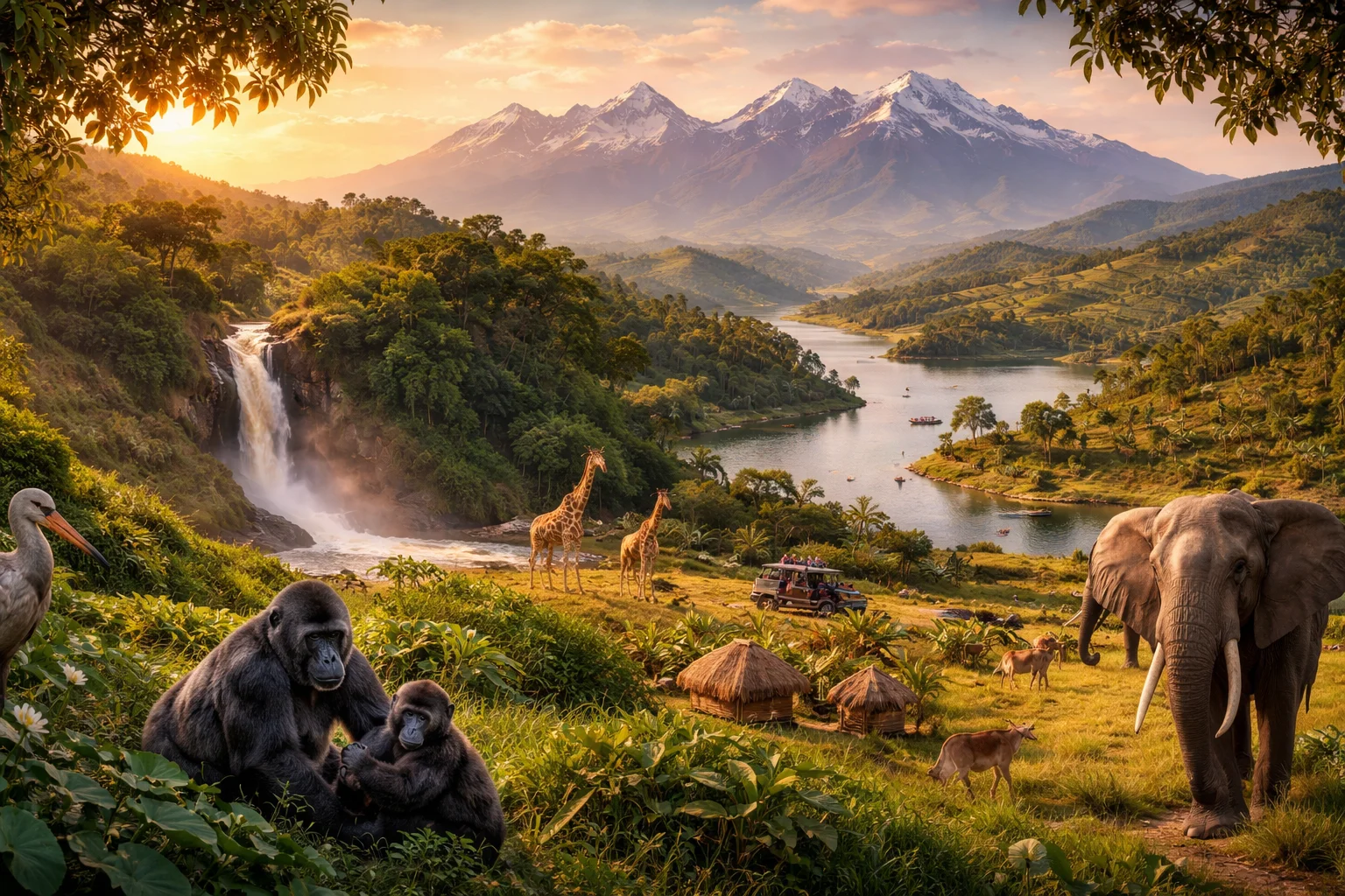
Uganda overview
Uganda is a landlocked East African republic whose territory sits between the African Great Lakes and the highlands of the Rift. The country combines lowland lake shores, extensive wetlands and upland plateaus, producing a mix of ecological zones disproportionate to its size. Uganda’s modern state grew from the overlay of precolonial kingdoms and late 19th-century colonial administration, creating a compact with strong regional identities. For many observers, Uganda’s most striking long-term attribute is a very youthful population structure that shapes its labor force, settlements and social policies.
Common Geography Questions About Uganda
Where Uganda is located
Uganda lies in East Africa, roughly between 1° south and 4° north latitude and between 29° and 35° east longitude. It borders Kenya to the east, South Sudan to the north, the Democratic Republic of the Congo to the west, Rwanda to the southwest and Tanzania to the south. Despite being landlocked, Uganda has a coastline on Lake Victoria, Africa’s largest freshwater lake, which anchors its southern border and regional transport links. The country occupies a strategic position in the African Great Lakes region and the western arm of the East African Rift.
Geography and landscape of Uganda
The country’s terrain ranges from Lake Victoria’s low-lying shores to the high, glaciated peaks of the Rwenzori Mountains in the west—one of the only places with equatorial glaciers. Uganda also contains parts of the Albertine Rift, a biodiversity-rich escarpment, and numerous crater lakes in the western highlands. Principal rivers include those that drain into Lake Albert and the system flowing eastward across the country; extensive wetlands and papyrus swamps occupy the northern and central lowlands. Altitude drives local climate, with temperate highlands and hotter, wetter lowlands.
Uganda culture and society
Uganda’s linguistic landscape features English as the language of government and commerce alongside dozens of indigenous languages; Luganda is widely used in central regions, while several Bantu and Nilotic languages structure daily life elsewhere. Religious affiliation tilts toward Christianity with a notable Muslim minority; syncretic practices and clan-based social organization remain influential. The country recognizes several historical kingdoms as cultural institutions—each with distinct ritual calendars and court traditions—alongside an unusually youthful demographic profile that shapes education, employment and migration patterns.
History of Uganda
Precolonial Uganda consisted of several well-organized kingdoms and chiefdoms whose political economies revolved around cattle, bananas and trade. European exploration in the 19th century—famously including John Hanning Speke’s identification of the Great Lake system—preceded the late-19th-century establishment of a British protectorate that reorganized territory and administration. Independence in 1962 set off alternating periods of centralized rule, violent upheaval and reconstruction. Military regimes and civil conflict in the latter 20th century were followed by extended efforts to rebuild institutions, reintegrate displaced populations and reorient the economy.
Uganda economy and government
Uganda is governed as a unitary republic with a presidential executive, a national legislature and a multi-tier system of local councils; administrative decentralization led to a rapid expansion of district-level units aimed at improving local governance. The economy remains anchored in agriculture—coffee is a leading export—while services, manufacturing and extractive projects in the Albertine Basin have become increasingly important. The national currency is the Ugandan shilling. Commercial fisheries on Lake Victoria and a large subsistence farming sector shape trade patterns and rural livelihoods in distinctive ways.
Regions and major cities of Uganda
Administratively, the country is commonly discussed in four broad regions: Central, Western, Eastern and Northern, each with distinct agro-ecological and cultural profiles. The capital, Kampala, occupies a central position and is famously built on a series of hills that shaped its urban layout and historical neighborhoods. Other key urban centers include Entebbe, the site of the primary international airport; Jinja, an industrial and manufacturing hub in the south; and Gulu, the principal city of the north. Fort Portal serves as an entry point to the western crater-lake and highland zone.
Distinctive characteristics of Uganda
Uganda is widely associated with a handful of concrete, globally recognized features: it is one of the few countries where tourists can track endangered mountain gorillas in protected areas, it produces culturally central matooke (East African highland bananas) as a staple food, and its flag features the grey crowned crane as a national emblem. The country’s coffee—notably robusta varieties—figures in international markets, and its western highlands rank among Africa’s most biodiverse regions, giving Uganda a recognizable profile in conservation and specialty agriculture.
Places in Uganda
Bwindi Impenetrable Forest
Bwindi Impenetrable Forest is a critically important montane rainforest in southwestern Uganda that shelters exceptional biodiversity. It occupies roughly 331 square kilometers of steep, forested terrain and supports globally significant populations of mountain gorillas. The site is valued for its high species richness, extensive canopy cover, and complex topography. Scientists study its flora and fauna for insights into tropical forest dynamics and conservation biology.
Bwindi Impenetrable National Park
Bwindi Impenetrable National Park is a protected national park in southwestern Uganda that conserves a tract of ancient montane forest. The park is significant for its high biodiversity and for sustaining a resident population of mountain gorillas. Bwindi covers about 330 square kilometres of rugged, forested highlands and is formally recognised for its biological value. Its status as a government-managed protected area anchors regional conservation and long-term scientific study of Afro-montane ecosystems.
Jinja (Source of the Nile)
Jinja (Source of the Nile) is the named outlet where the White Nile begins its flow from Lake Victoria, located in eastern Uganda. It is a place of geographic and historical prominence for river science and regional development. The primary outlet lies at roughly 1,134 metres above sea level, and the site has been measured, mapped, and documented in exploration literature and national cartography. This reference article summarizes its location, history, significance, and features.
Kampala
Kampala is the capital city of Uganda and its political, economic, and cultural center. It sits on a plateau near the northern shore of Lake Victoria at approximately 1,190 meters above sea level. The city serves as the administrative headquarters of the national government and houses the capital's municipal authority. The city's significance derives from its role as Uganda's largest urban agglomeration and primary hub for commerce, education, and national institutions.
Kasubi Tombs
Kasubi Tombs is a royal burial complex for the Buganda kingdom located on Kasubi Hill in Kampala, Uganda. The site serves as the principal burial place for multiple Kabakas and preserves significant Baganda cultural heritage. Kasubi Tombs contains the principal thatched mausoleum known as Muzibu-Azaala-Mpanga and several subsidiary ritual structures, collectively representing an intact example of ancestral royal architecture and social practice within an urban African setting.
Kibale National Park
Kibale National Park is a protected tropical forest reserve in western Uganda noted for its primate diversity and scientific importance. The park covers approximately 766 square kilometres of contiguous forest, wetland and savanna mosaic. Its significance derives from dense primate populations, long-term ecological study programs, and placement within the Albertine Rift biodiversity region. Researchers and conservation organizations use the area for sustained studies of chimpanzees, forest dynamics and regional biodiversity patterns.
Kidepo Valley
Kidepo Valley is a broad semi-arid valley in north-eastern Uganda that forms the central landscape of Kidepo Valley National Park. The valley lies within a protected area that covers approximately 1,442 square kilometers, making it one of Uganda's larger conservation units. Its significance arises from intact arid savanna ecosystems, substantial populations of large mammals, and a cultural landscape shaped by pastoral communities. This introduction briefly outlines location, history, significance, and principal ecological features.
Lake Bunyonyi
Lake Bunyonyi is a freshwater lake in southwestern Uganda, notable for its many islands and highland setting. The lake lies at approximately 1,962 meters above sea level and contains roughly twenty-nine islands within its basin. Its significance derives from combined cultural heritage, distinctive island ecology, and regional freshwater resources that have drawn scientific study and local stewardship attention. The lake’s measurable surface elevation and discrete island count provide concrete geographic facts for reference.
Makerere University
Makerere University is a public university in Uganda. It is located on Makerere Hill in Kampala and traces its institutional origins to 1922, providing a formal measurable founding date for the institution. Makerere University serves as the country's principal state university and houses multiple academic colleges, research institutes, and administrative units under a centralized governance framework. The university maintains a multi-campus structure with a historic main campus on Makerere Hill and additional faculties and research units distributed in Kampala and other locations, giving Makerere University a clearly defined institutional footprint in Uganda's higher-education system.
Murchison Falls
Murchison Falls is a waterfall on the Victoria Nile in northwestern Uganda and a defining hydrographic landmark. It is where the Nile is forced through a narrow cleft roughly seven meters wide and plunges about forty-three meters, producing a powerful cascade and plunge pool. The site is significant as a major river constriction that shapes downstream hydrology, supports distinct riverine habitats, and anchors Uganda’s largest contiguous protected area.
Queen Elizabeth National Park
Queen Elizabeth National Park is a protected national park in western Uganda recognized for its ecological diversity and conservation importance. It covers approximately 1,978 square kilometres and includes lakes, savanna, wetlands, and forest fragments. The park supports large mammal populations and hundreds of bird species across varied habitats. As a core conservation area within the Albertine Rift biodiversity hotspot, its scientific significance derives from species diversity and landscape-level ecological processes.
Rwenzori Mountains
Rwenzori Mountains is a high mountain range on the western edge of Uganda noted for its rugged peaks and unique alpine ecosystems. The range forms a compact massif that rises sharply from surrounding lowlands and includes peaks exceeding five thousand meters, with the highest summit reaching 5,109 metres. The Rwenzori Mountains are significant for tropical glaciation remnants, high endemism, and long-standing cultural associations with local mountain peoples.