Togo Guide
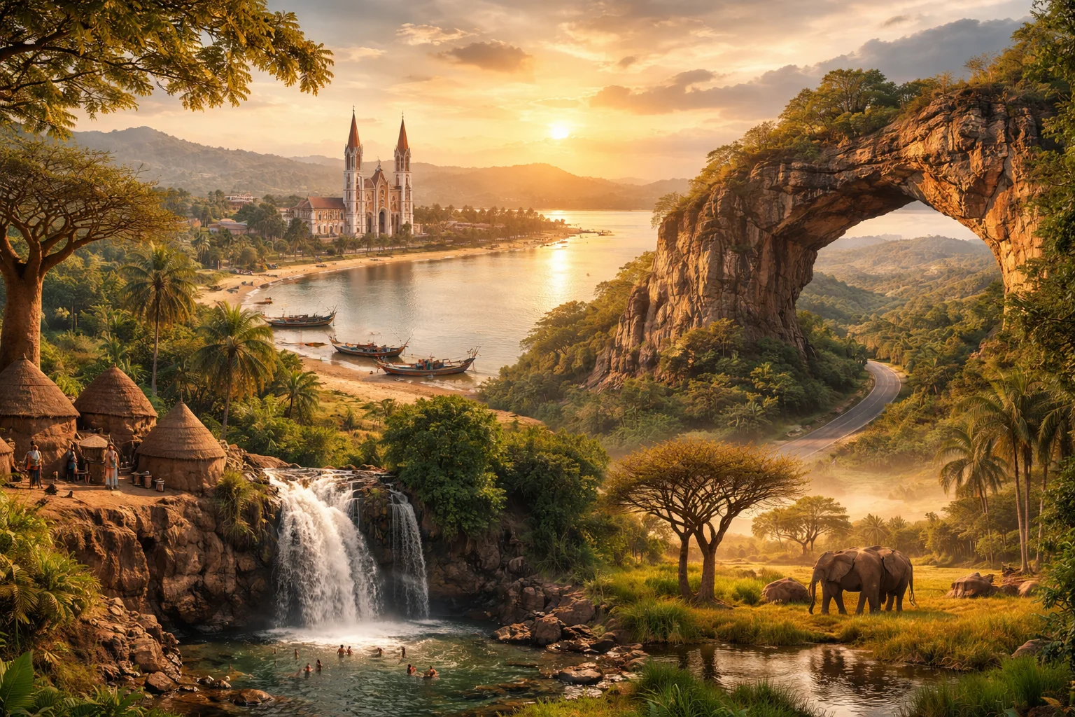
Togo overview
Togo is a narrow West African nation that stretches from the Gulf of Guinea inland to the savannas bordering Burkina Faso. The country’s long, slim shape concentrates contrasting environments—coastal lagoons, a chain of inland mountains, and northern dry plains—within a distance of a few hundred kilometers. Economically, Togo is notable for a deepwater port at Lomé and phosphate deposits that shaped its export profile; culturally it is known for dense linguistic diversity and living Vodun traditions. This overview focuses on the geography, culture, history, economy and major cities of Togo.
Common Geography Questions About Togo
Where Togo is located
Togo sits on the western edge of sub-Saharan Africa, between roughly 6°N and 11°N latitude, on the Gulf of Guinea. It is bordered to the west by Ghana, to the east by Benin and to the north by Burkina Faso; the country’s coastline is unusually short relative to its north–south length. Key bodies of water are the Gulf of Guinea along the south and Lake Togo, a coastal lagoon separated from the ocean by a narrow sandbar. Togo’s placement as a coastal corridor gives Lomé strategic access to Atlantic shipping lanes.
Geography and landscape of Togo
Togo’s terrain moves sharply from a narrow coastal plain and lagoon systems up into the Togo Mountains (a southwest–northeast ridge) and then into plateaus and northern savanna. Mont Agou, in the Plateaux region, is the country’s highest point and marks the abrupt rise between coast and interior. Rivers such as the Mono and the Oti cut through different zones; the Oti drains north into the Volta basin. The compact north–south span produces rapid climatic transitions—from humid tropical south to semi-arid north—and supports unique features like the Koutammakou mud tower-houses in the far north.
Togo culture and society
French is Togo’s official language, but dozens of indigenous tongues are widely used: Ewe predominates in the south, Kabiye and Lamba in central highlands, among others. Religious life blends Christianity and Islam with Vodun (voodoo) practices that remain publicly visible; Lomé’s Akodessewa "fetish" market is a specific cultural landmark tied to ritual trade. Social structures include strong chiefly systems alongside modern state institutions, and initiation practices such as Evala wrestling in the Kara region are regionally distinctive. Urbanization is concentrated in the south, shaping demographic contrasts with the sparsely settled north.
History of Togo
Togo’s modern boundaries reflect colonial partition: declared a German protectorate in 1884 as Togoland, it was split after World War I between British and French administrations—a British-administered area later voting to join Ghana. French Togoland evolved toward independence in 1960, but the postcolonial era was marked by coups and a prolonged period of centralized presidential rule. The assassination of a first post-independence leader and the 1967 military takeover were turning points that shaped the country’s political trajectory and regional relationships in francophone West Africa.
Togo economy and government
Togo is a unitary state with a presidential system and a single-chamber legislature; executive authority is concentrated in the presidency, while local administration is arranged through regional and prefecture structures. The economy mixes subsistence farming with cash crops—cocoa, coffee and cotton—alongside phosphate mining and a port-driven services sector centered on Lomé’s transshipment and free-zone facilities. Currency is the West African CFA franc, linking Togo to the regional monetary union. A distinctive economic feature is the disproportionate role of the Lomé port and phosphate exports in international trade for such a small country.
Regions and major cities of Togo
Administratively, Togo is divided into five regions: Maritime, Plateaux, Centrale, Kara and Savanes; each corresponds to clear geographic and cultural zones. Lomé, the capital, sits on the Gulf of Guinea and functions as the national port, administrative center and largest urban concentration. Other major cities include Sokodé, a central trading hub between north and south; Kara, known as a Kabiye cultural center and for initiation festivals; and Kpalimé in the Plateaux, noted for nearby waterfalls and artisanal crafts. Regional contrasts—coastal commerce versus northern subsistence—organize national life.
Distinctive characteristics of Togo
Togo is globally associated with a handful of concrete features: Lomé gave its name to the Lomé Convention, a landmark development-and-trade agreement between the European Community and African, Caribbean and Pacific states; the Koutammakou landscape (Batammariba mud tower-houses) is a UNESCO World Heritage Site shared with Burkina Faso; and Togo’s phosphate resources have made it a recognizable exporter of that mineral. On the cultural stage, Togolese Vodun traditions and a notable Olympic bronze medal in canoe slalom (won under Togo’s flag) are specific international touchpoints tied to the country.