Tajikistan Guide
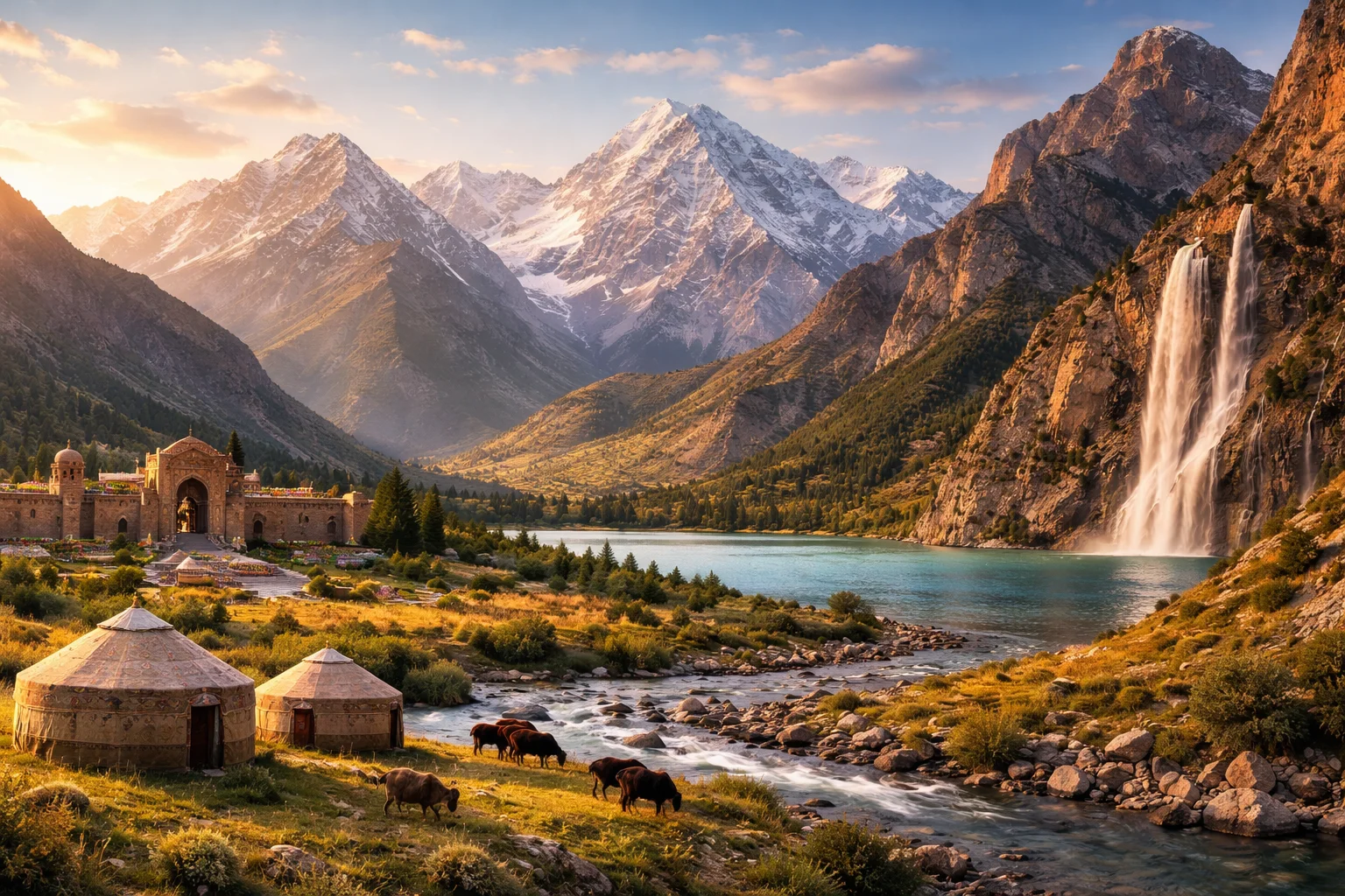
Tajikistan overview
Tajikistan is a landlocked republic in Central Asia defined by extreme altitude, a Persian-speaking majority, and a hydropower-oriented economy. Straddling the high Pamir plateau and the fertile Fergana fringe, Tajikistan’s territory concentrates dramatic vertical relief that shapes settlement, transport and agriculture. Its cultural identity traces to early Persian literary centers while administrative boundaries were drawn in the Soviet era, producing a state with strong regional contrasts. The country’s combination of Ismoil Somoni Peak, extensive glacier cover and a workforce seasonally tied to overseas remittances makes Tajikistan distinct among Central Asian states.
Common Geography Questions About Tajikistan
Where Tajikistan is located
Tajikistan sits in south-central Asia, on the southern slope of the Tien Shan–Pamir knot where continental Eurasia folds into high plateaus. It borders Afghanistan to the south across the Panj and Amu Darya river valleys, shares a short eastern frontier with China along the Pamir, and meets Kyrgyzstan and Uzbekistan to the north and west. The capital, Dushanbe, lies roughly at 38.5°N, 68.8°E. The Panj and Vakhsh rivers, plus numerous mountain valleys opening toward the Fergana Basin, define Tajikistan’s strategic position as a crossroads between lowland Central Asian basins and the high Pamirs.
Geography and landscape of Tajikistan
More than 90% of Tajikistan’s surface rises above 1,000 meters, producing one of the highest proportions of mountain terrain worldwide; the Pamir range contains Ismoil Somoni Peak (7,495 m), the republic’s summit. The landscape alternates glaciated high plateaus, steep river gorges carved by the Vakhsh and Panj, and isolated intermontane basins like the northern Fergana valley. Climate runs from arid continental in low valleys to polar conditions at the highest altitudes; Tajikistan also hosts a major concentration of mid-latitude glaciers outside the polar regions. These features force irrigated agriculture into narrow strips and concentrate roads onto a handful of high passes.
Tajikistan culture and society
Tajikistan’s majority speaks Tajik, a variety of Persian, while Russian functions as a lingua franca and administrative legacy; smaller communities use Uzbek, Kyrgyz and several Pamiri languages. The Yaghnobi language, spoken by a small population in the Yaghnob Valley, is a direct descendant of Sogdian and represents a living link to pre-Islamic Central Asia that few neighboring countries possess. Sunni Islam predominates nationally, while the autonomous Gorno-Badakhshan region has a substantial Ismaili Shi’a community whose social structures and pilgrimage links differ markedly from the lowland Tajik heartlands. Long-distance labor migration and a high rural-to-urban cultural divide shape family networks and social norms.
History of Tajikistan
Tajikistan’s history is a weave of Sogdian city-states, Persianate culture and imperial reconfigurations: medieval centers produced New Persian literature and poets such as Rudaki, while later centuries brought Turkic migrations and incorporation into the Russian Empire. Soviet policy created the Tajik SSR and redrew borders that left many Tajik-speaking populations outside the republic’s limits; those administrative lines set the stage for 20th-century nation-building. Independence in 1991 was followed by a multi-sided civil conflict that reshaped political elites and accelerated patterns of external labor migration. These developments forged Tajikistan’s contemporary balance between mountainous hinterlands and political centralization in Dushanbe.
Tajikistan economy and government
Tajikistan is a presidential republic with a centralized executive and a bicameral legislature; the constitution recognizes an autonomous status for Gorno-Badakhshan. Economically, the country leans on three specific pillars: export-oriented aluminium smelting (centered on a large integrated plant), seasonal remittances from migrant labor, and hydropower generation anchored by major reservoirs and dams. The somoni is the national currency. Geography constrains productive land, so water management and cross-border electricity projects are central policy concerns. State control over strategic industries and a reliance on energy exports distinguish Tajikistan’s economic profile from more diversified regional neighbors.
Regions and major cities of Tajikistan
Administratively, Tajikistan is divided into Sughd Province in the north, Khatlon in the southwest, the autonomous region of Gorno-Badakhshan across the Pamirs, plus the Districts of Republican Subordination and the capital district of Dushanbe. The Districts of Republican Subordination are governed directly from the center rather than being a formal oblast, a structure that concentrates authority uncommon elsewhere. Dushanbe is the national capital; Khujand anchors the fertile Sughd and historic trade routes; Bokhtar serves as the primary urban centre in Khatlon. Each region reflects different ecological zones and historical ties to Silk Road corridors or mountain pasturage.
Distinctive characteristics of Tajikistan
Concrete associations link Tajikistan to high-altitude geography and water resources: Ismoil Somoni Peak and the Pamir Highway are widely recognized among mountaineers and overland travelers, while the Nurek Dam ranks among the tallest embankment dams globally and defines the country’s hydropower capacity. The Yaghnobi language and the Ismaili cultural presence in Gorno-Badakhshan are particular cultural markers with transnational scholarly interest. Tajikistan is also known for producing classical Persian literary figures’ origins (Rudaki) and for a labor-migrant diaspora that has reshaped economic ties with Russia—specific global profiles that set Tajikistan apart in Central Asia.
Places in Tajikistan
Dushanbe
Dushanbe is the capital city of Tajikistan and the country's administrative center and largest urban settlement. It is situated in west-central Tajikistan and serves as the seat of national government institutions. The city lies at approximately 820 meters above sea level and has a population exceeding 800,000 residents. Dushanbe functions as the primary political, economic, and cultural hub of Tajikistan and anchors national infrastructure and administrative networks.
Fann Mountains
Fann Mountains is a compact high mountain range in western Tajikistan, recognized for steep peaks and numerous alpine lakes. The range forms part of the western extremity of the Pamir-Alay mountain system and has scientific, cultural, and ecological importance for Central Asia. The Fann Mountains include peaks rising above 5,000 meters and host dozens of glacially formed lakes and cirques. This concentration of high relief in a small area underlies its regional significance.
Tajik National University
Tajik National University is the principal public university of Tajikistan, located in the national capital of Dushanbe. The institution holds formal national-university status and traces its institutional origins to establishment as a state university in 1947. Tajik National University functions as the primary higher-education and research hub for the country, combining faculties in the humanities, sciences, and professional disciplines and maintaining a central academic library and administrative complex that define its campus footprint. Its formal designation and founding year are recorded in national educational registries and institutional histories.