Suriname Guide
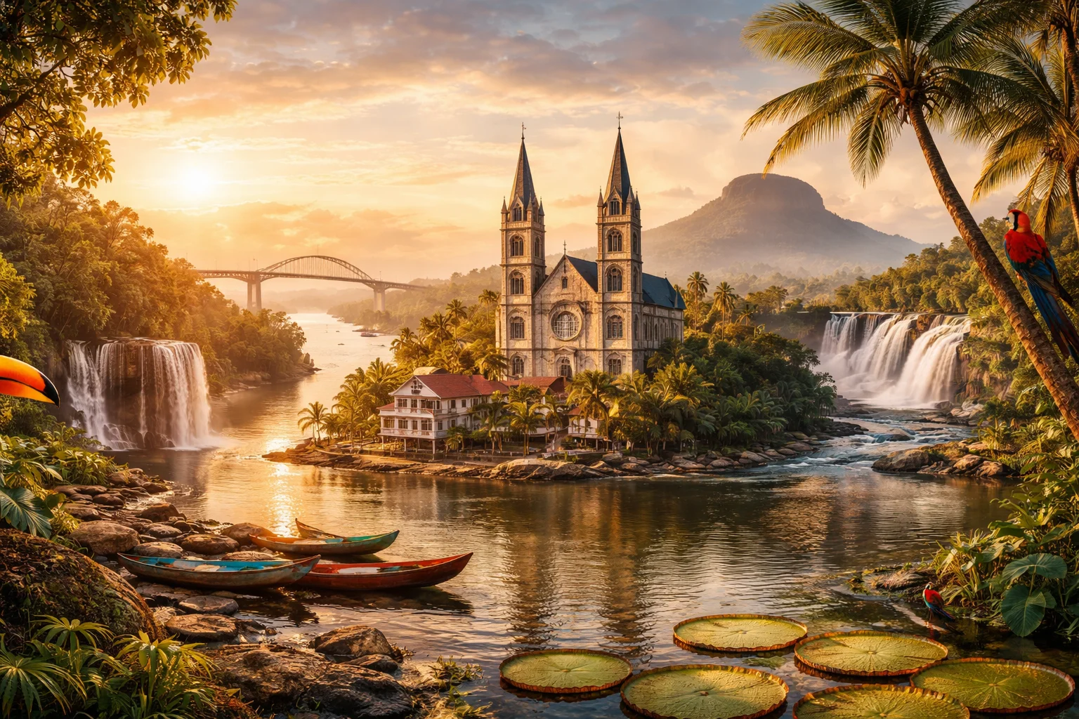
Suriname overview
Suriname is the smallest independent country in mainland South America by land area and a sovereign republic on the continent’s northeastern shore. Its territory juxtaposes a narrow, densely populated coastal corridor with an overwhelmingly forested interior, producing one of the continent’s lowest population densities beyond the shoreline. Colonial plantation systems and subsequent waves of indentured labor shaped a multi-ethnic society that retains distinct linguistic and religious pluralism. The country’s economy historically revolved around bauxite and river transport, while its political life reflects post-colonial institutions and transatlantic ties.
Common Geography Questions About Suriname
Where Suriname is located
Suriname lies on the northeastern coast of South America, roughly between 1°N and 6°N latitude and 51°W to 58°W longitude. It borders Guyana to the west, Brazil to the south and French Guiana to the east, with the Atlantic Ocean forming its northern shore. Several rivers trace its frontiers: the Marowijne River demarcates part of the eastern boundary with French Guiana, while the Corantijn marks the western border with Guyana. Much of Suriname’s human settlement follows these waterways, which channel goods from the coast into the interior and historically defined colonial access routes.
Geography and landscape of Suriname
The landscape of Suriname is a contrast between a low, coastal plain and a rugged interior highland. Coastal zones are flat, composed of peat and mangrove soils protected by dikes and river levees; agricultural and urban life concentrates there. Inland the Guiana Shield rises into modest mountain ranges such as the Wilhelmina and Emma Massifs, with Julianatop reaching the country’s highest elevations. A notable engineered feature is the Brokopondo Reservoir, created by the Afobaka Dam, which flooded vast rainforest tracts to supply hydroelectric power — an intervention that reshaped regional hydrology uniquely within Suriname’s borders.
Suriname culture and society
Suriname’s society is defined by a rare ethnic and linguistic mosaic: Dutch is the official language used in government and schools, while Sranan Tongo serves as a widely spoken lingua franca; significant communities also maintain Sarnami Hindustani, Javanese, and several Maroon and Indigenous languages. Religious pluralism is notable, with Christianity, Hinduism and Islam each practiced openly and public holidays reflecting this diversity. Demographically, no single ethnic group forms a majority, producing urban cultural exchanges—music, cuisine and ritual life—that combine African, South Asian, Southeast Asian and Indigenous elements in ways particular to Suriname.
History of Suriname
Suriname’s history moves from Indigenous habitation through contested European colonization to a plantation economy reliant on enslaved labor; the Dutch established a durable presence that produced a colonial social order distinct from neighboring Spanish and Portuguese models. After emancipation, colonial authorities imported contract laborers from British India and the Dutch East Indies, creating a demographic composition atypical for the region. Independence in 1975 transferred sovereignty peacefully but prompted significant emigration to the Netherlands, forging long-term diasporic links that continue to shape political and cultural life outside Suriname’s borders.
Suriname economy and government
The political system of Suriname is a presidential republic with a unicameral National Assembly whose members elect the president; this arrangement reflects Dutch-influenced legal traditions adapted to a multi-party context. Economically, the country’s structure is marked by extractive industries: bauxite mining historically dominated exports, while gold mining, timber and fishing remain important revenue sources. Hydroelectric infrastructure built to support aluminum processing is a distinctive industrial legacy. The national currency is the Surinamese dollar; the economy’s small domestic market, dependence on commodity exports and ties to the Dutch labor and financial networks are persistent structural features.
Regions and major cities of Suriname
Administratively Suriname is divided into ten districts, from the urban Paramaribo District along the coast to the vast, sparsely populated Sipaliwini District that covers most of the interior rainforest. The capital, Paramaribo, concentrates government, commerce and cultural institutions. Other notable urban centers include Nieuw Nickerie, a rice-producing town on the western coastal plain, and Lelydorp, a commuter and commercial hub situated between Paramaribo and the interior. Regional contrasts are pronounced: coastal districts host agriculture and transport infrastructure, while interior districts are organized around riverine villages, mining camps and protected forest reserves.
Distinctive characteristics of Suriname
Suriname is often singled out for a set of concrete, globally recognizable traits: it is the only independent South American state that retains Dutch as its official language; its capital contains a UNESCO-listed historic wooden center reflecting Dutch colonial town planning; and its post-emancipation labor migrations created substantial Hindustani and Javanese communities uncommon at comparable scale elsewhere in the Americas. The country’s historical role supplying bauxite to global aluminum industries and the creation of the Brokopondo Reservoir for hydroelectric power are economic footprints with international ties, while a significant Surinamese diaspora in the Netherlands links political and cultural currents across the Atlantic.