South Sudan Guide
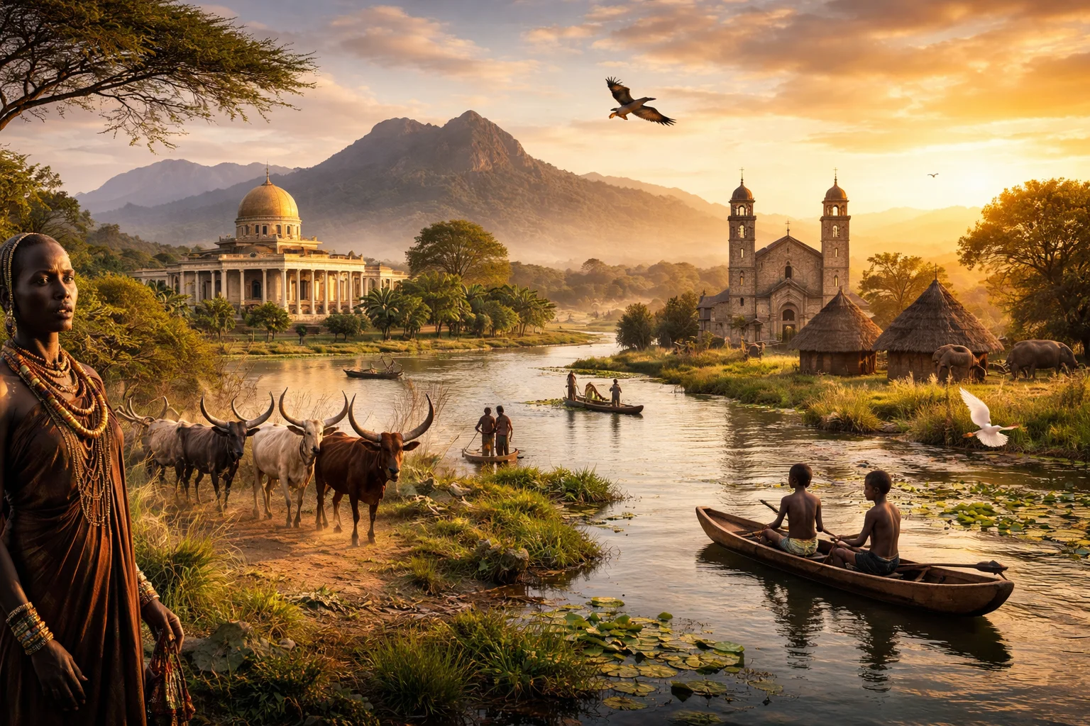
South Sudan overview
South Sudan is the world’s youngest sovereign state, a landlocked country in northeast-central Africa formed by secession from Sudan after a referendum in 2011. It occupies a strategic place astride the White Nile and contains the Sudd, one of the planet’s largest freshwater wetlands, creating ecological and economic realities different from neighboring states. South Sudan’s profile is shaped by a heavy dependence on oil revenues, a mosaic of Nilotic ethnic groups for whom cattle are central to social life, and recurrent struggles to translate wartime leadership into stable civil governance.
Common Geography Questions About South Sudan
Where South Sudan is located
South Sudan lies on the African continent in the upper Nile basin, roughly between 3° and 12° north latitude and between 24° and 36° east longitude. It shares borders with Sudan to the north, Ethiopia to the east, Kenya and Uganda to the southeast and south, the Democratic Republic of the Congo to the southwest, and the Central African Republic to the west. The White Nile traverses the country from south to north; the river and the seasonal inundations of the Sudd are principal geographic anchors that determine transport corridors, settlement patterns, and cross-border linkages unique to South Sudan.
Geography and landscape of South Sudan
The landscape of South Sudan shifts abruptly from swamp to mountain to seasonally flooded savanna. The Sudd wetlands in the central lowlands are an ecological system formed by the White Nile’s slow flow and extensive seasonal floodplains, making them a hydrological anomaly that stores water and alters regional evaporation. To the southeast the Imatong Mountains rise, with Mount Kinyeti reaching over 3,000 meters and supporting montane forest remnants uncommon in neighbouring plains. Northern areas revert to semi-arid acacia plains; western Bahr el Ghazal holds oxbow lakes and grasslands used for flood-recession agriculture.
South Sudan culture and society
South Sudanese culture is characterized by Nilotic social structures in which cattle function as wealth, ritual medium, and social bond—bridewealth, age-set ceremonies, and initiation rites often center on livestock. Major ethnolinguistic groups include the Dinka, Nuer, Shilluk, Bari and Zande, each with distinct oral histories, scarification patterns and naming practices tied to seasonal events. English is the official language, while Juba Arabic and dozens of indigenous languages serve daily life; ceremonial Christianity often blends with indigenous spiritual practices. Pastoral mobility and cattle exchange networks remain central to identity in ways uncommon in much of Africa.
History of South Sudan
A prolonged history of peripheralization under colonial and post-colonial Khartoum rule produced a persistent insurgency that defined modern South Sudan. Resistance organizations led by southern leaders fought two major civil wars during the 20th century; a negotiated peace and a 2005 agreement created the conditions for a 2011 referendum and independent statehood. Independence remapped national boundaries and international relations in northeast Africa, but state-building was immediately tested by internal rivalries and the challenge of converting liberation movements into accountable civilian institutions.
South Sudan economy and government
South Sudan operates as a presidential republic founded on a 2011 constitutional framework that created a unitary state subdivided into states and counties; authority has frequently been contested between national and local power holders. Economically, the country is unusual for being agriculturally potential-rich yet fiscally dominated by oil: most export revenues historically stem from oilfields concentrated along the northern Upper Nile basin, with export infrastructure running through Sudan. The South Sudanese pound is the national currency; formal financial systems remain shallow and cross-border informal trade and livestock markets play outsized economic roles relative to manufacturing or services.
Regions and major cities of South Sudan
Administratively and culturally South Sudan is often described in three large regions: Bahr el Ghazal in the west, Equatoria in the south and Upper Nile in the east—each with distinct ecologies and social compositions. The capital, Juba, sits on the White Nile and functions as the primary political and commercial hub. Other principal towns include Malakal on the river floodplains, Wau at a crossroads of western trade routes, and Bor on key pastoral grasslands; each urban center connects to specific cattle-, river- or road-based economic systems peculiar to South Sudan.
Distinctive characteristics of South Sudan
Concrete features strongly associated with South Sudan include the Sudd wetland’s scale and seasonal dynamics, the country’s status as the newest internationally recognized sovereign state created by a popular referendum, and its role in the Greater Nile oil basin where production and cross-border pipelines shape diplomacy. South Sudan is also internationally recognized for its dense Nilotic cultural traditions—especially cattle-centered social systems and Juba Arabic urban lingua franca—and for environmental debates such as the abandoned Jonglei Canal proposals, which spotlight how hydrology, ecology and development intersect uniquely within its borders.