Somalia Guide
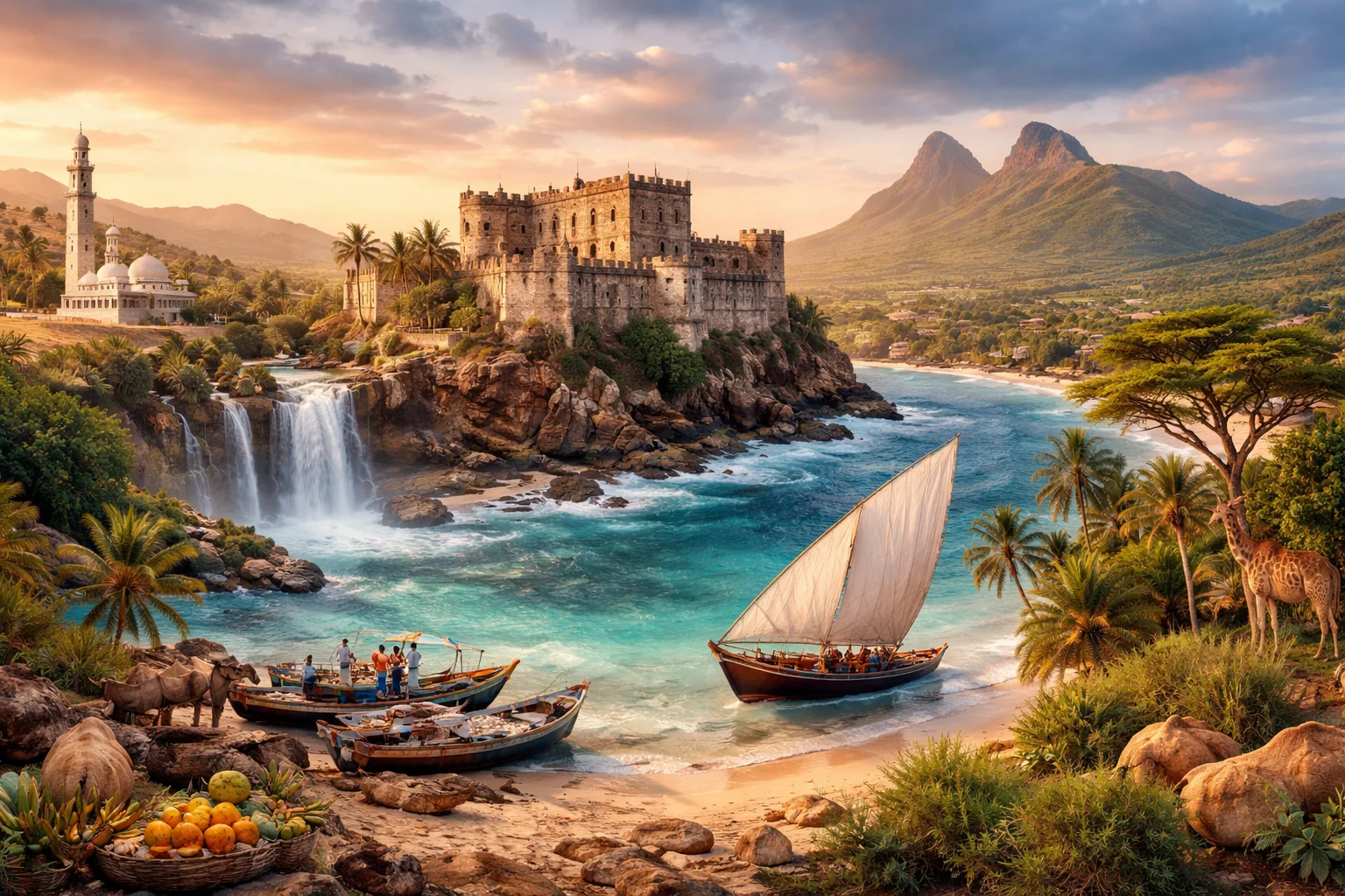
Somalia overview
Somalia is a country occupying most of the Horn of Africa, defined by its long Indian Ocean frontage and the capital city, Mogadishu. It is significant regionally as a maritime doorway between the Red Sea and the Indian Ocean and as the historic homeland of the Somali people. The national economy has traditionally revolved around pastoralism and cross-border trade rather than heavy industry. One striking physical fact: Somalia contains the easternmost point of mainland Africa, a geographic distinction that shapes its maritime role and coastal communities.
Common Geography Questions About Somalia
Where Somalia is located
Somalia sits in East Africa on the Horn of Africa peninsula, with its mainland orientated toward the Indian Ocean and the Gulf of Aden to the north. It shares land borders with Ethiopia to the west, Djibouti to the northwest and Kenya to the southwest; maritime approaches face Yemen across the Gulf of Aden. Somalia’s shoreline curves from the Gulf of Aden around the Horn to the Somali Sea, placing it adjacent to one of the world’s busiest shipping lanes and proximate to the strategic Bab-el-Mandeb corridor.
Geography and landscape of Somalia
Somalia’s geography ranges from arid coastal plains to a central Somali Plateau and discontinuous highlands in the north, notably the Golis and Cal Madow massifs. Two perennial rivers that matter to southern farming—the Juba and the Shabelle—begin in the Ethiopian Highlands and support irrigated agriculture in an otherwise drought-prone country. Climatically, there is a pronounced bimodal rainfall regime locally known as gu and deyr, which governs pastoral migration cycles; much of the territory is classified as semi-desert to desert rather than temperate, a setting that conditions land use and settlement patterns.
Somalia culture and society
Somalia’s culture is defined by the Somali language (a Cushitic member of the Afroasiatic family) and Sunni Islam, with social life organized largely around clan networks and customary law called xeer. Oral poetry and performance—gabay and other forms—serve as primary vehicles for political debate, history and social norms in ways that remain outsized compared with written literature. In 1972 the government formally adopted a Latin-based Somali script, a deliberate literacy policy that markedly accelerated standardization of the language and national education programs.
History of Somalia
Somalia’s historical arc stretches from ancient Indian Ocean trade and possible connections to the Land of Punt through medieval sultanates that controlled coastal commerce and irrigation in the south. European colonization carved the territory into British Somaliland in the north and Italian Somaliland in the south before independence and union in 1960 created the Somali Republic. Post-independence experiments with centralization and socialism gave way to state collapse in the late twentieth century; the ensuing decades saw regional reconfigurations, including self-declared separation in the northwest, alongside efforts at rebuilding central institutions.
Somalia economy and government
Somalia is organized on a federal model with a national government seated in Mogadishu and multiple federal member states exercising varying degrees of autonomy. The Somali shilling serves as the country’s currency. Economically, pastoralism—livestock, particularly camels and goats—and diaspora remittances have historically supplied the largest share of livelihoods and foreign exchange, while a largely private telecom sector pioneered mobile-money services in the absence of stable national banking. Smallholder agriculture is concentrated along the Juba and Shabelle river valleys.
Regions and major cities of Somalia
Administratively, Somalia is divided into federal member states including Puntland in the northeast, Jubaland in the south, Galmudug and Hirshabelle in central regions, and the South West state; the northwest territory of Somaliland maintains a long-standing, self-declared independence. The capital and largest port is Mogadishu. Other major cities include Hargeisa—administrative center of Somaliland—Garowe in Puntland, and Kismayo in the Jubaland area, each serving as regional commercial and political hubs with distinct local governance arrangements.
Distinctive characteristics of Somalia
Somalia is widely associated with a set of highly specific global identifiers: its location at Africa’s easternmost tip and alongside critical Indian Ocean sea lanes; an enduring pastoral economy centered on camels and livestock exports; and a highly mobile diaspora whose remittances and entrepreneurial networks shape urban reconstruction and cross-border trade. Cultural exports are also distinctive: Somali oral poetry and music have an outsized reputation across the Horn, and the deliberate 1972 adoption of a Latin script for the Somali language is a notable example of state-led linguistic modernization with long-term effects.