Saint Vincent and the Grenadines Guide
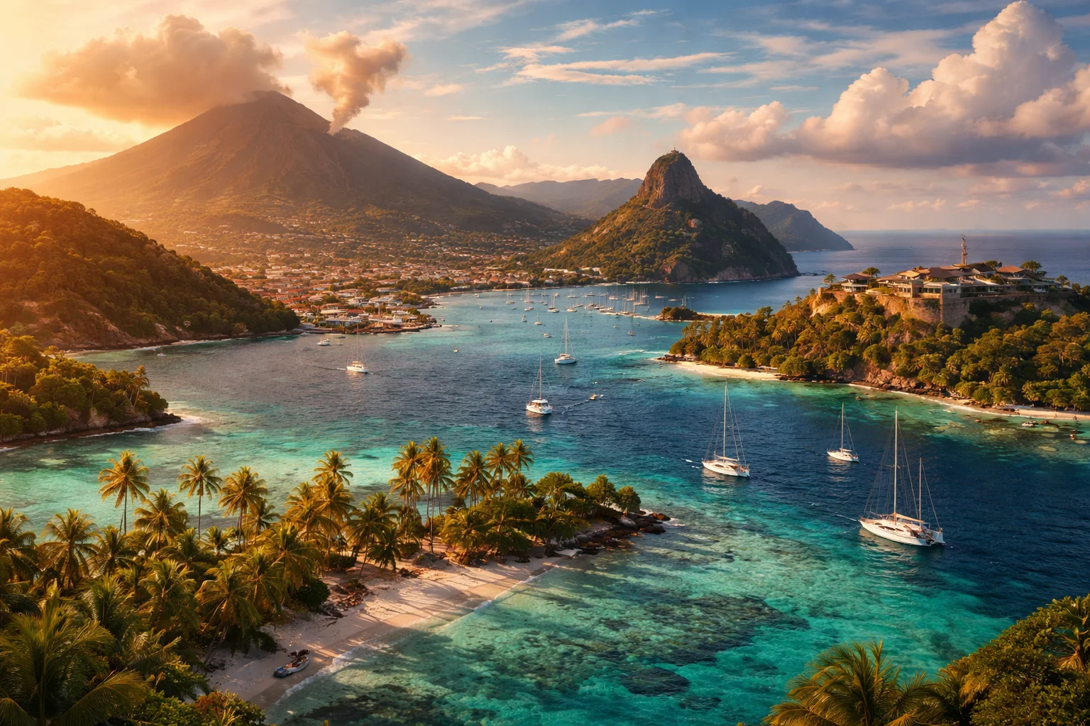
Saint Vincent and the Grenadines overview
Saint Vincent and the Grenadines is a sovereign island state in the eastern Caribbean composed of the main island of Saint Vincent and the northern two-thirds of the Grenadines archipelago. It occupies a strategic position in the Windward Islands with a population concentrated on a single mountainous island and scattered settlements on dozens of smaller isles. The country’s significance rests on a combination of an active volcanic interior, a long maritime tradition that includes small-scale whaling on Bequia, and a tourism economy oriented to yachting and boutique island resorts. This profile emphasizes geography, culture, history, economy and major cities at a national scale.
Common Geography Questions About Saint Vincent and the Grenadines
Where Saint Vincent and the Grenadines is located
Saint Vincent and the Grenadines lies in the Caribbean Sea of North America’s island arc, in the Lesser Antilles within the Windward Islands chain; approximate central coordinates are 13.25°N, 61.20°W. It sits south of Saint Lucia and north of Grenada, with open Caribbean waters to the west and the Atlantic to the east. The country’s territory extends over the sea across narrow channels, so its borders are maritime rather than land-based; its jurisdiction includes hundreds of square kilometres of reef and maritime space surrounding islands such as Bequia, Mustique and Canouan.
Geography and landscape of Saint Vincent and the Grenadines
The country’s geography juxtaposes a volcanic, mountainous main island with low, coral-formed Grenadine islets. Saint Vincent’s interior is dominated by an active volcanic massif, La Soufrière, whose steep slopes create deep river valleys and fertile black-soil agricultural zones uncommon on low-lying Caribbean islands. By contrast the Grenadines—Mustique, Bequia, Union and others—are primarily limestone and coral with fringing reefs and sandy coves. Climatic variation is pronounced: windward eastern coasts receive heavier rainfall while leeward sheltered bays and viscose karst pockets remain comparatively dry.
Saint Vincent and the Grenadines culture and society
English is the official language, while Vincentian Creole—an English-based creole with African and Caribbean influences—is the lingua franca in homes and informal settings. The population shows a distinct Garifuna or “Black Carib” heritage in parts of northern Saint Vincent where a recognized Carib reserve preserves ancestral practices and Big Drum music traditions; this indigenous-African fusion differentiates local culture from most other former-British Caribbean states. Christianity predominates, with island-specific observances such as Vincy Mas carnival and community boat-building on Bequia reflecting maritime social structures and seasonal ritual rhythms.
History of Saint Vincent and the Grenadines
Saint Vincent and the Grenadines’ history pivots from indigenous Carib settlement through contested European colonization to British rule and 20th-century independence. The island was a center of sustained resistance by Carib leaders against French and British encroachment—most famously through indigenous chieftains whose legacy informs national memory—and later became part of a plantation economy based on sugar and enslaved labour. Post‑emancipation shifts and the decline of sugar led to banana cultivation, and political development culminated in constitutional self-government and full independence from the United Kingdom in 1979, positioning the country within regional post‑colonial networks.
Saint Vincent and the Grenadines economy and government
Saint Vincent and the Grenadines is a parliamentary democracy and constitutional monarchy within the Commonwealth, with a Governor‑General representing the Crown and an elected House of Assembly that selects the Prime Minister. The economy is small and diversified: tourism (notably yachting and island resorts), agriculture (historically bananas and arrowroot), marine services and a modest offshore financial sector. The currency is the Eastern Caribbean dollar (XCD), shared with several neighbours via the Eastern Caribbean Central Bank. Economic policy must routinely account for volcanic risk and the logistical costs of servicing many small islands.
Regions and major cities of Saint Vincent and the Grenadines
Administratively the country is divided into five parishes on Saint Vincent—Charlotte, Saint David, Saint George, Saint Patrick and Saint Andrew—and the Grenadines as a separate division. Kingstown, the capital and main port, anchors government, commerce and the island’s botanical garden. Other notable population centres include Calliaqua near the south coast and Barrouallie on the leeward side, both tied to fishing and local commerce; Port Elizabeth (Bequia) and Clifton (Union Island) are the principal towns in the Grenadines and hubs for inter‑island transport and yachting activity.
Distinctive characteristics of Saint Vincent and the Grenadines
Several concrete features mark Saint Vincent and the Grenadines on the world stage: the active volcano La Soufrière shapes both landscape and disaster planning; the island of Mustique is an unusual example of private-island development within a sovereign state; Bequia maintains a regulated pilot-whale hunting tradition that has drawn international attention; and the Kingstown Botanical Gardens, among the oldest in the Caribbean, reflect a colonial botanical legacy. Regionally, the country is a founding member of CARICOM and the OECS, and it is recognized internationally for yacht-based tourism and its historic Garifuna cultural lineage.