Niger Guide
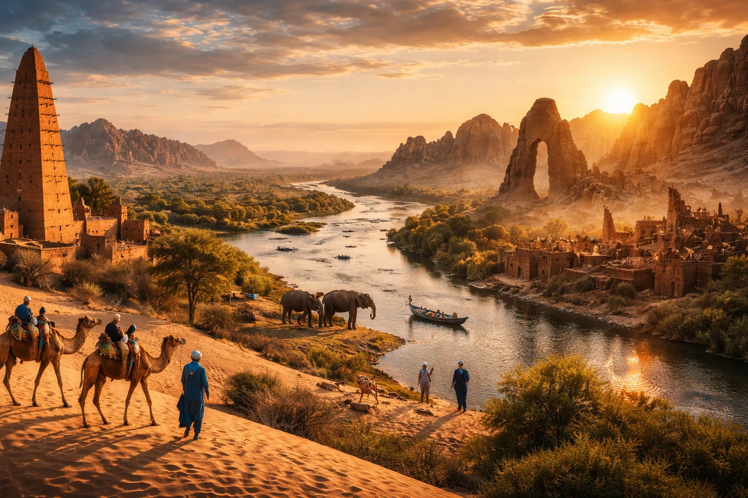
Niger overview
Niger is a landlocked republic in West Africa defined by its position at the transition between the Sahara and the Sahel. The country is notable for the Aïr Mountains and the sweeping arc of the Niger River, features that structure settlement and transport in a largely arid landscape. Historically shaped by trans-Saharan routes and French colonial rule, Niger combines pastoralist traditions, uranium-bearing geology around Arlit, and a young, linguistically diverse population. This profile explains Niger’s geography, culture, history, economy and major cities in concise, comparative terms.
Common Geography Questions About Niger
Where Niger is located
Niger sits in the heart of the Sahel on the African continent, roughly between latitudes 11°N and 24°N, straddling the southern edge of the Sahara. It borders seven countries: Algeria and Libya to the north, Chad to the east, Nigeria and Benin to the south, and Mali and Burkina Faso to the west. The Niger River traces an unusual inland arc across the southwest, feeding the agricultural corridor around Niamey; meanwhile the northern boundary is defined by vast Saharan plateaus. Niger’s position makes it both a Sahelian crossroads and an inland desert state.
Geography and landscape of Niger
Niger’s terrain ranges from sand seas in the north to the Aïr Massif and Sahelian plains in the south. The Aïr Mountains rise as a volcanic and granitic island within the Sahara, producing isolated valleys and seasonal oases not found across most of West Africa. The Niger River is the country’s principal river, creating a narrow fertile band used for irrigation and town development; elsewhere ephemeral wadis and fossil dunes dominate. Climatic zones shift sharply from hyper-arid desert to semi-arid Sahel, producing stark regional contrasts in soil, vegetation and human settlement density.
Niger culture and society
Niger’s culture is defined by a multilingual blend: French as the official language, with major indigenous tongues including Hausa, Zarma-Songhai, Tamasheq (Tuareg) and Fulfulde. Pastoralist lifeways—particularly among Tuareg and Fulani groups—remain central; the Cure Salée festival at In-Gall, an annual gathering of camel and herding communities, is a cultural marker unique to Niger’s central Sahel. Islam is the predominant religion, but local animist practices and inter-ethnic marriage patterns shape social norms. Demographic patterns include dispersed rural settlements, transhumant corridors, and urban growth concentrated in a handful of major cities.
History of Niger
Niger’s history links Sahelian empires and trans-Saharan commerce to colonial reordering by France. Before colonial annexation, the region was influenced by Hausa city-states, Songhai and Kanem-Bornu polities; caravan routes across the Sahara connected its oases to Mediterranean trade. French military campaigns and administrative consolidation in the late 19th and early 20th centuries established borders that persist today. Independence in 1960 initiated a series of political experiments—civilian, military and constitutional—that have framed Niger’s postcolonial development, while its uranium deposits reshaped external economic ties.
Niger economy and government
Niger is formally a unitary republic with a semi-presidential constitution: executive power is shared between a president and a prime minister, and legislation is enacted by a elected National Assembly. Economically, the country combines subsistence agriculture and pastoralism with extractive industries; uranium mining around Arlit and petroleum development in the southeast are distinctive revenue sources tied to global commodity markets. Local economies depend on millet and sorghum cultivation, livestock transhumance and informal cross-border trade. The currency is the West African CFA franc, used across several neighboring states.
Regions and major cities of Niger
Administratively, Niger is divided into regions that reflect both administrative convenience and environmental zones: northern Saharan regions, central Aïr and Sahel regions, and southern agricultural plains. The capital, Niamey, sits on the Niger River and is the country’s political and logistical hub. Other major cities include Zinder, historically a Hausa commercial center; Maradi, an agricultural market town in the south; and Agadez, the gateway to the Aïr Mountains and a Tuareg cultural center. These major cities concentrate services, markets and cross-border connections.
Distinctive characteristics of Niger
Niger is widely associated with three concrete features: the Aïr Massif’s geological islands within the Sahara, significant uranium deposits concentrated near Arlit that have shaped export relations, and role as a Sahelian center for nomadic cultures exemplified by the Cure Salée gatherings. In scientific literature Niger is also cited for paleontological sites such as Gadoufaoua, where dinosaur fossils were found, and for studies of desertification along an abrupt Sahelian ecological gradient. These specific attributes give Niger a recognizable profile in geology, paleontology and Sahelian cultural studies.