Nicaragua Guide
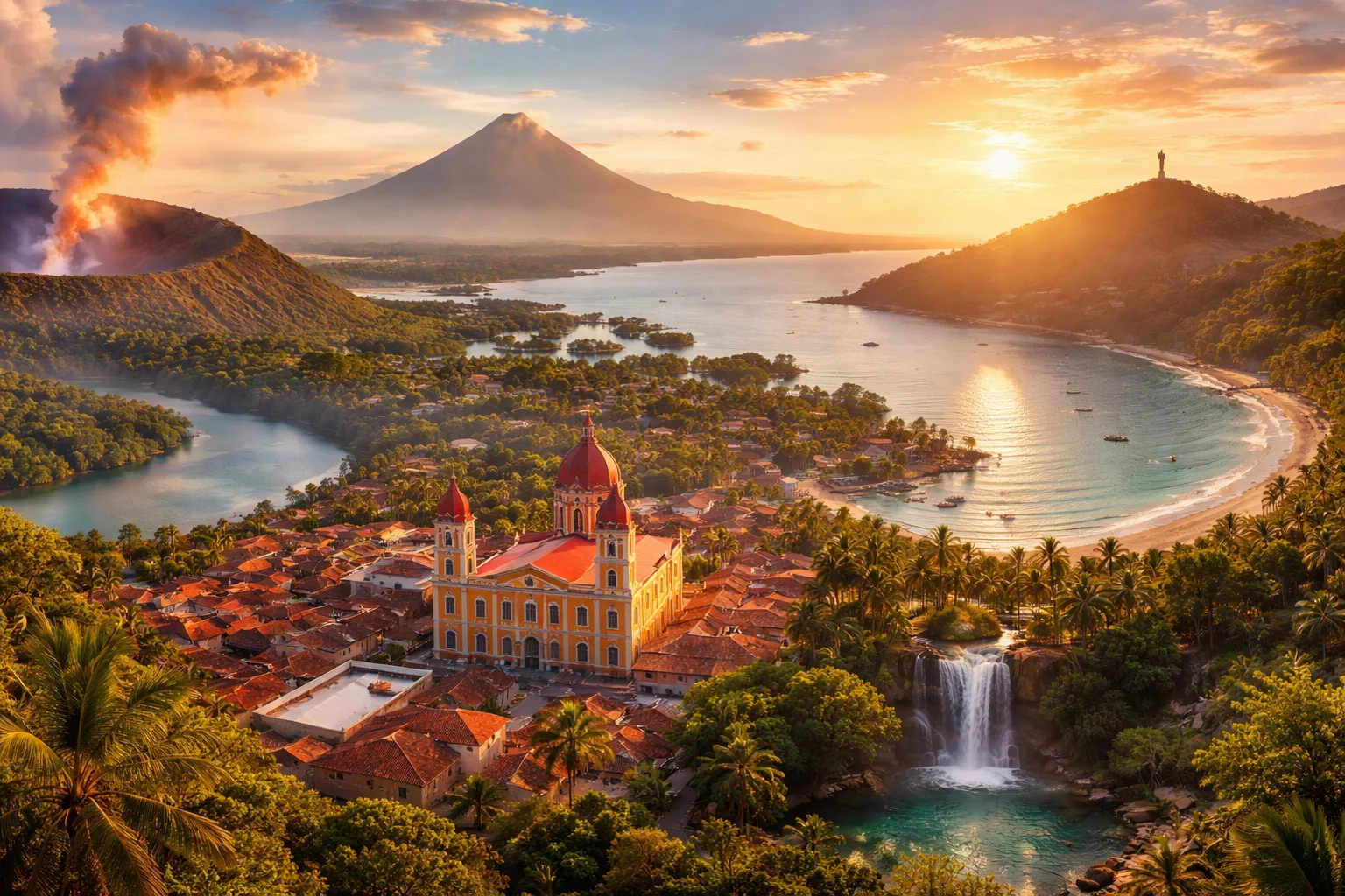
Nicaragua overview
Nicaragua is the largest country in Central America by land area, located between the Pacific Ocean and the Caribbean Sea. It is distinguished by a volcanic Pacific spine, two large freshwater lakes, and an Atlantic lowland with Creole and indigenous cultures. Its history has linked local revolutions to wider regional politics, while its economy combines smallholder agriculture and niche exports such as premium tobacco with growing light manufacturing. Major cities are concentrated on the Pacific lowlands, while the Atlantic coast retains autonomous institutions and distinct cultural traditions.
Common Geography Questions About Nicaragua
Where Nicaragua is located
Nicaragua lies in Central America between roughly 11° and 15° north latitude and about 83° to 87° west longitude. It borders Honduras to the north and Costa Rica to the south; the San Juan River forms part of the southeastern boundary with Costa Rica. To the west is the Pacific Ocean with a volcanic coastal plain; to the east is the Caribbean Sea and the Mosquito (Miskito) Coast. Two large inland bodies of water—Lake Nicaragua (Lago Cocibolca) and Lake Managua—anchor its interior and give the country a marked east–west hydrological connection.
Geography and landscape of Nicaragua
Nicaragua’s terrain ranges from the volcanic Pacific lowlands—an almost continuous chain of stratovolcanoes—to the central highlands and the broad Caribbean lowlands. The Pacific slope contains fertile volcanic soils and the highest peaks, while the Coco (Wanki) River in the north is Central America’s longest river and drains into the Mosquito Coast. Lake Nicaragua, the largest lake in Central America, hosts islands and a fluvial outlet to the Caribbean via the San Juan River. Climatic gradients are sharp: seasonally dry tropical savanna on the Pacific and humid tropical rainforest on the Caribbean coast, producing distinct agricultural zones within one country.
Nicaragua culture and society
Spanish is the national language across most of the country, but Nicaragua uniquely preserves several indigenous and Creole languages—Miskito, Sumo (Mayagna), Rama and English-based Creole—especially along the Caribbean coast. Cultural life mixes Spanish-influenced Catholic rituals, lively patron-saint festivals on the Pacific side and Afro-Caribbean celebrations such as Palo de Mayo on the Atlantic. Social patterns show a mestizo majority concentrated in Pacific urban centers and coastal minorities with autonomous institutions; voseo (use of “vos”) is the dominant informal second-person form in Nicaraguan Spanish, giving local speech a characteristic rhythm.
History of Nicaragua
Before European contact, the territory hosted distinct indigenous groups: Chorotega and Nicarao peoples on the Pacific and Miskito polities on the Atlantic littoral. Spanish colonial rule integrated the Pacific highlands with the Captaincy General of Guatemala while the Atlantic retained relative autonomy. In the 19th century Nicaragua experienced episodes of foreign intervention and the brief rule of filibuster William Walker, followed by debates over an inter-oceanic canal corridor through Lake Nicaragua. The 20th century saw the Somoza family’s long control of state power and a consequential Sandinista revolution that reshaped Nicaragua’s political alignments and its role in Cold War–era Central America.
Nicaragua economy and government
Nicaragua is governed under a presidential system with a single-chamber legislature (National Assembly) and constitutional provisions for two autonomous Atlantic regions with regional councils. Its currency is the córdoba. Economically, the country combines export agriculture—coffee in highlands, beef and sugar on the plains—and specialized tobacco cultivation and cigar production in northern departments like Estelí. Light manufacturing and maquila assembly exist alongside artisanal fisheries. A notable structural characteristic is the dominance of smallholder producers on volcanic soils that yield premium agricultural commodities, making the economy sensitive to commodity cycles and natural hazards.
Regions and major cities of Nicaragua
Administratively Nicaragua has 15 departments and two autonomous Atlantic regions commonly referred to as the North and South Caribbean Coast Autonomous Regions. The capital, Managua, sits on Lake Managua and is the country’s political and logistical hub. Other major cities include León, historically an intellectual and revolutionary center; Granada, Nicaragua, a colonial city on the shores of Lake Nicaragua known for its Spanish-era architecture; and Estelí, a highland city associated with tobacco cultivation and light industry. Geographically, the country is commonly divided into Pacific lowlands, central highlands, and Caribbean Moskitia, each with distinct economic and cultural profiles.
Distinctive characteristics of Nicaragua
Concrete features that distinguish Nicaragua internationally include Lake Nicaragua’s unusual ecology—historically reported to host freshwater populations of bull sharks—and Ometepe Island, a volcanic twin-cone island that defines the lake’s landscape. Nicaraguan cigars, grown in regions such as Estelí and Condega on volcanic soils, have a recognized place in global tobacco markets. In literature, Nicaragua is widely associated with the poet Rubén Darío, a central figure in Spanish-language modernismo. Politically, the Sandinista movement and the country’s history of autonomy on the Mosquito Coast are recurring reference points in discussions of Latin American revolutionary politics and indigenous self-governance.
Places in Nicaragua
Apoyo Lagoon
Apoyo Lagoon is a volcanic crater lake in southwestern Nicaragua that occupies a near-circular caldera. It is important as a biologically rich freshwater body and as a subject for geological and evolutionary research. The lake has formal protection under Nicaraguan natural-reserve legislation, which establishes conservation obligations for its watershed. Its location within a volcanic landscape and distinct aquatic communities gives the place scientific and ecological significance beyond purely scenic value.
Corn Islands
Corn Islands is an island group in the western Caribbean Sea off Nicaragua, composed of two principal islands, Big Corn Island and Little Corn Island. The islands serve as a distinct municipal territory within Nicaragua and support a combined resident population numbering in the low thousands. Their significance derives from a concentrated Afro-Caribbean cultural heritage and adjacent coral reef systems that are important for regional biodiversity and coastal fisheries. The islands occupy a compact maritime landscape with measurable terrestrial and marine boundaries.
Estelí
Estelí is a city in northern Nicaragua known for highland agriculture and premium cigar production. It lies within a mountainous valley and stands at approximately 844 meters above sea level, a concrete elevation measurement used in geographic records. Estelí functions as an economic and cultural center for surrounding rural areas and has a measurable footprint in national tobacco exports, artisanal manufacturing, and regional conservation efforts that contribute to its significance.
Granada
Granada is a historic city on the western shore of Lake Nicaragua in the Republic of Nicaragua. It serves as the capital of the Granada Department and anchors a regional urban area. The city sits at roughly 34 meters above sea level, a concrete measurable elevation used in geographic descriptions. Granada is significant for its well-preserved Spanish colonial urban layout and a concentration of 18th- and 19th-century civic and religious architecture that inform national heritage studies.
Granada (Colonial City)
Granada (Colonial City) is a Spanish colonial urban center on the shores of Lake Nicaragua in the Republic of Nicaragua. It is a municipal seat and the capital of the department of Granada, notable for an urban core founded in 1524. The historic district preserves a compact grid of plazas, civic buildings, and churches that together provide measurable architectural continuity from the colonial period to present municipal planning. Granada (Colonial City) is significant for its long-standing role in regional trade and cultural history.
Leon
Leon is a historic city in western Nicaragua, serving as the main urban center of the Leon Department. The city sits at a measured elevation near 70 metres above sea level and has an estimated population of about 200,000 residents. Leon is significant as a colonial administrative seat, a long-standing center of Nicaraguan intellectual life, and a focal point for regional cultural heritage and political history within the Pacific lowland corridor.
Managua
Managua is the capital city of Nicaragua and the country’s principal political and administrative centre. Managua is located in the Pacific lowlands and functions as the national hub for government, commerce, and higher education. The metropolitan area contains more than one million inhabitants, making it Nicaragua’s largest urban agglomeration. The city’s formal status as capital determines its central role in national decision-making and public administration.
Masaya Volcano
Masaya Volcano is an active volcanic complex in southwestern Nicaragua, notable for its large caldera and persistent gas emissions. It lies within Masaya Department and dominates local topography with a summit elevation of approximately 635 meters above sea level. The site holds geological, cultural, and scientific significance as a well-documented example of basaltic volcanism and long-term human interaction with volcanic landscapes across centuries.
Mombacho Volcano
Mombacho Volcano is a stratovolcano in southwestern Nicaragua that rises to 1,344 meters above sea level. It sits near the city of Granada and overlooks the southern shore of Lake Nicaragua, giving it strong regional visual prominence. Its significance derives from a combination of ecological importance, distinctive volcanic landforms, and longstanding cultural recognition by local communities. The volcano supports montane forests and has a formally measured summit elevation used in geographic and scientific descriptions.
Ometepe Island
Ometepe Island is a volcanic island in Lake Nicaragua, Republic of Nicaragua, defined by two prominent stratovolcanoes and notable archaeological remains. The island covers approximately 276 square kilometers and includes the volcanoes Concepción and Maderas, with summit elevations near 1,610 and 1,394 meters respectively. Ometepe Island is significant as a compact setting where active volcanism, freshwater-lake processes, and substantial pre-Columbian cultural deposits occur within a single island landscape.
San Juan del Sur
San Juan del Sur is a coastal town and municipal seat on Nicaragua's Pacific coast in the department of Rivas. It occupies a naturally sheltered bay that shapes the town's maritime economy and urban layout. The municipality of San Juan del Sur functions as an administrative unit recognized in national registers and governed within departmental structures. The town's formally defined status as a municipal seat is a concrete fact recorded in Nicaragua's administrative divisions.
Somoto Canyon
Somoto Canyon is a deep, narrow gorge in northern Nicaragua near the town of Somoto in Madriz Department. It is notable for steep rock walls, a confined river channel, and well-exposed geological strata. The main gorge extends roughly three kilometers, providing a measurable scale for geomorphological description. The site attracts scientific interest and regional recognition because it exemplifies landscape evolution in Nicaragua's northern highlands.