Nepal Guide
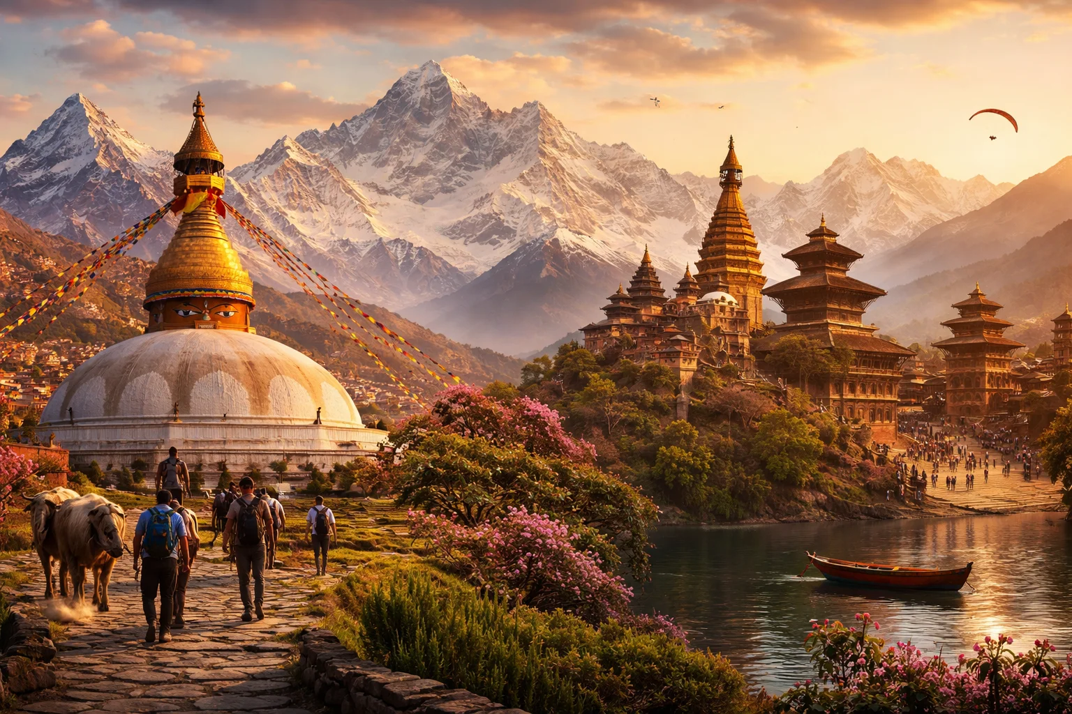
Nepal overview
Nepal is a sovereign country in South Asia occupying a narrow, altitudinally compressed strip between the high Tibetan Plateau and the Indian plain. The state concentrates dramatic elevation changes into short horizontal distances, which produces sharply differentiated ecologies and local economies within a small land area. Nepal’s public life is shaped by a multilingual population and layered Hindu–Buddhist cultural patterns that intersect with distinctive institutions such as the Gurkha military tradition. The modern polity organizes governance around recently instituted federal structures and a mix of urban and rural livelihoods anchored in agriculture and mountain tourism.
Common Geography Questions About Nepal
Where Nepal is located
Nepal sits in South Asia roughly between 26°22′–30°27′ N latitude and 80°4′–88°12′ E longitude. It is landlocked, sharing long borders with the Republic of India to its south, east and west, and with the Tibet Autonomous Region of the People’s Republic of China to the north; there is no coastline. Major continental watersheds that have their headwaters inside the country drain southward into the Ganges basin. Nepal’s territorial corridor runs from subtropical lowlands in the south to some of the highest mountain frontiers on Earth along its northern margin.
Geography and landscape of Nepal
Nepal’s terrain ranges from Terai alluvial plains in the south through mid-hill terraces and up to the high Himalaya; elevations span roughly from under 100 metres to the summit of the world’s highest mountain. Several principal river systems — the Koshi, Gandaki and Karnali — carve east–west valleys and supply monsoon-fed plains. The country contains a concentrated share of the planet’s highest peaks: eight of the world’s fourteen 8,000-metre summits lie wholly or partly within Nepali borders. Climatic zones change rapidly with altitude, yielding tropical, temperate, alpine and nival environments within short distances.
Nepal culture and society
Nepal’s official language is Nepali, written in Devanagari, but the population speaks a mosaic of indigenous tongues — more than a hundred languages and dialects are recorded — producing highly localized cultural zones. Religious life is dominated by Hinduism and Buddhism, which overlap in rituals, pilgrimage sites and temple forms; Lumbini, on the plains, is the historical birthplace of Gautama Buddha. Urban communities such as the Newar of the Kathmandu Valley retain unique guild-based festivals and the traditional institution of a living goddess (the Kumari), features rarely concentrated at the national scale elsewhere.
History of Nepal
Nepal’s modern territorial configuration emerged from 18th-century unification campaigns led by Prithvi Narayan Shah, which consolidated disparate hill polities. The Anglo–Nepalese Sugauli Treaty (1816) established much of the present frontier while leaving Nepal independent; it later navigated colonial-era pressures without formal annexation. Political evolution since the mid-20th century includes the end of hereditary Rana rule, a long-standing monarchy, a Maoist insurgency that reshaped politics, and the abolition of the monarchy in the early 21st century in favor of republican, federal arrangements under a 2015 constitution.
Nepal economy and government
Nepal is governed as a federal parliamentary republic with a written constitution; the arrangement distributes responsibilities among federal, provincial and local tiers, and executive power rests with the prime minister while a president serves in a largely ceremonial role. The economy combines subsistence and commercial agriculture, a significant stream of overseas labor remittances, and specialized services tied to mountain recreation and expedition logistics. The national currency is the Nepalese rupee (NPR); hydropower from steep river systems is an economically strategic sector with large export potential and a distinct investment profile compared with flatter agrarian neighbours. Nepal’s open border facilities with India also shape trade and labor flows.
Regions and major cities of Nepal
Administratively, Nepal is divided into seven provinces and a further set of districts that organise local government and service delivery; that federal map was designed to reflect linguistic, cultural and geographic variation. The capital and largest urban agglomeration is Kathmandu, located in a bowl-like valley with its own traditional urban culture. Other principal cities include Pokhara, known as a gateway to nearby mountain circuits, and Biratnagar, an industrial and commercial hub in the eastern plains. Rural highlands, mid-hill towns and Terai lowland municipalities present markedly different development patterns within the same national territory.
Distinctive characteristics of Nepal
Nepal is associated internationally with a small set of concrete, widely recognized features: it is the only country whose national flag is non-rectangular, it has an outsized global reputation in high-altitude mountaineering logistics through Sherpa communities, and it is the traditional recruiting ground for Gurkha regiments that have served in foreign militaries. Nepalese peacekeepers are a visible presence in United Nations operations, and the country’s combination of extreme vertical relief and cultural heritage — from valley urbanism to pilgrimage sites — produces a distinctive global profile in mountain science, expedition economies and religious tourism.
Places in Nepal
Central Zoo
Central Zoo is a state-run zoological park in Nepal and the principal curated animal collection based in Lalitpur. The site is operated by a national conservation institution and maintains purpose-built enclosures and veterinary facilities as part of its institutional mandate. Central Zoo serves a formal role in ex-situ stewardship by housing live collections of mammals, birds, and reptiles and by supporting species-management and research activities for Nepalese wildlife conservation.
Everest Base Camp
Everest Base Camp is the primary South Base Camp on the Nepalese side of Mount Everest, defined as a seasonal high-altitude encampment at roughly 5,364 meters above sea level. It serves as a logistical and observational concentration for mountaineering expeditions and scientific teams. The site is significant for its role in the recorded history of Everest ascents, in high-altitude research, and as a landmark in Himalayan geography and culture.
Kathmandu
Kathmandu is the capital and largest city of Nepal, serving as the country's administrative and cultural center. It occupies a bowl-shaped urban basin at an elevation near 1,400 meters above sea level and supports a metropolitan population exceeding one million residents. Kathmandu functions as the seat of national government institutions and major economic activity. Its significance arises from a high concentration of historic monuments, religious sites, and long-standing roles in politics, religion, and regional commerce.
Mount Everest
Mount Everest is the Earth's highest mountain above mean sea level, located on the Himalayan crest and partly within Nepal. It functions as a defining geographic landmark for Nepal and carries global significance in geology, human exploration, and science. The mountain's prominence influences studies of location, mountaineering history, scientific research, and alpine features that distinguish it from other regional summits.
Patan Museum
Patan Museum is a museum in Nepal that interprets and conserves traditional Newar sacred art. It is located within the palace complex of Patan Durbar Square in Lalitpur and sits inside a formally designated UNESCO World Heritage Site precinct. The institution maintains collections of metal sculptures, paubha paintings, and ritual objects while occupying historic palace courtyards that provide a measurable, built setting for its displays and conservation activities.
Thamel
Thamel is a district and central commercial neighborhood in Kathmandu, Nepal. It is located within Kathmandu Metropolitan City and occupies a compact urban area around approximately 27.715°N, 85.318°E, which provides a measurable geographic reference used in mapping and municipal records. Thamel is significant for its concentrated retail and service functions within the inner city, and for a long-standing role in Kathmandu’s modern urban economy and cross-cultural interactions.
Tribhuvan University
Tribhuvan University is a public national university in Nepal that functions as the country’s principal degree-granting institution. The university was established in 1959 as Nepal’s first national university and maintains central administration in Kirtipur, a municipality on the western rim of the Kathmandu Valley. Tribhuvan University is formally constituted by legislation and serves as the central authority for multiple constituent campuses and a broad network of affiliated colleges, making its academic statutes and degree regulations measurable instruments of national higher education policy.
Explore Natural Landmarks in Nepal
Browse islands and mountains connected with Nepal to keep exploring related geography clusters.