Namibia Guide
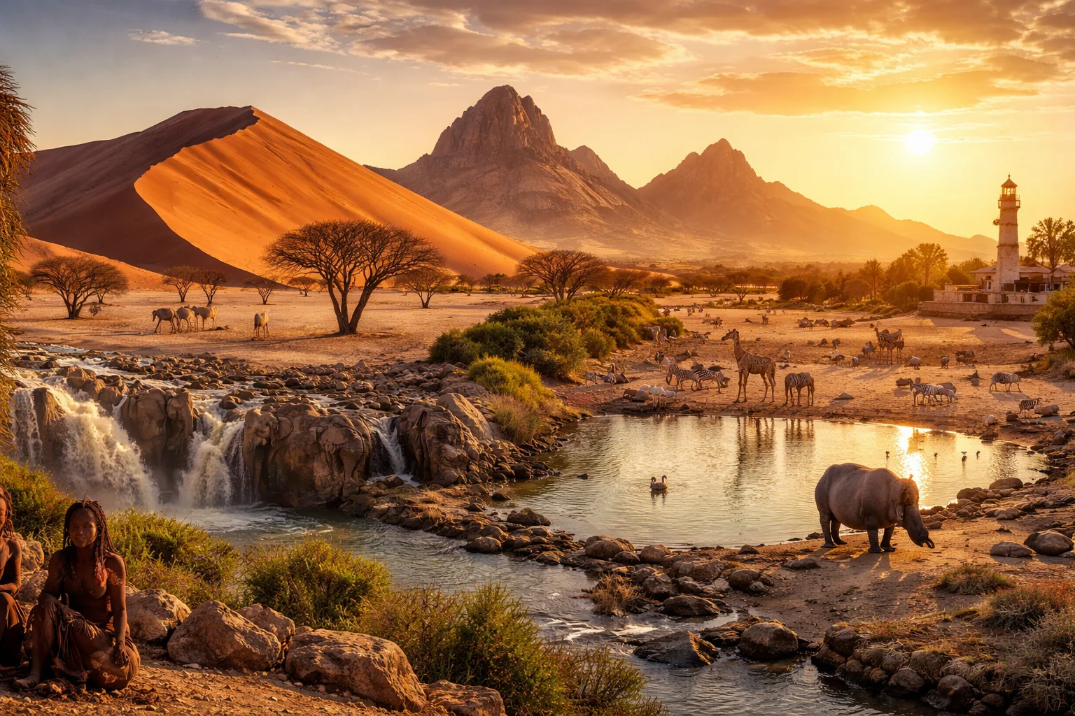
Namibia overview
Namibia is a sovereign state on the southwest coast of Africa characterized by vast arid landscapes, a thinly scattered population, and a modern constitution dating from 1990. The country is regionally significant as a major exporter of diamonds and uranium and for its internationally recognized conservation experiments that return land rights to local communities. Namibia combines a long Atlantic shoreline, one of the world’s oldest deserts, and a multilingual society shaped by German and South African colonial legacies, creating a distinctive political and environmental profile in Southern Africa.
Common Geography Questions About Namibia
Where Namibia is located
Namibia lies on the continent of Africa’s southwest edge, roughly between 17° and 29° south latitude and 11° and 25° east longitude. It borders Angola to the north, Zambia at a narrow northeastern quadripoint-like connection, Botswana to the east and South Africa to the south and southeast, with the Atlantic Ocean forming its entire western seaboard. Namibia’s location is defined by the long, thin Zambezi/Caprivi panhandle that reaches toward the Zambezi River and by the cold Benguela Current offshore, which generates coastal fogs uncommon for countries at similar latitudes.
Geography and landscape of Namibia
Namibia’s geography ranges from the sand seas of the Namib Desert along the Atlantic to the gravel plains and Kalahari semi-desert in the east, with a central high plateau and isolated mountain massifs such as the Brandberg and the Fish River Canyon cutting deep into the south. The Etosha Pan is a vast salt pan that forms part of an interior drainage system unique to the region. Coastal fog sustains desert-adapted life—Welwitschia plants and endemic invertebrates—and the country hosts the Namib Sand Sea, a UNESCO-recognized landscape of shifting megadunes.
Namibia culture and society
Namibia’s culture is shaped by multiple language families: English is the official language, while Oshiwambo dialects, Afrikaans, Nama/Damara, and traditional German-speaking communities are widely used. The Himba pastoralist culture, notable for its red ochre body coating and semi-nomadic livestock management in the northwest, is distinctive in Southern Africa. Christianity predominates alongside indigenous belief systems; social structures remain strongly organized around clan and communal conservancy institutions that influence land use and resource governance in ways uncommon in more centralized states.
History of Namibia
Namibia’s history moves from millennia of San and Bantu-speaking inhabitants through late 19th-century German colonization, which culminated in the Herero and Namaqua uprisings and genocidal reprisals—events with continuing legal and diplomatic repercussions. After World War I the territory was administered by South Africa under League of Nations mandate and later subjected to apartheid policies. A protracted liberation struggle led by SWAPO and sustained international legal action produced a transition to independence in 1990, making Namibia one of the last African countries to emerge from colonial rule in the 20th century.
Namibia economy and government
Namibia is a constitutional republic with an elected president, a prime minister, a National Assembly and National Council, and an independent judiciary established in its 1990 constitution. The economy is resource-dependent: mining (notably diamonds and significant uranium deposits), commercial fishing off the Atlantic shelf, and tourism centered on desert and wildlife attractors. Agriculture is largely extensive livestock farming rather than intensive cropping. The Namibian dollar, introduced after independence, circulates alongside the South African rand under a fixed relationship—an arrangement that shapes monetary and trade dynamics with neighboring South Africa.
Regions and major cities of Namibia
Administratively, Namibia is divided into 14 regions, including the northern Oshana and Ohangwena regions, the central Khomas, and the narrow Zambezi Region (formerly Caprivi Strip) that extends to the Zambezi River. Windhoek is the capital city, the political and logistical hub on the central plateau. Other major cities include Swakopmund, a coastal town famed for German colonial architecture, and Walvis Bay, a deepwater port that historically operated as a separate enclave and remains central to maritime trade. Regional identities often align with language groups and ecological zones.
Distinctive characteristics of Namibia
Namibia is globally associated with its ancient Namib Desert and the Namib Sand Sea, Etosha’s salt pan and wildlife concentrations, and pioneering community-based conservancies that return wildlife revenues to local custodians—models studied internationally for conservation and rural development. The country is also known for substantial marine and onshore diamond resources and for being a significant supplier of uranium. Cultural traces of German colonialism persist in language, architecture and cuisine, combining with indigenous practices such as Himba pastoralism and Welwitschia-dominated desert ecology to create a recognizable international profile.
Places in Namibia
Caprivi Strip
Caprivi Strip is a narrow eastward extension of Namibia that projects between several southern African countries and rivers. It occupies an elongated corridor approximately 450 kilometres long and varies from about ten to thirty-two kilometres in width. The corridor links Namibian territory to the Zambezi River basin and holds significant ecological, historical, and geopolitical importance. Its defined form and measurable length make it a distinct geographic feature within Namibia's national boundaries.
Damaraland
Damaraland is an arid, geologically varied region in northwestern Namibia defined by rugged hills, dry riverbeds, and distinctive rock art. The area is significant for both cultural heritage and desert ecology and contains Twyfelfontein, a UNESCO World Heritage Site recognized for its petroglyphs. Damaraland supports scientific study of desert-adapted species and long-term human occupation evidenced by large concentrations of engravings and archaeological sites. The region forms a notable physiographic zone within Namibia’s interior landscape.
Epupa Falls
Epupa Falls is a series of rapids and waterfalls on the Kunene River in Namibia. The falls lie on the Namibia–Angola border, where the river splits around islands and cascades over erosion-resistant rock to form stepped channels and plunge pools that define the local river morphology and a cross-border natural boundary. Epupa Falls is notable for its palm-fringed banks and the way the river transitions from braided rapids to calmer downstream pools.
Etosha National Park
Etosha National Park is in northern Namibia. It is a protected savanna and salt-pan complex covering approximately 22,270 square kilometers, centered on the roughly 4,800-square-kilometer Etosha Pan. Wildlife gathers around permanent water sources and the pan's shallow margins, while the park's salt-pan geology and large-mammal populations support long-term ecological research.
Fish River Canyon
Fish River Canyon is a large river-carved gorge in southern Namibia and a prominent geological landmark. The canyon extends for about 160 kilometers and reaches depths up to approximately 550 meters in places. Its location in arid terrain exposes long sequences of bedrock and sediment, making the site significant for geological research and regional biodiversity studies. The canyon’s measurable length and depth have been catalogued in national park records and geological surveys, establishing it as a key reference feature in Namibian natural history.
Kolmanskop Ghost Town
Kolmanskop Ghost Town is a former diamond-mining settlement in southern Namibia near the coastal town of Lüderitz. The site is significant for its well-preserved early 20th-century buildings and its demonstration of boom-and-bust resource extraction. The settlement lies within the Namib Desert region and covers a compact cluster of structures that reflect colonial-era urban planning. The location is approximately ten kilometres inland from Lüderitz, making that distance a measurable geographic reference.
Skeleton Coast
Skeleton Coast is a coastal region of northwestern Namibia noted for its stark shoreline, maritime wreckage, and ecological distinctiveness. The area extends roughly 500 kilometres of Atlantic coastline and forms the seaward edge of the Namib Desert, combining arid dunes with cold-water marine influence. The Skeleton Coast is significant for its concentration of historic shipwrecks, fog-dependent ecosystems, and status as one of southern Africa’s largest contiguous desert-coastal landscapes. Its landscape and biodiversity make it a subject of scientific and conservation interest.
Sossusvlei
Sossusvlei is a salt and clay pan set among some of the tallest dunes of the Namib Desert in Namibia. It occupies a dry basin formed where the ephemeral Tsauchab River terminates, and local dunes exceed 300 meters in height. The place is significant for geomorphological study, for the fossilized camel-thorn trees found in Dead Vlei, and for its role within Namib-Naukluft National Park. Its measurable dune heights and unique pan morphology make it a reference site for desert sediment dynamics.
Spitzkoppe
Spitzkoppe is a group of bald granite peaks in central Namibia that form a prominent inselberg complex in the Namib Desert. It comprises domed plutonic outcrops whose highest summit reaches about 1,728 metres above sea level. The site is significant for its clear expression of granite weathering, distinctive exfoliation features, and concentrations of prehistoric rock art. Spitzkoppe also provides measurable topographic prominence of roughly 700 metres above the surrounding plain, making it an unmistakable regional landmark.
Swakopmund
Swakopmund is a coastal city on Namibia's central Atlantic seaboard, established at the mouth of the Swakop River. It lies at approximately 22.68°S, 14.53°E and occupies a narrow zone between desert dunes and the ocean. The settlement is significant for its well-preserved German colonial urban fabric and for marking a distinctive interface between the Namib Desert and the Atlantic littoral. Its mapped municipal footprint and coastal alignment make the site a measurable geographic and cultural landmark in western Namibia.
Twyfelfontein
Twyfelfontein is a rock-art site and archaeological complex in northwestern Namibia noted for one of the continent’s largest concentrations of petroglyphs. It comprises engraved sandstone panels and associated occupation deposits that document long-term human activity. The site contains over 2,500 individual engravings executed with pecking and abrading techniques. Twyfelfontein holds national and international significance for research into prehistoric symbolic systems and was inscribed as a UNESCO World Heritage Site in 2007.
University of Namibia
University of Namibia is a public university in Namibia established by Act of Parliament in 1992. Its main administrative headquarters and principal campus are based in Windhoek, and the institution functions as the national higher-education authority created to consolidate degree-level teaching, research, and professional training across the country. The university is formally constituted under national legislation and serves as the principal provider of university-level programmes in multiple academic faculties and postgraduate fields. This legal founding and its role in national education policy are central measurable facts about the institution.