Mozambique Guide
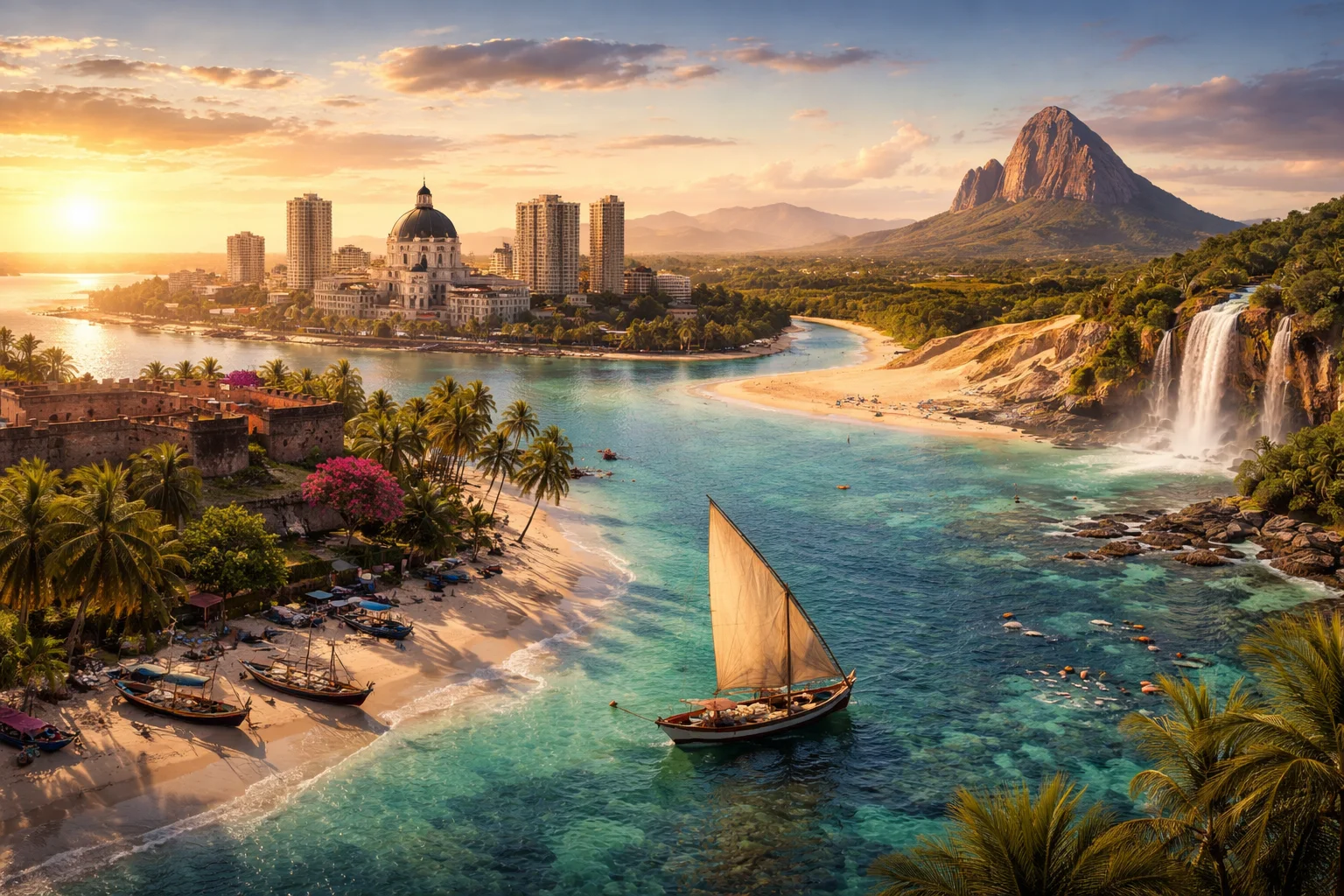
Mozambique overview
Mozambique is a sovereign state on the southeast coast of Africa with a long Indian Ocean frontage and a Portuguese colonial legacy. Straddling the Mozambique Channel opposite Madagascar, the country is notable for a coastline of coral reefs, tidal estuaries and the Ilha de Mozambique — a fortified island town that served as a Portuguese colonial capital. Economically, Mozambique combines large-scale hydropower and aluminium smelting with subsistence agriculture and significant offshore natural gas resources. Its human geography blends dozens of Bantu languages under Portuguese as the official language.
Common Geography Questions About Mozambique
Where Mozambique is located
Mozambique lies in southeastern Africa, roughly between about 11°S and 26°S latitude and 30°E and 41°E longitude. It borders Tanzania to the north, Malawi and Zambia to the northwest, Zimbabwe to the west, and South Africa and Eswatini to the southwest. The Indian Ocean shapes its eastern boundary, and the Mozambique Channel separates the mainland from Madagascar. Important transboundary rivers — notably the Ruvuma (bordering Tanzania) and the Limpopo — provide internationally recognized drainage corridors that define parts of Mozambique’s limits and maritime access.
Geography and landscape of Mozambique
Mozambique’s geography includes a narrow coastal plain rising to an interior plateau and granite highlands; the Zambezi River bisects the country west-to-east, forming the Cahora Bassa reservoir — one of Africa’s largest artificial lakes. The highest point is Mount Binga on the Zimbabwe border, while the central Gorongosa massif and associated floodplain host unusually sharp contrasts of savanna, miombo woodland and seasonal wetlands. Coral atolls and extensive mangrove belts on the coast give the country unique coastal ecosystems that support both artisanal fisheries and migratory marine life.
Mozambique culture and society
The culture of Mozambique is characterized by a layering of Portuguese colonial institutions over dozens of Bantu-speaking ethnic groups; Portuguese remains the language of government and education while Emakhuwa, Macua, Sena, Tsonga and Makonde are among major mother tongues. Distinctive Makonde woodcarving and Mapiko masked dances persist alongside coastal Islamic traditions and inland Christian practices. Musical forms such as marrabenta and the Chopi timbila orchestras of Inhambane reflect region-specific instruments and choreography, producing cultural markers found particularly in Mozambican festivals and social rituals.
History of Mozambique
Mozambique’s recorded history pivots from Swahili coast trade and fortified island settlements to five centuries of Portuguese colonial rule centered on trading posts like Ilha de Mozambique. Portuguese control ended in 1975 with FRELIMO’s independence victory; the new state then endured a prolonged post-independence conflict between FRELIMO and RENAMO that shaped urban displacement and rural militarization. Peace accords and reconstruction in the 1990s reopened Mozambique to global investment, especially in hydropower and mineral exploration, creating a historical arc from a colonial entrepôt to a post-conflict country with strategic coastal resources.
Mozambique economy and government
Mozambique is a presidential republic with a unicameral Assembly and a strong executive; the Liberation Front (FRELIMO) has been a dominant political force since independence. The economy mixes subsistence farming—cassava, maize and cashews—with capital-intensive sectors: the Mozal aluminium smelter near Maputo, the Cahora Bassa hydroelectric complex, and extensive offshore natural gas discoveries in the Rovuma Basin. The national currency is the metical. Fiscal structure relies on a combination of extractive-sector revenues, donor inflows and remittances rather than a broadly industrialized domestic market.
Regions and major cities of Mozambique
Administratively Mozambique is divided into ten provinces plus the separate Maputo City province. Major cities include the capital Maputo, a port and commercial hub on Maputo Bay; Beira on the central coast serving as a transport gateway to inland Zambia and Zimbabwe; and Nampula in the north, a regional commercial center. Coastal provinces like Cabo Delgado and Nampula contrast sharply with inland provinces such as Manica and Tete, which contain highland plateaus and mining corridors; the island town of Ilha de Mozambique remains a distinct UNESCO-inscribed historic district.
Distinctive characteristics of Mozambique
Mozambique is widely associated with its long Indian Ocean coastline, the Cahora Bassa dam on the Zambezi, and the UNESCO-listed Ilha de Mozambique with its unique Swahili–Portuguese architecture. Internationally, it is recognized for sizeable offshore natural gas reserves in the Rovuma Basin and for the Mozal aluminium smelter, industrial assets that anchor global trade links. Culturally, Makonde carving and Chopi timbila orchestras provide music and arts forms tied specifically to Mozambican identity rather than to neighboring states. These concrete features shape how Mozambique appears on regional and global maps.
Places in Mozambique
Bazaruto Archipelago
Bazaruto Archipelago is an island group off the southern coast of Mozambique that forms a designated marine and terrestrial conservation area. The archipelago lies within Inhambane Province and is significant for its extensive seagrass beds, coral reefs, and associated marine megafauna. The protected area that includes the islands and surrounding waters covers approximately 1,430 square kilometres. Its combination of barrier islands, shifting sand dunes, and offshore reef systems gives the archipelago lasting ecological and scientific importance.
Chimanimani Mountains
Chimanimani Mountains is a compact mountain range along Mozambique's western border with Zimbabwe, notable for rugged peaks and biodiversity. The range sits within Manica Province and includes Mozambique's highest peak, Monte Binga, at 2,436 metres above sea level. Its steep ridges and deep valleys create a mosaic of distinct montane habitats with measurable altitudinal zonation and ecological turnover. The range is significant for sustaining endemic species, regulating watershed functions, and supporting transboundary conservation efforts.
Eduardo Mondlane University
Eduardo Mondlane University is Mozambique's principal public university, located in the capital city of Maputo. It is named after Eduardo Mondlane, a leader of the Mozambican independence movement. The institution functions as the country's largest center for tertiary education and research, with multiple faculties and national research centers under its administration. Its governance includes a Rector and a University Council responsible for academic and administrative oversight, and its degree-awarding powers are established by national legislation and university statutes. The university serves as a national hub for higher education and research in Mozambique.
Gorongosa National Park
Gorongosa National Park is a designated national park in central Mozambique notable for its ecological diversity and ongoing restoration efforts. The park covers roughly 4,067 square kilometres and includes a wide range of habitats from lowland floodplains to montane forest. It is significant for sustained scientific study, large mammal populations, and a high-profile conservation partnership that aims to restore wildlife and ecosystems following severe population declines in the late twentieth century.
Ilha de Moçambique
Ilha de Moçambique is a small coral island off the northern coast of Mozambique that served as an important historic trading port. It lies within Nampula Province and measures roughly three kilometers in length across its narrow axis. The island is significant for its concentrated ensemble of colonial-era buildings and Swahili urban fabric, and it holds formal heritage recognition for the survival of its masonry fortifications, religious sites, and compact historic townscape.
Inhaca Island
Inhaca Island is a coastal island of southern Mozambique in the western Indian Ocean, significant for its marine biodiversity and scientific research. It lies at the entrance to Maputo Bay and covers approximately 52 square kilometres, making it one of the larger islands adjacent to Mozambique's mainland. The island's significance derives from its mosaics of mangrove, seagrass and reef habitats and from its role as a long-term field location for ecological and taxonomic studies.
Lake Malawi (Mozambique side)
Lake Malawi (Mozambique side) is the portion of Lake Malawi that lies within Mozambique’s national jurisdiction along the lake’s eastern and southeastern shoreline. It forms part of the international lake shared with Malawi and Tanzania and contributes to the lake’s overall area of about 29,600 square kilometres and maximum depth near 700 metres. This Mozambican shoreline is significant for its freshwater biodiversity, coastal fisheries, and role in regional transboundary resource management.
Maputo
Maputo is the capital and largest city of Mozambique, situated on the country’s southern coast and serving as its national seat of government. The city functions as the principal commercial hub and hosts Mozambique’s principal seaport. Maputo’s urban municipality is formally designated as the country’s political center, and its role as a metropolitan nucleus underpins national administration, major transport connections, and concentration of cultural institutions.
Natural History Museum of Maputo
Natural History Museum of Maputo is Mozambique's national natural history museum. It is located in Maputo, the country's capital, and is formally designated as a national museum within Mozambique's cultural framework. The institution maintains permanent scientific collections and curated exhibition galleries that document the nation's fauna, geology, and related natural heritage. Its core functions include long-term specimen curation, scientific documentation, and conservation-focused collections management within the national museum system.
Niassa Reserve
Niassa Reserve is a large protected wildlife area in northern Mozambique notable for its extensive miombo woodlands and biodiversity. It occupies approximately 42,000 square kilometres, making it one of the largest conservation landscapes in southern Africa. The reserve is significant for sustaining wide-ranging populations of large mammals, supporting scientific research into intact African ecosystems, and for its role in regional conservation strategies addressing habitat-scale threats and species persistence.
Pemba Bay
Pemba Bay is a natural deep-water bay on the Indian Ocean coast of northern Mozambique, adjoining the city of Pemba. The bay functions as a sheltered marine embayment that supports local fisheries and urban waterfront activities. Its centroid coordinates are approximately 12.97° S, 40.52° E, providing a concrete geographic reference. The inlet spans several kilometres across its mouth and forms a protected inner basin distinct from adjacent open coastline.
Quirimbas Islands
Quirimbas Islands is an archipelago off the northern coast of Mozambique in the western Indian Ocean. The group comprises about 32 islands clustered along Cabo Delgado Province and includes inhabited and uninhabited islets. The archipelago is significant for its combined marine and terrestrial biodiversity and for Swahili and Portuguese cultural heritage. The Quirimbas Islands form part of a larger coastal system that supports extensive coral reefs and mangrove stands important for regional ecology and livelihoods.