Micronesia Guide
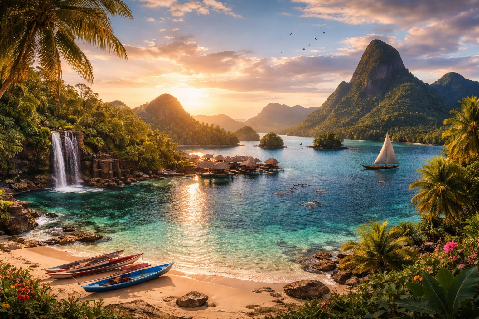
Micronesia overview
Micronesia is a sovereign Pacific island country composed of more than 600 widely scattered islands grouped into four federated states. Situated in the western Pacific Ocean, Micronesia’s significance comes from a combination of dense coral atolls, verdant volcanic high islands and a maritime exclusive economic zone far larger than its land area. Its political arrangements tie it closely to the United States through a Compact of Free Association, while its cultural identity rests on diverse Austronesian languages and distinctive local institutions such as Yap’s ceremonial stone money and Pohnpei’s Nan Madol ruins.
Common Geography Questions About Micronesia
Where Micronesia is located
Micronesia lies in Oceania, north of the equator in the western Pacific Ocean, roughly between the Philippines and the Marshall Islands. It shares maritime neighborhood ties with Palau to the west, the Federated States of Micronesia’s maritime space borders Guam and the Northern Mariana Islands to the north, and the Republic of the Marshall Islands to the east. Unlike most countries, Micronesia has no land borders; its territory is dispersed across hundreds of islands and atolls spanning many degrees of longitude, so its identity is defined more by ocean lanes, reefs and lagoons than by contiguous land.
Geography and landscape of Micronesia
Micronesia’s geography mixes high volcanic islands with low coral atolls; Pohnpei and Kosrae rise to steep, rainforest-clad volcanic summits, while many outer islands are narrow, low-lying reef atolls. The country’s most singular geographic contrast is the presence of Chuuk Lagoon, a sheltered natural harbor containing dozens of submerged World War II wrecks, and Pohnpei’s interior mountains that capture heavy orographic rainfall and host cloud forest ecosystems. Micronesia’s land area is tiny relative to its marine domain, giving it one of the highest ratios of exclusive economic zone to land area among nations.
Micronesia culture and society
Micronesia’s cultural landscape is multilingual: English functions as a national lingua franca while Chuukese, Pohnpeian, Yapese and Kosraean are principal indigenous tongues tied to local identity. Social organization often centers on extended kin groups; in parts of Micronesia land and lineage are matrilineal, with women controlling land titles in ways uncommon elsewhere. Christianity dominates religious life, but local kastom practices—chiefly ceremonial exchanges, canoe-building traditions and Yap’s living use of large stone money discs—remain integral. The population is small and dispersed, with many communities still tied to subsistence fishing and taro cultivation rather than urban livelihoods.
History of Micronesia
Micronesia’s history begins with early Austronesian seafaring colonists who established distinct island societies long before Europeans arrived. Spanish contact and colonial administration in the 16th–19th centuries was followed by German, then Japanese rule under mandate systems, leaving a layered imprint of missionization, plantation agriculture and wartime infrastructure. After World War II, U.S. trusteeship reshaped political and economic relations; the modern Federated States of Micronesia emerged through negotiated self-government and a Compact of Free Association. Micronesia’s past is marked by megalithic centers like Nan Madol and by Pacific theater battles whose wrecks now serve as historical and ecological sites.
Micronesia economy and government
Micronesia is a federal republic of four states—Yap, Chuuk, Pohnpei and Kosrae—each retaining substantial autonomy; the national president is chosen by the federated legislature rather than by direct popular vote, and there are effectively no formal political parties at the national level. The economy is characterized by heavy public-sector employment, dependence on U.S. financial assistance under the Compact, and revenue from tuna licensing and remittances. The U.S. dollar is the official currency. Unique economic features include limited arable land driving subsistence production, and specialized niches such as wreck-diving tourism around Chuuk Lagoon.
Regions and major cities of Micronesia
Administratively Micronesia is divided into four federated states that function like quasi-autonomous regions: Yap in the west, Chuuk and Pohnpei centrally, and Kosrae in the east. The national capital is Palikir on Pohnpei, an administrative center located inland rather than on the main coastal town, Kolonia. Other notable population centers and major cities include Weno in Chuuk—service hub for the lagoon islands—and Colonia on Yap, where traditional councils remain active alongside modern governance. Each state forms a distinct geographic and cultural region, with high-island societies differing sharply from the low-atoll communities.
Distinctive characteristics of Micronesia
Micronesia is globally associated with several concrete, recognizable features: Nan Madol’s basalt palaces on Pohnpei (a UNESCO World Heritage site), Yap’s still-ceremonial stone money system, and the infamous World War II ship and plane wrecks in Chuuk Lagoon that rank among the world’s premier wreck-diving sites. The country also plays an outsized role in Pacific fisheries negotiations because its vast maritime zone gives it leverage in tuna management. Politically, the Compact of Free Association ties Micronesia uniquely to U.S. security and migration systems, granting its citizens special mobility and shaping international relationships.