Marshall Islands Guide
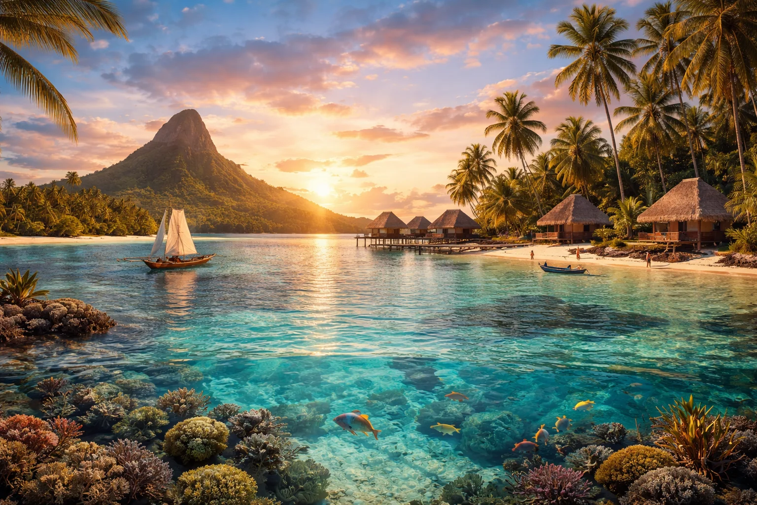
Marshall Islands overview
Marshall Islands is a sovereign island nation of low coral atolls and islands in the central North Pacific Ocean. The country is notable for its disproportionately vast maritime territory relative to its tiny land area, a legacy of twentieth‑century nuclear testing, and a Compact of Free Association that links its citizenship rights to the United States. Its settlements are concentrated on narrow reef flats and lagoon shores rather than inland plains, and most inhabited islets lack rivers or hills, relying on shallow freshwater lenses and imported goods to sustain modern life and economy.
Common Geography Questions About Marshall Islands
Where Marshall Islands is located
The Marshall Islands sits in Micronesia within Oceania, north of the equator and roughly midway across the central Pacific between Hawaii and Papua New Guinea. It has no land borders; nearest sovereign neighbors include the Federated States of Micronesia to the west, Kiribati to the southeast and Nauru to the south, while U.S. Wake Island lies to the north. The nation comprises two parallel chains, the Ratak and Ralik, set across a wide expanse of the Pacific; its land footprint totals under two hundred square kilometres while its exclusive economic zone covers roughly two million square kilometres of ocean.
Geography and landscape of Marshall Islands
The Marshall Islands landscape is dominated by ring-shaped coral atolls that rim shallow lagoons, with only a handful of single high islands arising from older volcanic foundations. There are effectively no rivers or inland freshwater courses; communities draw from fragile freshwater lenses and rain catchment. Kwajalein Atoll contains one of the world’s largest coral lagoons, and many atolls are only a few metres above sea level, producing extremely flat topography. Soil depth, groundwater salinity and wind-exposed reef margins create sharp contrasts in vegetation between windward motus and protected lagoon islets.
Marshall Islands culture and society
Marshallese is the primary indigenous language, with two main dialect groups aligning with the Ratak and Ralik chains; English functions as the lingua franca of government and education. Social identity is strongly clan-based and traditionally matrilineal, with land tenure and title passing through female lines on many atolls. Cultural knowledge includes specialized navigation using reed “stick charts” (rebbelib), canoe carving and sail traditions that are unique to the archipelago. Christianity is predominant, but customs such as communal fishing, lagoon stewardship, and elaborate chiefly and clan ceremonies remain pivotal to daily life.
History of Marshall Islands
Marshallese ancestry traces to Micronesian voyagers who settled the atolls centuries before European contact; the islands later encountered Spanish, German and Japanese influence through exploration, protectorate status and colonial administration. After World War II, the United States administered the territory under a UN trusteeship and conducted extensive nuclear testing at Bikini and Enewetak between 1946 and 1958, displacing populations and scattering radioactive fallout. The Marshall Islands negotiated independence with the Compact of Free Association in 1986, a defining moment that created enduring security, economic and migratory links with the United States.
Marshall Islands economy and government
The Marshall Islands is a constitutional republic with a unicameral legislature, the Nitijela, whose members elect the president from among themselves; there is no standing national military and defense responsibilities fall under the Compact with the United States. The economy uses the U.S. dollar and depends on a small number of revenue sources: fisheries access fees and licenses, fees from one of the world’s larger ship registries, remittances and Compact grants, plus modest exports like copra. Limited arable land, seawater intrusion and logistics costs constrain agricultural development and make the country reliant on imports.
Regions and major cities of Marshall Islands
Administratively the country is organized around its inhabited atolls and islands, commonly grouped into the Ratak (sunrise) and Ralik (sunset) chains; roughly two dozen atolls host permanent communities. The capital, Majuro, is both the political center and largest urban concentration, located on Majuro Atoll. Ebeye, on Kwajalein Atoll, is notable for extreme population density on a small motu and serves as a commercial hub for the western chain. Kwajalein itself hosts a U.S. ballistic test range with restricted-access facilities, which shapes local governance and land use on that atoll.
Distinctive characteristics of Marshall Islands
The Marshall Islands is widely associated with the legacy of U.S. nuclear testing—Bikini and Enewetak atolls—and the legal, health and displacement issues that followed, making it a case study in post‑testing remediation and compensation. It also punches above its land size through a large exclusive economic zone and an influential ship registry that registers commercial vessels under its flag. Traditional navigation technologies such as rebbelib stick charts, the Compact of Free Association allowing Marshallese migration to the United States, and the presence of the U.S. Kwajalein test site are further specific features that mark the nation’s global profile.