Malta Guide
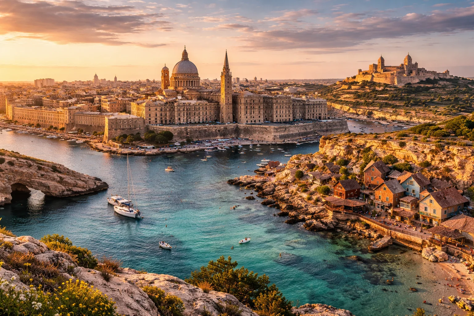
Malta overview
Malta is a small island republic in the central Mediterranean composed of an archipelago of three main inhabited islands and several smaller islets. Sitting between Sicily and North Africa, Malta’s strategic position has shaped its architecture, language, and role in regional shipping lanes. The country is notable for prehistoric megalithic temples older than the Egyptian pyramids, a compact urban footprint built from local Globigerina limestone, and official bilingualism in Maltese and English. Malta combines a dense population with a service-oriented economy and a long history as a maritime crossroads.
Common Geography Questions About Malta
Where Malta is located
Malta lies in Southern Europe in the central Mediterranean Sea at roughly 35.9°N, 14.5°E. It has no land borders; the nearest sovereign territory is the Italian island of Sicily about 90–100 km to the north, while the North African coast is several hundred kilometres to the south. Malta occupies a chain of islands clustered around the main island of Malta, with natural harbours—most notably the Grand Harbour and Marsamxett Harbour—that define its coastline and historically sheltered fleets and commerce. Its island geography means all international access is by sea or air.
Geography and landscape of Malta
The geography of Malta is dominated by low limestone plateaus, steep coastal cliffs and a near-total absence of permanent rivers; surface water drainage is almost entirely subterranean in karstified rock. The highest point, Ta’ Dmejrek on the Dingli Cliffs, reaches about 253 metres. Agricultural terracing and small field plots are visible across the islands; Gozo’s topography is noticeably greener and more hilly than the highly urbanized central plain of the main island. Unique coastal features include sea caves such as the Blue Grotto and the Blue Lagoon between Comino and Gozo, shaped by the islands’ marine erosion.
Malta culture and society
Maltese society is defined by a distinctive linguistic mix: Maltese, a Semitic language written in Latin script, and English are both official, creating bilingual public life not common in most European states. Roman Catholicism plays a prominent role in communal ritual, visible in the island festas—intense local feasts combining brass-band music, fireworks and street processions—that punctuate the calendar. Family networks, surname patterns reflecting Arabic, Italian and British layers, and practices like għana (traditional improvised singing) distinguish Malta’s cultural profile from mainland neighbours and shape everyday social interactions.
History of Malta
Malta’s history is a sequence of layered occupations that left dense cultural strata in a tiny territory: prehistoric builders erected megalithic temples and the subterranean Ħal Saflieni Hypogeum; Phoenicians and later Romans integrated Malta into Mediterranean trade; Arab governance left lasting impacts on language and agriculture; the Knights Hospitaller fortified the islands and founded Valletta in the 16th century. British rule from 1800 modernized institutions and introduced English before independence in 1964 and the 1974 republic. Malta’s resilience under siege in World War II earned the collective award of the George Cross, a rare national-level decoration for civilian bravery.
Malta economy and government
Malta operates as a unitary parliamentary republic with a ceremonial president and an executive prime minister leading a single-chamber House of Representatives elected largely by single transferable vote (STV), an electoral system uncommon globally but central to Maltese politics. The economy is service-dominated: tourism, financial and corporate services, iGaming and maritime services (including a notable ship registry) are major revenue sources. Malta adopted the euro and combines a mixed civil law tradition with British legal influences; its limited land area concentrates infrastructure and intensifies pressures on housing and logistics in ways atypical for larger states.
Regions and major cities of Malta
Administratively, Malta is divided into a network of local councils and five statistical regions, with local councils exercising most municipal functions—an arrangement reflecting the country’s high settlement density rather than large subnational provinces. Valletta is the capital, a densely built baroque fortress-city and UNESCO site serving government and ceremonial functions. Other major urban centres include Birkirkara, the largest town by population and commercial activity, and Sliema/St. Julian’s, which form the main tourism and service corridor. Gozo’s principal town, Victoria (often called Rabat), anchors the archipelago’s rural island identity.
Distinctive characteristics of Malta
Malta is globally associated with a few highly specific features: multiple UNESCO World Heritage entries (the Megalithic Temples and Valletta plus the Ħal Saflieni Hypogeum), a living Semitic language that is an official EU language, and the George Cross as a national symbol of WWII endurance. Practically, the islands are a frequent international film location because their compact, varied coastlines and preserved historic districts can stand in for diverse Mediterranean settings. Malta’s concentrated maritime services, significant online gaming sector, and the ubiquitous painted luzzu fishing boats with their “eye” motif are further concrete signatures linked to the country.
Places in Malta
Blue Grotto
Blue Grotto is a coastal sea-cave complex on the southern shore of Malta, defined by a series of marine caverns and arches. It lies within the administrative limits of the locality of Qrendi, and it is significant for its intense blue water reflections and distinctive coastal morphology. The site comprises multiple interconnected sea caves formed in Maltese limestone, and it is widely referenced in natural-history literature as an exemplar of Mediterranean coastal karstic features.
Mdina
Mdina is a fortified medieval walled city on the island of Malta and a formally defined historic urban core. It is significant as a conserved example of pre-modern urban morphology with continuous settlement layers visible in its built fabric. The place retains a small resident population recorded in national censuses and preserves municipal streets, defensive walls, and a compact civic precinct. Mdina is often cited in studies of Maltese urban history and heritage conservation.
University of Malta
University of Malta is Malta’s national public university and the island nation’s principal institution for higher education and research. The university is physically centered in the town of Msida, and it traces institutional origins to a 16th-century Jesuit college while being constituted as a university in 1769. University of Malta operates multiple faculties and research units that provide undergraduate and postgraduate degrees across the humanities, sciences, engineering, medicine, and law, and it maintains an institutional library complex and specialised research facilities on its main campus.
Valletta
Valletta is the fortified capital city of Malta, occupying a narrow limestone peninsula in the central Mediterranean. It functions as the national administrative and cultural centre and contains a high density of historic public buildings. The city covers about 55 hectares (0.55 square kilometres), making it one of Europe's smallest national capitals by area. Valletta's significance derives from its intact early modern fortifications and concentrated Baroque architecture that document strategic urban planning and elite patronage.