Malawi Guide
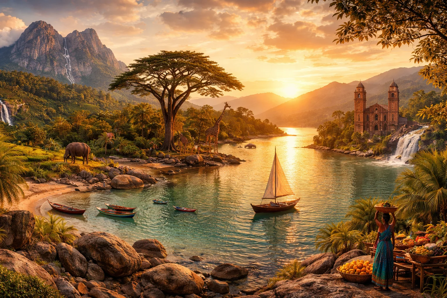
Malawi overview
Malawi is a landlocked country in southeastern Africa centered on Lake Malawi, a rift lake that covers roughly a third of the country's surface and supports extraordinary freshwater biodiversity. Straddling the southern terminus of the East African Rift, Malawi juxtaposes narrow lakeshore lowlands with high plateaus and the isolated granite massif of Mount Mulanje. Agriculture remains the backbone of the economy, with tobacco, tea and artisanal fisheries shaping export profiles and rural livelihoods. Political and social life is strongly influenced by regional languages and traditional institutions, producing a compact state with outsized environmental and cultural particularities.
Common Geography Questions About Malawi
Where Malawi is located
Malawi occupies roughly 118,000 square kilometres in southeastern Africa between about 9°30′ and 17° south latitude and 33° to 36° east longitude. It shares a northern and northeastern boundary with Tanzania, a short frontier with Zambia to the northwest, and is otherwise almost encircled by Mozambique, which borders Malawi on the east, south and much of the west. Lake Malawi (also called Lake Nyasa) runs along the eastern flank and provides a defining geographic axis; the Shire River drains the lake southward into the Zambezi basin, serving as the nation’s primary surface-water corridor.
Geography and landscape of Malawi
The country’s physiography is dominated by the southern extension of the East African Rift: a deep rift lake occupies the eastern trough while escarpments and plateaus step up to interior heights. Lake Malawi reaches depths exceeding 700 metres, producing steep, clear littoral zones unusual in landlocked states. Northern Malawi contains the Nyika Plateau’s montane grasslands above 2,000 metres; in the south the Mount Mulanje massif rises to nearly 3,000 metres and shelters the endemic, endangered Mulanje cedar. Climatic gradients run from humid tropical lakeshore lowlands to temperate highlands with a distinct wet season tied to regional monsoon circulation.
Malawi culture and society
Malawi’s everyday life is shaped by a mix of languages and local institutions: English and Chichewa are official, while Lomwe, Yao, Tumbuka and others structure regional communication. The Chewa people—numerically prominent in central Malawi—maintain the Nyau tradition and public masked performance known as Gule Wamkulu, an organized ritual society that regulates initiation and funerary practices in ways rare outside this lake‑district cultural zone. Religious life is predominantly Christian with a significant Muslim minority concentrated among southeastern Yao communities. Kinship regimes differ by group—matrilineal among Chewa and Tumbuka, patrilineal among Yao—affecting land tenure and inheritance at the village level.
History of Malawi
Malawi’s identity traces to the pre‑colonial Maravi polities of the 16th–18th centuries; the modern name derives from that regional polity. The lakeshore long connected inland societies to Indian Ocean and Swahili trading circuits before the 19th century brought intensified missionary activity and colonial incorporation. Declared the British Nyasaland Protectorate in the late 1800s, the territory was later joined to the Federation of Rhodesia and Nyasaland (1953–63), a union that catalysed nationalist mobilization. Independence followed in 1964; the post-independence era was dominated by Hastings Banda’s centralized rule until the 1990s transition to multiparty politics, which reconfigured Malawi’s domestic institutions and foreign relations.
Malawi economy and government
Malawi is a presidential republic with a unicameral National Assembly and a multi‑party system established after constitutional reforms in the 1990s. A notable administrative decision in state formation was the relocation of executive and legislative functions from the colonial highland town of Zomba to the more centrally positioned Lilongwe in the 1970s. Economically, Malawi remains heavily dependent on agriculture: tobacco has been the principal cash crop and export earner, while tea estates (notably on Mulanje) and sugar plantations contribute regionally. Artisanal fisheries on Lake Malawi supply local protein and markets. The national currency is the Malawian kwacha, and power generation is concentrated in hydropower on the Shire River, constraining industrial diversification.
Regions and major cities of Malawi
Administratively, Malawi is divided into three regions—Northern, Central and Southern—subdivided into 28 districts, a compact structure that aligns with major cultural zones. Lilongwe is the political capital and seat of government; Blantyre functions as the principal commercial and industrial centre in the south; Mzuzu serves as the administrative hub of the Northern Region. Zomba, the former colonial capital situated on a plateau, retains older provincial institutions and colonial-era architecture. Regional distinctions correspond closely to linguistic belts: Tumbuka predominates in the north, Chewa across the central plateau, and Yao and Lomwe communities are concentrated along portions of the southern lakeshore and lowlands.
Distinctive characteristics of Malawi
Malawi’s strongest global associations are concrete and narrow: Lake Malawi National Park is a UNESCO World Heritage Site and the rift lake hosts one of the world’s most species-rich assemblages of endemic cichlid fishes, making the country a focal point for evolutionary biology and freshwater conservation. The Mount Mulanje massif and its endemic Mulanje cedar figure in botanical and conservation literature, while Malawian tobacco and tea have historically linked rural producers to international commodity markets. Ethnographically, the Chewa Gule Wamkulu tradition attracts comparative study of ritual regulation, giving Malawi distinctive profiles in ecology, agricultural commodities and cultural research.
Places in Malawi
Cape Maclear
Cape Maclear is a headland and adjacent lakeside settlement on the southern tip of the Nankumba Peninsula in Malawi. It lies at approximately 14.02°S, 34.83°E and forms a distinct geographic projection into Lake Malawi’s southern basin. Cape Maclear is significant for its littoral reef habitats, high freshwater biodiversity, and its role inside a nationally protected area that supports scientific research and long-term conservation monitoring. The site is a measurable landmark within Lake Malawi’s shoreline network.
Chongoni Rock Art Area
Chongoni Rock Art Area is a series of painted rock shelters and caves on the Chongoni Plateau in central Malawi, inscribed on the UNESCO World Heritage List in 2006. It is significant as a concentrated, stratified record of rock painting traditions created by hunter-gatherer and farming communities over many millennia. The property includes more than one hundred painted sites and represents a formally recognized cultural landscape of national and regional importance.
Kande Beach
Kande Beach is a lakeside beach and settlement on the western shore of Lake Malawi in Malawi, notable for its sandy shoreline and local fishing economy. The place functions as a defined lakeshore locality with built lakeside facilities and a community base. Kande Beach lies at approximately the mean surface elevation of Lake Malawi, about 472 metres above sea level, and serves as a measurable point of reference for shoreline surveys and local resource management. Kande Beach anchors nearby village infrastructure and small-scale commerce.
Lake Malawi
Lake Malawi is a large African Great Lake located along Malawi's eastern border with Mozambique and Tanzania, known for its high biodiversity and regional importance. It covers about 29,600 square kilometres and extends roughly 560 kilometres in length, ranking among the continent's largest rift lakes by area. Lake Malawi forms the headwaters of the Shire River and supports substantial freshwater habitats and fisheries that underpin local economies and scientific research on speciation.
Lake Malawi National Park
Lake Malawi National Park is a protected area at the southern end of Lake Malawi in the Republic of Malawi and a UNESCO World Heritage Site. The park conserves a mosaic of freshwater habitats, shoreline, and islands that together form a formally designated conservation unit. It is recognized for its exceptional freshwater biodiversity and for representing a defined portion of the East African Rift lake ecosystem on national and international registers.
Likoma Island
Likoma Island is an inhabited island in Lake Malawi, administered as part of Malawi's Likoma District and serving as the district's principal settlement. The island lies within the lake's northeastern basin and is a Malawian territory geographically surrounded by Mozambican waters. Likoma Island is home to a prominent Anglican cathedral and functions as a local administrative and cultural center recorded in national geographic and administrative records.
Lilongwe
Lilongwe is the capital city of Malawi, located in the Central Region and designated as the nation's seat of government. The urban municipal area holds a population of over one million residents, making it the country's most populous city. As the formal national capital, it functions as the primary locus of political administration and institutional governance. Its status shapes national policy, administration, and the location of key government agencies.
Liwonde National Park
Liwonde National Park is a protected wildlife reserve in southern Malawi, centered along the lower Shire River and covering about 548 square kilometers. The park protects contiguous riverine, floodplain and woodland habitats that support large mammals and dense waterbird populations. Liwonde National Park is significant for its concentrations of hippo and crocodile, and for sustained conservation interventions that have restored species and ecological processes.
Mulanje Mountain
Mulanje Mountain is a large granite massif in southern Malawi that dominates local topography and national significance. The massif contains Sapitwa, the highest summit of Malawi, reaching 3,002 metres above sea level. Mulanje Mountain functions as a prominent natural landmark, a centre of biological diversity, and an important source of freshwater for surrounding lowlands. The mountain's steep cliffs and isolated form make it a distinct geographic feature within the Southern Region of Malawi.
Nkhata Bay
Nkhata Bay is a town and bay on the western shore of Lake Malawi that serves as the administrative centre of Nkhata Bay District. It is notable for its combination of steep rift escarpment and deep freshwater shoreline, which supports local fisheries and lakeside settlements. The town functions as a district seat within Malawi’s Northern Region and is formally defined as the governmental centre for district-level administration and services. This geographic node has measurable importance for local governance and lake-based livelihoods.
Nkhotakota Wildlife Reserve
Nkhotakota Wildlife Reserve is a protected wildlife reserve in Malawi that conserves lowland woodland and shoreline ecosystems along Lake Malawi. Located in the Central Region, the reserve covers a large contiguous area adjacent to the lake and escarpment. It is significant for its role in safeguarding miombo woodland and riverine habitats that support wide-ranging mammal and bird populations. The reserve’s approximate central coordinates are 12.95°S, 34.27°E.
Nyika Plateau
Nyika Plateau is a high-altitude plateau in northern Malawi that forms a distinct upland landscape and ecological region. It occupies extensive montane grasslands and montane meadows rising to elevations over 2,000 meters above sea level. The plateau is significant for its unique assemblages of highland flora and fauna, long-term scientific study of montane ecosystems, and its role within Malawi’s protected-area network. Its measurable elevation and extensive grassland cover make it a defined geographic and ecological unit.