Lesotho Guide
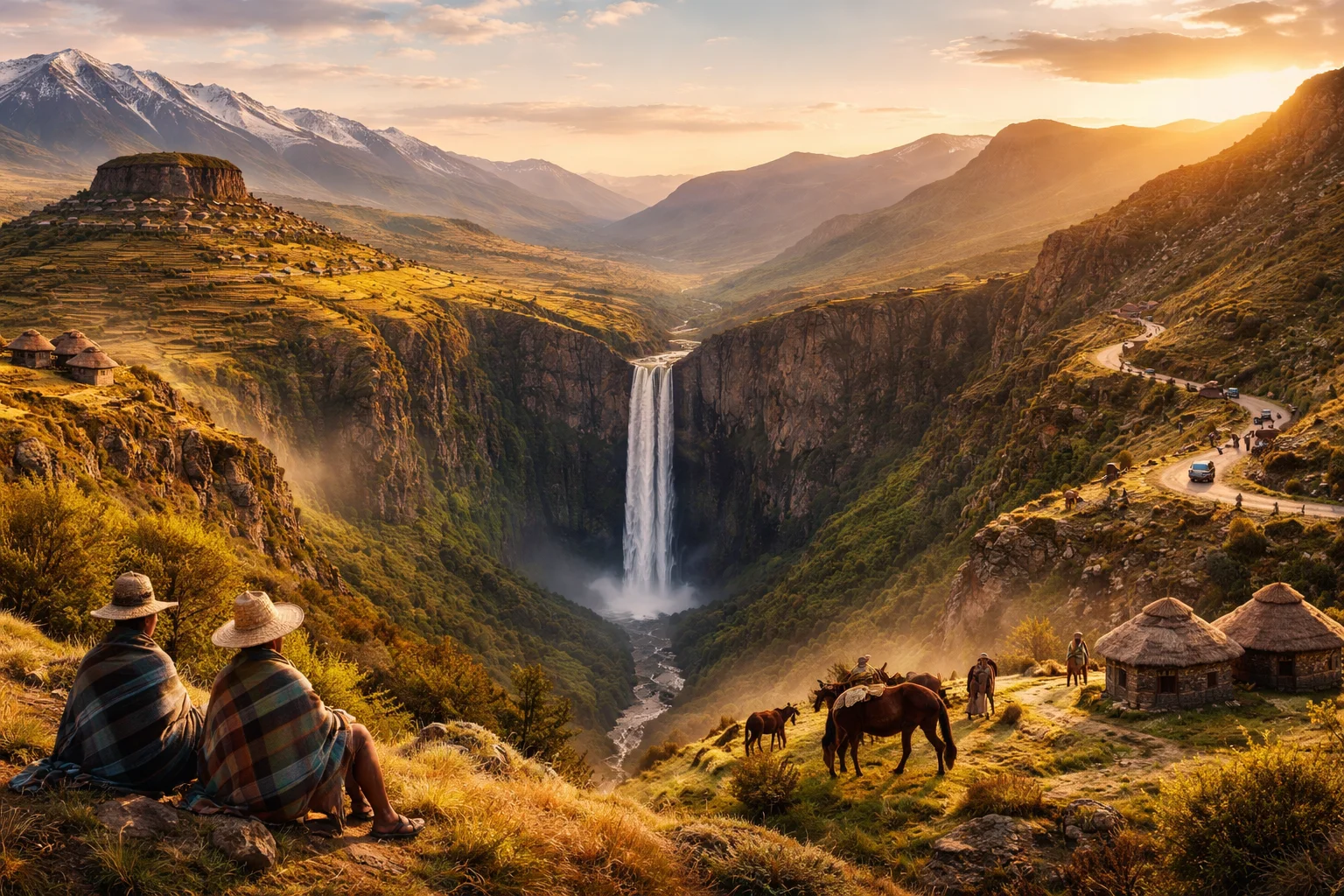
Lesotho overview
Lesotho is a small, highland kingdom entirely surrounded by South Africa, notable for being the only independent state whose territory lies wholly above 1,000 meters in elevation. Located in the Maloti Mountains, Lesotho combines a constitutional monarchy with rugged upland geography that shapes daily life, transport and agriculture. Its capital, Maseru, serves as the political and economic hub while mountain passes and highland plateaus define settlement patterns. The country’s significance stems from its water resources, distinctive Basotho culture, and the way altitude governs climate and infrastructure.
Common Geography Questions About Lesotho
Where Lesotho is located
Lesotho sits in southern Africa as an enclave within South Africa, roughly between 28° and 31° south latitude and 27° and 29° east longitude. It shares a single international border—their entire frontier—with South Africa; no other sovereign state touches Lesotho. The Caledon (Mohokare) River and the Senqu (Orange) River system drain much of the territory, with headwaters rising inside the country and flowing outward into South Africa. This position—an elevated landlocked island of sovereignty surrounded by one country—directly shapes cross-border labor flows and water agreements.
Geography and landscape of Lesotho
The terrain is dominated by the Maloti (Maluti) and Drakensberg ranges; Lesotho’s highest point, Thabana Ntlenyana (about 3,482 m), is the tallest peak in southern Africa. Most of the country is high plateau and steep escarpment, giving Lesotho the world’s highest lowest point—its lowest altitude is still roughly 1,400 meters above sea level. Rivers such as the Senqu originate in its mountains, and glacial-like valleys collect snowmelt that feeds dams. Regional contrasts are sharp: northern highlands are alpine and sparsely populated, central plateaus are pastoral, and southern foothills contain pockets of arable terraces and river gorges.
Lesotho culture and society
Lesotho’s people are overwhelmingly Basotho, speaking Sesotho as the national language alongside English in official contexts. Cultural markers include the Basotho blanket and the conical mokorotlo hat, worn as both practical cold-weather gear and identity symbols; these items function in funerary, initiation and celebratory rituals unique to Lesotho’s highland society. Christianity is the dominant religion, often blended with local rites. Societal patterns reflect highland pastoralism, with the Basotho pony adapted to steep slopes and a legacy of initiation schools and chieftaincy that continue to shape social organization in ways not typical of lowland neighbours.
History of Lesotho
Lesotho’s modern polity grew from the 19th-century consolidation under Moshoeshoe I, who united disparate Sotho-speaking groups and used diplomacy and fortified hill settlements to resist encroaching Zulu and Boer forces. Seeking protection from Boer annexation, Moshoeshoe placed his realm under British protectorate status; the territory became Basutoland and later gained full independence as the Kingdom of Lesotho. Those choices—hilltop fortress diplomacy and protectorate status—preserved a distinct mountainous state when much of the region was absorbed by colonial boundaries, giving Lesotho a continuity of monarchy that anchors national identity.
Lesotho economy and government
Lesotho is a constitutional monarchy with a parliamentary system: a sovereign king functions as a ceremonial head of state while executive power is exercised through an elected prime minister and cabinet; the legislature includes a mix of elected representatives and a Senate that preserves traditional chiefs’ roles. The economy leans on a few pillars: water exports and hydropower from the Lesotho Highlands Water Project, apparel manufacturing for export markets, remittances from Basotho working in South African mines, and subsistence highland agriculture. The currency is the loti, which is pegged to and circulates alongside the South African rand—an arrangement that influences trade and monetary policy.
Regions and major cities of Lesotho
Administratively Lesotho is divided into ten districts, including Maseru, Leribe, Mafeteng, Thaba-Tseka and Mokhotlong, each centered on district councils and towns. Maseru, the capital, sits on the Caledon River at the western border and functions as the central node for government and cross-border commerce. Other notable urban centres are Teyateyaneng (administrative market town), Mafeteng (agricultural hub) and Mokhotlong (gateway to highland passes). Distinct geographical subregions—lowland foothills, central Maloti plateau and highland peaks—create sharply different settlement densities and transport challenges within the national footprint.
Distinctive characteristics of Lesotho
Lesotho is widely associated with a handful of concrete features: the Basotho blanket and mokorotlo hat as internationally recognized cultural emblems; the Lesotho Highlands Water Project with its Katse and Mohale dams that export water to South Africa; and its status as one of the few sovereign countries entirely surrounded by a single other state. The presence of Afriski, one of southern Africa’s only ski resorts, and the hardiness of the Basotho pony adapted to steep slopes are further specific traits. These elements—cultural dress, engineered highland water transfer, and extreme altitude for a national territory—define Lesotho’s global profile.