Kiribati Guide
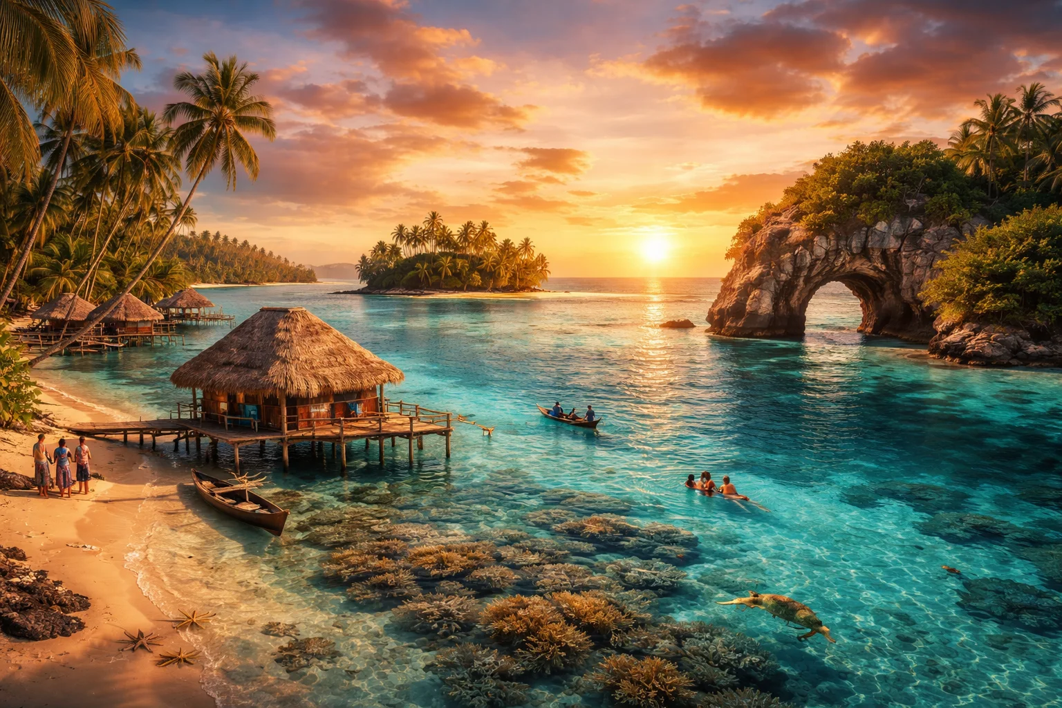
Kiribati overview
Kiribati is a sovereign Pacific island nation made up of 33 atolls and reef islands plus one raised coral island (Banaba). Straddling the equator and the 180th meridian, Kiribati occupies a scattered maritime territory whose land area is tiny compared with its vast exclusive economic zone. Its significance lies in ocean stewardship, distinctive atoll-based societies, and geopolitical quirks such as being the only country located in all four hemispheres. For readers seeking concise facts about geography, culture, history and economy, Kiribati offers a case study in climate vulnerability, traditional seafaring societies, and modern dependence on tuna licensing and remittances.
Common Geography Questions About Kiribati
Where Kiribati is located
Kiribati sits in the central Pacific Ocean; its island groups are the Gilbert, Phoenix and Line Islands, spanning roughly 2.4 million square kilometres of ocean. It is not continental: Kiribati’s nearest sovereign neighbours include Kiribati-adjacent maritime neighbors such as Fiji to the south-west, Tuvalu to the south-west of the Gilbert group, and the Cook Islands and U.S. territories several thousand kilometres to the east. The nation literally crosses the equator and the 180th meridian, which placed parts of Kiribati into the UTC+14 time zone after an international date line shift—an arrangement unique among states and central to its geographic identity.
Geography and landscape of Kiribati
Kiribati’s terrain is overwhelmingly low-lying coral atoll: narrow reef rims, central lagoon basins, and sandy motus dominate, with Banaba as the single raised phosphate island reaching about 81 metres elevation. There are no mountain ranges or rivers; instead freshwater exists as precarious underground lenses above porous coral. Climate zones are equatorial to tropical; localized rainfall patterns create stark contrasts between windward and leeward islets. The Phoenix Islands include submerged seamounts and the Phoenix Islands Protected Area (PIPA), a large marine ecosystem notable for intact coral assemblages—an ecological feature few nations can claim within their maritime boundaries.
Kiribati culture and society
Kiribati’s principal language is Gilbertese (I-Kiribati), alongside English used administratively; literacy and bilingualism patterns reflect colonial and missionary histories. Social life centers on the maneaba, a communal meeting house whose seating and speaking order encode clan relations—this institutionalized communal forum is a cultural structure uncommon outside parts of Micronesia. Traditional navigation, island-based dances, and communal land tenure persist, while Christianity, introduced in the 19th century, blends with local practice. Demographically, Kiribati has high rates of internal urban concentration—South Tarawa’s atoll draws people from outer islands—producing social strains distinct from continental urbanization.
History of Kiribati
Kiribati’s islands were settled by Austronesian seafarers millennia ago and later became strategic waypoints in Pacific voyaging. European contact accelerated in the 18th and 19th centuries; Britain consolidated the Gilbert and Ellice Islands Colony in the late 19th century. World War II’s Pacific battles—most notably the 1943 Battle of Tarawa—left imprints on infrastructure and demography. Postwar governance led to decolonization: independence came in 1979, and the Ellice Islands separated to form Tuvalu in 1978. Banaba’s 20th-century phosphate mining and the consequent relocation of many inhabitants to Rabi Island (Fiji) remain a distinctive and contentious chapter in the nation’s history.
Kiribati economy and government
Kiribati is a unitary republic whose constitution establishes the Maneaba ni Maungatabu (parliament) and a president (Beretitenti) elected from nominees put forward by parliament; the president serves as head of state and government. Economically, the country relies heavily on marine resources: tuna license fees and foreign fishing access are primary export-related revenues, supplemented by copra, seaweed farming, remittances and development aid. The currency in use is the Australian dollar (AUD). Limited arable land and fragile freshwater lenses constrain agriculture, while long-term sea-level risk shapes policy debates about adaptation, migration and economic resilience.
Regions and major cities of Kiribati
Administratively Kiribati is organized around three island groups—Gilbert, Phoenix and Line—that function as the main regional divisions rather than provinces. The capital is South Tarawa, a continuous urban stretch across several islets where national government, commerce and services concentrate on an atoll rim. Other major population centres include Betio (a port and commercial hub on Tarawa) and Kiritimati (Christmas Island) in the Line group, known for its large lagoons and role in nuclear-era history. Geographic variation—densely settled lagoon rims versus sparsely populated raised islands like Banaba—shapes local governance and service delivery strategies.
Distinctive characteristics of Kiribati
Kiribati is widely associated with a few concrete global identifiers: it is the only sovereign state spanning all four hemispheres and it famously moved the international date line in 1995 to align its territory on the same calendar day. The Phoenix Islands Protected Area (PIPA) places Kiribati on the conservation map as steward of one of the world’s largest marine protected zones and a UNESCO-recognized site. Other distinctive links include the Banaba diaspora to Rabi Island (Fiji), the .ki internet country code, and the country’s role in international negotiations on sea-level rise and high-seas fisheries management.