Kenya Guide
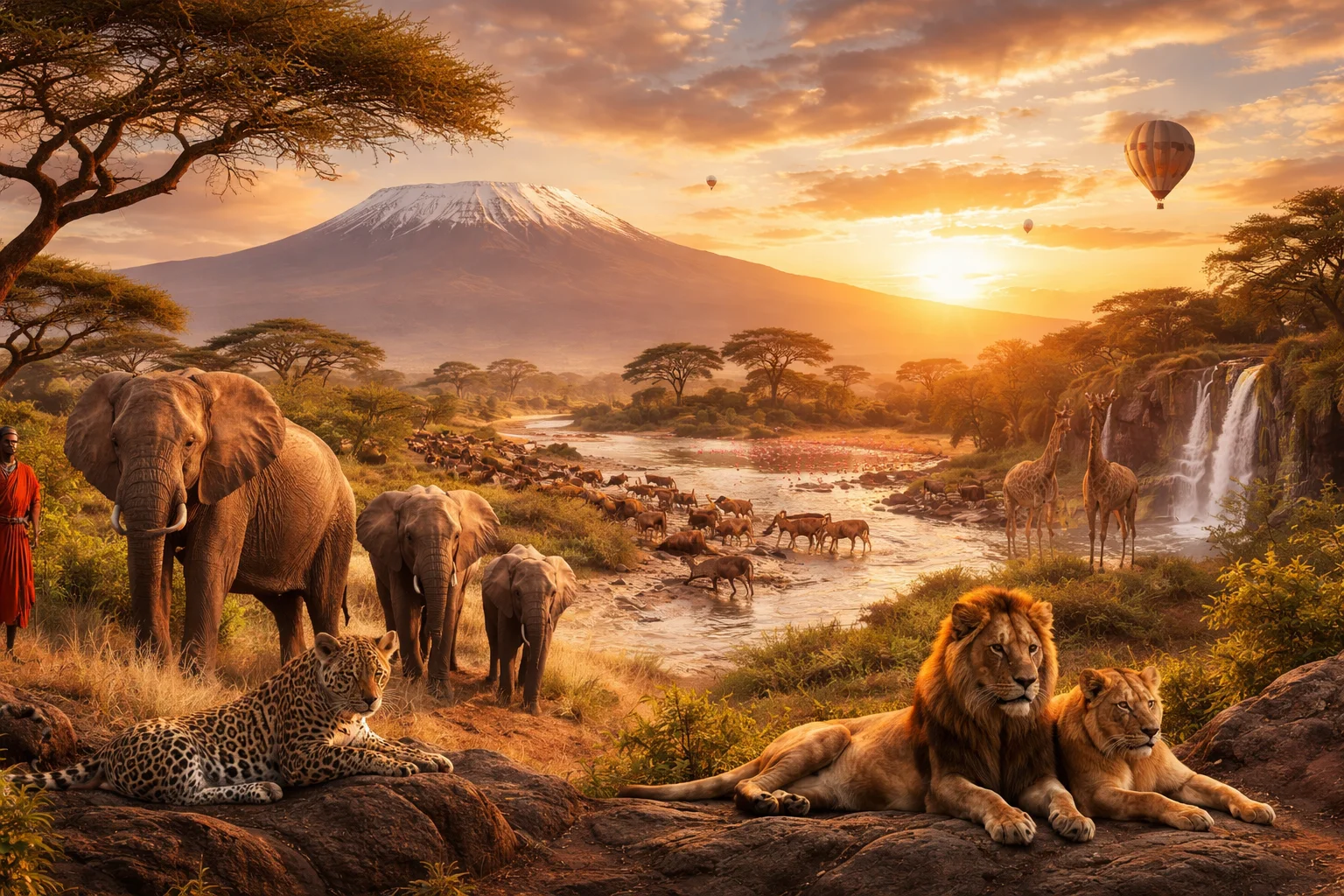
Kenya overview
Kenya is an East African country straddling the equator with a coastline on the Indian Ocean. Its significance lies in a unique mix of highland agriculture, Rift Valley geology and internationally visible wildlife reserves; these elements combine to shape Kenya’s economy and international profile. Nairobi serves as an administrative and commercial hub distinct from the coastal Swahili city-states that shaped its maritime history. The country’s legal and administrative frameworks, cultural pluralism, and ecological zones give Kenya a strategic role in regional transport, conservation and diplomatic networks.
Common Geography Questions About Kenya
Where Kenya is located
Kenya sits in eastern Africa, roughly between latitudes 5°N and 5°S and longitudes 34°E and 42°E. It borders Somalia to the east, Ethiopia to the north, South Sudan and Uganda to the northwest and west, and Tanzania to the south; the Indian Ocean lies to the southeast. Inland water boundaries include a shared shoreline on Lake Victoria to the west and a large northern shoreline on Lake Turkana. The equator cuts across Kenya, placing parts of the country in both hemispheres and defining climatic and daylight contrasts unique to Kenya’s geography.
Geography and landscape of Kenya
Kenya’s landscape is defined by the north–south Great Rift Valley that divides highlands from lower plains, and by Mount Kenya, a glaciated volcanic massif that is Africa’s second-highest peak. The Tana River, Kenya’s longest, drains highland rainfall into the Indian Ocean, while the saline and silty basins of Lake Turkana and other Rift lakes anchor arid northern ecosystems. Coastal mangroves and fringing coral reefs contrast with montane forests on the Aberdares and drier bushlands of the north. These sharply varied zones produce Kenya’s distinctive mosaics of agriculture, pastoralism and protected wildlife areas.
Kenya culture and society
Kenya’s official languages are English and Kiswahili, but the social landscape includes more than 40 ethnolinguistic communities such as the Kikuyu, Luo, Luhya, Kalenjin and Maasai. Urban Nairobi is a linguistic lab: Sheng, a hybrid slang blending Swahili, English and local languages, originated there and spreads through media. Religious life is predominantly Christian with sizable Muslim communities along the coast; syncretic practices persist in rural rites. Communal mobilization through harambee (collective self-help) and the ceremonial shúkà of Maasai dress are cultural markers that link identity, land use and community governance in Kenya.
History of Kenya
Kenya’s deep past is etched in the Turkana Basin fossil record; later millennia saw Bantu agricultural expansion inland and an Indian Ocean trading culture on the Swahili coast, influenced by Arab and Persian traders. European contact accelerated with Portuguese navigation and later British administration as the East Africa Protectorate. The twentieth-century anticolonial Mau Mau struggle and subsequent independence in 1963 reshaped land and political power. Constitutional reform in 2010 decentralized authority into new county governments, altering Kenya’s balance between central control and regional administration.
Kenya economy and government
Kenya is a presidential republic with a bicameral parliament and a devolved system of 47 counties that manage local services and development budgets. The national currency is the Kenyan shilling. Economically, Kenya blends export agriculture (notably tea, coffee and cut flowers), tourism tied to wildlife and coastlines, manufacturing and a dynamic information-communications sector that supports fintech firms and digital services. The Port of Mombasa, Nairobi’s logistics links and a regional securities exchange position the country as an East African commercial hub, while public institutions oversee competition between national and county authorities.
Regions and major cities of Kenya
Administrative life is organized into 47 counties that replaced the older provincial map; the capital Nairobi functions as a county and the country’s principal business center. Mombasa is the chief port and the historical heart of Swahili commerce and coastal culture. Kisumu sits on Lake Victoria and anchors western lake-region trade and fishing. Eldoret and Nakuru serve as inland economic and agricultural centers with distinct cultural hinterlands. Regions—coast, central highlands, Rift Valley, Lake Victoria basin and the arid north—have their own land use, livelihoods and political priorities within Kenya’s national framework.
Distinctive characteristics of Kenya
Kenya is widely associated with specific global achievements: elite long-distance running originating from the Rift Valley highlands, the pioneering of mobile-money ecosystems (notably a payment platform first launched there), and internationally influential conservation models that combine national parks with community-owned conservancies. Nairobi hosts major international environmental agencies, linking Kenya to global policy on biodiversity. Kenyan tea and floriculture exports supply European markets, while the country’s equatorial location and Mount Kenya’s glaciated peak make it a recurring reference point in physical geography and ecological research.
Places in Kenya
Amboseli National Park
Amboseli National Park is a national park in southern Kenya, near the boundary with Tanzania and north of Mount Kilimanjaro. Its geography is defined by a low-lying wetland and savanna basin, with permanent swamps and open plains within the administrative area commonly associated with Kajiado County. The park is managed through Kenya's national conservation structures in collaboration with local communities and long-term research programs.
Diani Beach
Diani Beach is a coastal beach on the Indian Ocean coast of Kenya. Diani Beach lies on the mainland south of Mombasa and is centered near coordinates approximately 4.32°S, 39.57°E, forming a coral-fringed shoreline that is formally associated with the Diani-Chale marine conservation area. The shoreline at Diani Beach is notable for its long band of white carbonate sand backed by coastal vegetation and for its role as a focal coastal landscape within Kwale County governance structures.
Hell's Gate
Hell's Gate is a national park and volcanic gorge complex in Kenya's Great Rift Valley, characterized by steep cliffs and geothermal activity. The site occupies about 68 square kilometres, a formally measured area defined by park boundaries. It is significant for geological research, regional biodiversity, and its visible rift-topography that illustrates continental extension processes. The combination of exposed volcanic plugs, clefts, and biological habitats gives Hell's Gate scientific and landscape importance.
Karen
Karen is a residential district in Kenya located within Nairobi City County. The district sits on Nairobi's southern periphery and is historically significant for having developed from former colonial coffee estates and for its association with the Danish author Karen Blixen. Its built environment features low-density plots and preserved colonial farmhouses. The Karen Blixen Museum occupies the author's former farmhouse and serves as a formal cultural landmark within the district.
Lake Nakuru
Lake Nakuru is a shallow alkaline soda lake in the Kenyan section of the East African Rift, notable for its high bird diversity and conservation value. The lake lies within Lake Nakuru National Park, a formally protected area that covers about 188 square kilometres. Lake Nakuru supports dense waterbird populations and has been the subject of ecological research into saline-lake chemistry and avian feeding ecology, making it a site of both national and scientific significance.
Lake Turkana
Lake Turkana is a large alkaline lake in northern Kenya, occupying approximately 6,405 square kilometres and stretching roughly 290 kilometres along a north–south axis. It is the world’s largest permanent desert lake and Kenya’s largest inland water body, significant for its unique aquatic ecosystems and an extraordinary palaeoanthropological record. The lake’s high salinity and alkaline chemistry create distinctive habitats that have influenced regional biodiversity and long-term human occupation.
Lamu Old Town
Lamu Old Town is a historic Swahili settlement on Lamu Island off the northeastern coast of Kenya. It is an urban centre notable for the preservation of traditional Swahili social structures, built fabric, and maritime connections. Lamu Old Town is formally recognized as a UNESCO World Heritage Site for its exceptional testimony to Swahili civilization. The compact core comprises narrow streets, mosque complexes, and coral-stone houses that demonstrate long-term urban continuity and cultural resilience.
Loita Hills
Loita Hills is a hilly highland area in southwestern Kenya that functions as a distinct cultural and ecological landscape. It occupies upland terrain of ridges, valleys and forest patches important for local resource use and biodiversity. The landscape contains measurable blocks of indigenous forest and upland grassland and supports perennial springs and streams. The hills lie mainly in Narok County and form a recognizable highland island within the surrounding lowland plains.
Maasai Mara
Maasai Mara is a large wildlife area in southwestern Kenya that combines protected reserve lands and community-managed conservancies. It lies near the Kenya–Tanzania border and forms the northern terminus of the Serengeti ecosystem. The Maasai Mara National Reserve covers approximately 1,510 square kilometers, a formally measured boundary used for management and research. Its significance derives from dense savanna wildlife populations, important ecological processes, and longstanding cultural associations with the Maasai people.
Menengai Crater
Menengai Crater is a large volcanic caldera in Kenya, formed by collapse of a shield volcano and notable for its preserved rim. It lies near the city of Nakuru within the Rift Valley and serves as a prominent geological landmark, ecological block, and geothermal resource. The caldera measures approximately 12 kilometres across, making it one of the most extensive intact calderas on the East African Rift and a measurable reference for regional volcanic studies.
Mount Elgon
Mount Elgon is an extinct shield volcano straddling the border between Kenya and Uganda in eastern Africa. It is a broad volcanic massif notable for an extensive summit plateau and deep erosional gullies. The mountain attains a maximum elevation of 4,321 meters at its highest named peak, Wagagai, a formally recorded topographic summit. Mount Elgon is significant for its combination of geological size, intact montane ecosystems, and long-term role as a regional water catchment.
Nairobi
Nairobi is the capital and largest city of Kenya, serving as the country's primary political and economic center. The municipality covers approximately 696 square kilometres and accommodates the population recorded in national statistical reports. The city hosts a concentration of regional diplomatic missions, international agencies, and major commercial exchanges within East Africa. It functions as a focal point for transportation networks and corporate headquarters across the region.
Explore Natural Landmarks in Kenya
Browse islands and mountains connected with Kenya to keep exploring related geography clusters.