Kazakhstan Guide
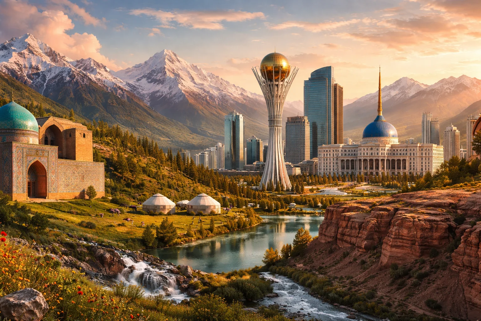
Kazakhstan overview
Kazakhstan is the world’s largest landlocked country and a transcontinental state straddling Central Asia and a small part of Eastern Europe. Located on the Eurasian steppe, Kazakhstan combines vast flatlands with mountain ranges, a history of nomadic statecraft, and a modern economy built on hydrocarbons and minerals. The country’s geopolitical weight derives from its size, energy reserves, and role as a transport corridor across the Caspian and Central Asian interiors. Kazakhstan’s identity mixes Turkic language and nomadic traditions with Soviet-era institutions and a contemporary emphasis on regional connectivity.
Common Geography Questions About Kazakhstan
Where Kazakhstan is located
Kazakhstan sits in Central Asia with a small portion west of the Ural River that places part of Kazakhstan in Europe; its territorial extents lie roughly between 42° and 55° north latitude and 46° to 88° east longitude. It borders Russia to the north and northwest, China to the east, Kyrgyzstan, Uzbekistan and Turkmenistan to the south and southwest, and has a western coastline on the Caspian Sea—the world’s largest enclosed inland water body. The nation’s transcontinental position gives Kazakhstan a strategic place at the junction of Eurasian land routes and Caspian maritime access.
Geography and landscape of Kazakhstan
Kazakhstan’s terrain shifts from the Altai and Tian Shan mountain ranges in the east and southeast to the immense Kazakh Steppe that dominates the center and north. Major rivers include the Irtysh, which flows northward into Siberia, and the Syr Darya, which drains toward Central Asian basins. Western Kazakhstan contains the Caspian Depression and the Ustyurt Plateau with karst features and low basins; northern plains support chernozem soils. The country’s climate is sharply continental—hot summers and bitter winters—with semi-arid deserts in Mangystau and alpine glaciation in high Tian Shan valleys, a combination uncommon for a single state.
Kazakhstan culture and society
Kazakh and Russian are the principal languages, with Kazakh a Turkic language rooted in nomadic vocabulary and oral traditions while Russian remains widespread in administration and urban life. Social customs recall pastoral life: yurt construction, the dombra instrument and epic oral poems, horse-centered sports such as kokpar, and beverages like kumis (fermented mare’s milk). The population is multiethnic, historically shaped by voluntary migration and Soviet-era relocations that created sizable Russian, Uzbek, Ukrainian and other minorities. Kazakhstan’s cultural distinctiveness lies in the survival and revival of nomadic practices alongside Soviet-derived urban culture.
History of Kazakhstan
The territories of modern Kazakhstan were a crossroads for Silk Road trade and nomadic polities from early medieval confederations through the later Kazakh Khanate, which formed distinct identities in the fifteenth–sixteenth centuries. Russian imperial expansion in the nineteenth century and Soviet consolidation in the twentieth century transformed settlement patterns, brought railways and the Virgin Lands agricultural campaign, and made the region central to Soviet industry. The Semipalatinsk nuclear test site left a distinct legacy of environmental and social trauma; the late twentieth-century dissolution of the Soviet Union produced Kazakhstan’s independent statehood and a reorientation toward Eurasian diplomacy and economic integration.
Kazakhstan economy and government
Kazakhstan is a unitary state organized around a strong presidential system and a bicameral legislature; national policy has emphasized state-led economic development and managed political stability. The economy rests on hydrocarbons from onshore and Caspian offshore fields, extensive mining (including being a global leader in uranium production), and agricultural output from northern grainlands. The national currency is the tenge. State-owned enterprises and sovereign-holding entities play an outsized role in strategic sectors and export infrastructure, shaping a mixed economy that pairs global commodity exposure with centralized economic planning.
Regions and major cities of Kazakhstan
Administratively, Kazakhstan is divided into oblasts (regions) plus several cities with special status; regional governments manage resource-rich districts like Mangystau and industrial basins in Karaganda. The capital, Astana, is a purposefully relocated administrative center established on the central steppe and notable for planned urban design. Almaty remains the country’s largest city and cultural-financial hub at the foot of the Trans-Ili Alatau. Shymkent in the south serves as a commercial and manufacturing nucleus with long-standing Silk Road connections, reflecting Kazakhstan’s geographic diversity across regions.
Distinctive characteristics of Kazakhstan
Kazakhstan is uniquely associated with the Baikonur Cosmodrome—leased to Russia yet sited on Kazakh territory—a legacy of Soviet space activity that continues to mark its global profile in spaceflight logistics. The country’s Eurasian position and extensive steppe underpin recognizable cultural exports such as the dombra repertoire and horse-game traditions. Kazakhstan’s energy and mineral output, especially in oil and uranium, link it to global commodity markets, while past actions on nuclear testing and regional diplomacy have positioned it in international disarmament and transcontinental transit conversations.
Places in Kazakhstan
Al-Farabi Kazakh National University
Al-Farabi Kazakh National University is a public national university in Kazakhstan, located in the city of Almaty. The institution functions as a major center for higher education and research in Kazakhstan and holds formal national university status. Founded as a state university during the Soviet period, Al-Farabi Kazakh National University combines undergraduate and graduate education, specialist training, and organized research institutes within a consolidated campus footprint. The university maintains a large academic staff and a network of faculties and research centers that define its measurable institutional role in Kazakhstan’s higher-education system.
Almaty Zoo
Almaty Zoo is a municipal zoological garden in Kazakhstan located in the city of Almaty. It functions as the city’s principal institutional zoo and is formally organized as a municipal zoological institution responsible for maintaining curated enclosures, veterinary care, and scientific records. The site contains purpose-built mammal enclosures, aviaries, and reptile houses arranged as a managed landscape under municipal administration. This institutional designation defines its role within Kazakhstan’s network of public collections.
Altyn-Emel National Park
Altyn-Emel National Park is a state-designated protected area in southeastern Kazakhstan that conserves diverse desert, steppe, and mountain landscapes. The park covers roughly 4,600 square kilometers and contains one of Eurasia’s largest sand dunes, the Sarykum dune, which reaches about 150 meters in height. Altyn-Emel National Park is significant for its combination of geological variety, archaeological monuments, and conservation programs for rare species.
Astana
Astana is the capital city of Kazakhstan, situated in the country’s north-central administrative area and acting as its political center. It functions as the seat of national government and hosts approximately 1.2 million residents within its municipal boundaries. Astana's planned skyline and large-scale urban redevelopment symbolize Kazakhstan's post-independence modernization, infrastructure development, and international significance. The metropolitan area covers about 810 square kilometers and occupies a formally defined urban zone on the Ishim floodplain.
Astana (Bayterek Tower)
Astana (Bayterek Tower) is a freestanding monumental tower and observation structure in the capital city of Kazakhstan. It functions as a civic landmark symbolizing national identity and urban renewal. The structure rises to a height of 97 meters and contains a prominent gilded spherical observation pod approximately 22 meters in diameter. Astana (Bayterek Tower) is formally recognized as an architectural focal point in the capital’s central administrative axis and a measurable element of the urban skyline.
Baikonur Cosmodrome
Baikonur Cosmodrome is a large space launch complex in southern Kazakhstan that serves as a primary site for orbital and crewed launches. The facility functions as an integrated manufacturing, testing and launch area supporting multiple launch vehicle families and payload types. The complex covers about 6,717 square kilometres and contains more than twenty launch complexes, vehicle integration halls, tracking facilities and supporting settlements. Its significance derives from sustained high launch tempo and a concentration of launch infrastructure unequalled at most other spaceports.
Big Almaty Lake
Big Almaty Lake is a high-altitude alpine lake and municipal reservoir in Kazakhstan's Trans-Ili Alatau mountains. It lies near the city of Almaty and functions as a prominent natural landmark and urban water source. The lake's surface sits at approximately 2,511 meters above sea level, a formally measured elevation. Its clear, turquoise water and steep mountain basin make it significant for regional hydrology and local identity.
Charyn Canyon
Charyn Canyon is a deep river canyon in southeastern Kazakhstan carved from sedimentary rock by long-term fluvial erosion. It is located in the upper Charyn River valley and is significant for its dramatic sandstone formations, relict vegetation, and exposed stratigraphy. The canyon extends roughly 154 kilometers along the river and reaches depths of up to about 300 meters in places. Geologists, botanists, and conservationists value the site for its well-preserved geological sequences and isolated ecological communities.
Golden Quarter
Golden Quarter is a district of the city of Almaty in Kazakhstan and functions as an urban administrative unit. It is formally designated within Almaty’s municipal structure and is notable for a concentrated pattern of mixed residential and commercial development covering a clearly defined inner‑urban sector. The district’s formal status as a named municipal district provides a measurable administrative identity used in city planning documents and local governance. Golden Quarter appears in municipal maps and planning layers.
Kolsai Lakes
Kolsai Lakes is a chain of three glacially formed alpine lakes in southeastern Kazakhstan that represent a distinct highland freshwater system. The Kolsai Lakes occupy cascade basins linked by streams and waterfalls and lie within montane meadow and conifer zones. The three principal basins form a measurable series of lake basins connected hydrologically, making the site significant for regional hydrology, alpine biodiversity, and geomorphological study.
Medeu Skating Rink
Medeu Skating Rink is an outdoor high-altitude ice sports facility located above Almaty in Kazakhstan, notable for its sporting and cultural role. The rink occupies a purpose-built basin in a mountain valley and functions as a regulated ice surface for speed skating and mass skating. Its altitude is approximately 1,691 metres above sea level, which is a formally measured geographic attribute that distinguishes the site from most urban rinks worldwide.
National Museum of Kazakhstan
National Museum of Kazakhstan is the state museum of Kazakhstan and the principal institutional repository for national cultural heritage. Located in the capital city of Astana, the museum functions as a formal national institution that consolidates major archaeological, ethnographic and contemporary collections under government cultural authority. The National Museum of Kazakhstan occupies a purpose-built multi-level complex designed to present long-term exhibitions, to support conservation activity, and to host state-level exhibitions and research programs.