Jordan Guide
Jordan overview
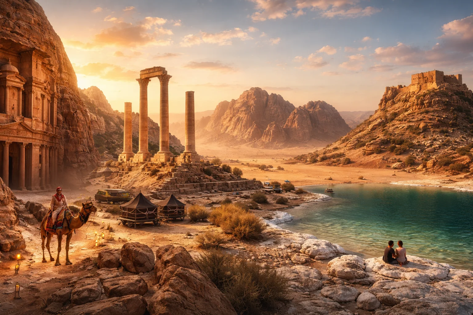
Jordan is a sovereign Arab kingdom in the Levant whose modern borders were shaped in the 20th century under the Hashemite dynasty. Located at the crossroads of the Arabian Peninsula and the eastern Mediterranean, it combines a desert interior with an upland population belt and a single Red Sea port. Jordan’s significance rests on a dense archaeological record, a relatively small but diverse economy anchored in minerals and services, and a political system centered on a hereditary monarchy. The country is notable for Petra, rock-cut monumental architecture unique to the Nabataean civilization.
Common Geography Questions About Jordan
Where Jordan is located
Jordan sits in Western Asia on the eastern flank of the Mediterranean basin, roughly between 29° and 33° north latitude and 35° and 39° east longitude. It borders Syria to the north, Iraq to the northeast, Saudi Arabia to the east and south, and Israel and the Palestinian West Bank to the west. A narrow coastal frontage on the Gulf of Aqaba gives Jordan access to the Red Sea; the Dead Sea forms part of its western boundary. Much of Jordan lies east of the Jordan River, a defining geographic line that historically separated Transjordan from the West Bank.
Geography and landscape of Jordan
Jordan’s geography is a compact mix of the Jordan Rift Valley, a Mediterranean-influenced highland, and an arid eastern plateau. The Rift valley includes the Dead Sea, the Earth’s lowest exposed land point at about 430 meters below sea level, and the steep escarpments that rise to the highlands where most cities sit. South and east of the highlands lie broad basalt and sandstone deserts, including the protected Wadi Rum with its granite and sandstone monoliths. Perennial rivers are scarce; drainage is dominated by seasonal wadis rather than long waterways, which shapes land use and settlement patterns.
Jordan culture and society
Arabic is Jordan’s official language, spoken in a Levantine dialect; English functions widely in education and business. The population is religiously diverse for the region, dominated by Sunni Islam with a historic Christian minority and small ethnic communities—Circassian, Chechen, and Armenian—that maintain languages and cultural councils. Jordanian social life blends urban and Bedouin customs: tribal networks and the diwaniya (male guest room) still structure local politics and hospitality in many areas. The country’s demography is distinctive for the sizable proportion of citizens of Palestinian origin who play major roles in commerce and public life.
History of Jordan
Jordan’s human record runs from Paleolithic camps to settled Bronze Age kingdoms—Ammon, Moab, and Edom—followed by the Nabataean state that created Petra as a caravan capital. Roman and Byzantine rule left roads and churches; the Umayyad caliphate built desert palaces nearby. Ottoman administration lasted four centuries until the post-World War I Mandate established the Emirate of Transjordan under the Hashemites in 1921; independence followed in 1946. The formation of the modern kingdom, its 20th-century territorial adjustments, and the preservation of archaeological heritage have made Jordan a focal point for regional history and scholarship.
Jordan economy and government
Jordan is a constitutional monarchy headed by the Hashemite King, with an appointed Senate and an elected House of Representatives; the prime minister is named by the monarch. The economy lacks significant hydrocarbon reserves but features large mineral exports—phosphate and potash—and an important tourism sector built on archaeology. Manufacturing, public services, and a growing information-technology sector supplement income streams. The national currency is the Jordanian dinar. Unique economic elements include the Arab Potash Company extracting minerals from the Dead Sea and the long-standing role of the Port of Aqaba as the country’s sole maritime gateway.
Regions and major cities of Jordan
Administratively Jordan is divided into governorates; population and activity concentrate in the northwest highlands. Amman, the capital, sits on an ancient urban core once called Rabbath Ammon and now forms the country’s political and economic hub. Irbid anchors the fertile northern highlands and a university network; Zarqa is an industrial center east of Amman. Aqaba is Jordan’s only coastal city and a free-trade and port zone on the Gulf of Aqaba, giving the country maritime access that few neighboring interior states possess. Rural governorates include Karak and Ma’an with distinctive local cultures.
Distinctive characteristics of Jordan
Jordan is globally associated with Petra, the Nabataean rock-cut city that defines archaeological tourism in the region, and with a state-managed archaeology sector that coordinates extensive conservation work. The country’s stretch of the Dead Sea has scientific and commercial significance for mineral extraction and research into hypersaline environments. Jordan’s Hashemite custodianship traditions regarding certain Jerusalem holy sites and its 1994 peace treaty with Israel contribute to a diplomatic profile disproportionate to its size. Academically, Jordan is a primary field area for Levantine archaeology and desert ecology studies.
Places in Jordan
Ajloun Castle
Ajloun Castle is a medieval Muslim fortress in the Ajloun highlands of northwestern Jordan, notable for its historical and architectural importance. The site lies at approximately 32.334°N, 35.751°E on a prominent hilltop overlooking the western Jordan Valley. Its surviving stone fabric, defensive layout, and water-storage systems make it a measurable example of regional fortification engineering. Scholars reference Ajloun Castle in studies of medieval military architecture and landscape control for its well-preserved structural elements.
Amman Citadel
Amman Citadel is an archaeological site on the summit of Jabal al-Qal'a in central Amman, Jordan. It preserves multi-period ruins spanning prehistoric occupation through Roman, Byzantine and Umayyad phases, including the Roman Temple of Hercules. The Amman Citadel is one of Amman's seven historic hills and anchors the city's archaeological significance. Archaeological excavations have uncovered stratified urban layers that provide a measurable record of long-term habitation.
Aqaba
Aqaba is a coastal city in southern Jordan and the country's only seaport on the Red Sea. It functions as Jordan's sole maritime outlet, with port and industrial zones supporting national import and export traffic. The position of Aqaba at the northern end of the Red Sea gives it strategic economic and geographic significance for regional trade and connectivity. Municipal administration covers urban, industrial, and port areas under national governance.
Dana Biosphere Reserve
Dana Biosphere Reserve is a protected nature reserve and designated biosphere area in south-central Jordan. It occupies approximately 308 square kilometres across a complex of cliffs, wadis and plateaus. The reserve is significant for its wide ecological gradients and the intersection of multiple vegetation zones. Dana provides measurable examples of landscape-scale biodiversity and long-term human land use that together support scientific study and conservation planning in the region.
Dead Sea
The Dead Sea is located in western Jordan, in the Jordan Rift Valley along Jordan's western margin. A hypersaline terminal lake, its water surface lies approximately 430 metres below sea level, making it Earth's lowest exposed land surface. Its exceptional salinity, concentrated evaporite minerals, and specialized microbial communities make it important for scientific study and mineral extraction.
Dead Sea (Jordan side)
Dead Sea (Jordan side) is the portion of the Dead Sea basin that lies along Jordan’s western shoreline, defined by its hypersaline water and deep rift-basin topography. It occupies a section of the Jordan Rift Valley and holds the Earth's lowest exposed land elevation, approximately 430 meters below mean sea level. The Jordanian shore is significant for its mineral extraction infrastructure, distinctive salt formations, and its long-standing role in regional natural history and resource use.
Jabal Amman
Jabal Amman is an urban district in Jordan, located within the central municipal area of Amman. The district is one of Amman’s original seven hills and functions as a defined neighborhood inside the Greater Amman Municipality, giving it formal municipal status. Jabal Amman is noted for a measurable concentration of early stone villa stock and a named commercial axis, which together illustrate its role in the city’s civic and residential evolution.
Jerash Ruins
Jerash Ruins is the archaeological ensemble of the ancient city of Gerasa, an exceptionally preserved Hellenistic and Roman urban complex in northern Jordan. The site contains extensive civic architecture, including two large stone theatres and monumental colonnades that illustrate provincial Roman urbanism. Jerash Ruins is significant as a coherent archaeological record of municipal planning and public architecture, with an excavated core that preserves the principal civic spaces within the modern urban footprint of Jerash.
Jordan Museum
Jordan Museum is the national museum of Jordan, located in the country’s capital city and housing principal archaeological holdings. It functions as the principal state repository for Jordanian antiquities and displays material spanning prehistory through the Islamic periods. The museum contains flagship items such as the Ain Ghazal plaster statues and fragments of the Dead Sea Scrolls, and it occupies a purpose-built facility serving exhibition, conservation, and research roles for the nation’s cultural heritage.
Madaba Map
Madaba Map is a sixth-century mosaic floor panel that depicts towns and landscape features of the southern Levant. It is located in the nave of the Greek Orthodox Church of Saint George in Madaba, Jordan, and serves as a primary source for Byzantine-era geography. The mosaic includes about 150 toponymic inscriptions identifying settlements and landmarks. Its significance derives from being the oldest surviving cartographic depiction of the Holy Land and a benchmark for studies in historical cartography and regional archaeology.
Mount Nebo
Mount Nebo is a limestone ridge and religiously significant hill in western Jordan, traditionally identified as the place where Moses viewed the Promised Land. It lies within Madaba Governorate and reaches approximately 817 meters above sea level. Mount Nebo is notable for its archaeological remains, including early Christian mosaics, and for its role in Jewish, Christian, and Islamic traditions. The site combines tangible ruins with enduring symbolic importance across multiple faith communities.
Petra
Petra is an archaeological and historical site in southern Jordan, famed for rock-cut architecture and ancient water-management systems. The site occupies a sandstone basin and contains monumental façades, royal tombs, temples, and urban remains that reflect extensive trade connections. The Petra archaeological area covers approximately 264 square kilometers of protected landscape, and its significance derives from uniquely preserved rock-carved structures and a substantial archaeological record informing Nabataean and Near Eastern studies.