Iceland Geography, Volcanoes, Glaciers & Location
Short answer
Quick answer about Iceland
Iceland is an island country in the North Atlantic Ocean.
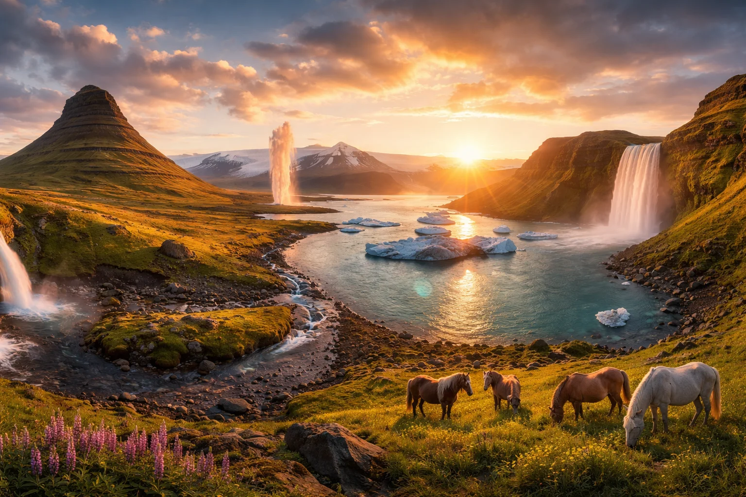
Its geography is shaped by volcanoes, glaciers, lava fields, highlands, waterfalls, fjords, and a rugged coastline.
Location: North Atlantic Ocean
Capital: Reykjavik
Type: Island country
Landscape: Volcanoes, glaciers, lava fields, highlands, and fjords
Tectonic setting: Mid-Atlantic Ridge region
Iceland overview
Iceland is an island nation in the North Atlantic defined by its volcanic origin, strong Norse heritage, and a small, highly urbanized population concentrated around one capital. Straddling the Mid-Atlantic Ridge, Iceland combines active volcanism, large glaciers and extensive geothermal resources that heat towns directly. The country’s significance lies in its outsized cultural footprint—medieval sagas and a living Old Norse-derived language—and in technical niches such as geothermal engineering and population genetics research. This overview highlights geography, culture, history, economy and major cities with Iceland-specific detail.
Common Geography Questions About Iceland
Where Iceland is located
Iceland lies in the North Atlantic Ocean at roughly 63°–67° north latitude, situated on the tectonic Mid-Atlantic Ridge where the Eurasian and North American plates diverge. There are no land borders; the nearest sovereign neighbours are Greenland to the west, the Faroe Islands to the southeast and the British Isles and Norway across the Norwegian Sea. The nation fronts the Greenland Sea and the North Atlantic and uniquely contains a small inhabited island, Grímsey, that lies on the Arctic Circle—putting part of the country within the Arctic climatic margin.
Geography and landscape of Iceland
Iceland’s landscape is a juxtaposition of ice and fire: extensive glaciers such as Vatnajökull sit beside active volcanic systems and recent lava fields. The interior highlands are largely uninhabited basalt plateaus and glacial rivers, while coastal lowlands contain fjords and fertile pockets where agriculture is possible. Rift valleys and visible fissures occur where the mid-ocean ridge surfaces on land—an uncommon above-sea expression of plate divergence. Geothermal areas produce hot springs and steam vents that coexist with glacial meltwater rivers, creating sharp regional contrasts between the south coast, the volcano-dominated interior, and the fjord-indented north and west.
Iceland culture and society
Icelandic is the state language and retains Old Norse grammar and vocabulary to a degree uncommon in modern Europe; speakers can read the medieval sagas with far less adaptation than speakers of other North Germanic languages. Personal naming uses patronymics (and occasionally matronymics) rather than fixed family surnames, and a government Naming Committee approves new given names—details rare globally. The Evangelical Lutheran Church is the declared national church, but secular social customs and high literary engagement—annual book-release traditions and a strong publishing scene relative to population—shape public life. Population density is extremely low outside the capital region.
History of Iceland
Iceland’s settled history begins with Norse and Celtic arrivals in the late ninth and tenth centuries, followed by the establishment of the Althing in 930, which became one of the world’s earliest national assemblies. Conversion to Christianity around the year 1000 was decided at that assembly, illustrating a communal legal culture unusual for the North Atlantic in the medieval period. Later political ties to Norway and Denmark shifted the island’s status until the modern republic was founded in 1944. Volcanic events such as the 1783 Laki eruption had transatlantic climatic and demographic effects, underlining how Icelandic geology has shaped its historical trajectory.
Iceland economy and government
Iceland is a parliamentary republic with a directly elected president in a largely ceremonial role and an executive government led by a prime minister; legislative authority rests with a unicameral parliament. The economy historically depended on cod and other fisheries; in the modern era key sectors include commercial fishing and processing, aluminium smelting that uses abundant renewable electricity, and services such as information technology and tourism. Geothermal and hydroelectric generation supply most domestic energy, enabling district heating systems that heat a large share of housing directly from geothermal sources. The national currency is the Icelandic króna.
Regions and major cities of Iceland
For administrative and statistical purposes Iceland is commonly described by its regions—such as the Capital Region, Westfjords, Eastfjords and the Highlands—each showing distinct settlement patterns. Reykjavík is the capital and by far the largest urban area; Akureyri serves as the main regional centre for the north and Ísafjörður anchors the remote Westfjords. Much of the interior highland region is uninhabited, and a disproportionately large share of the country’s population lives in the southwest around the capital, a settlement pattern tied to access to fisheries, geothermal heat, and transport infrastructure among the major cities.
Distinctive characteristics of Iceland
Iceland is widely associated with a handful of concrete, verifiable features: the medieval Icelandic sagas as foundational national literature; the Althing as an early form of parliamentary assembly; world-leading use of geothermal district heating and near-universal renewable electricity for industry and homes; and volcanic eruptions—most famously Eyjafjallajökull in recent decades—that have produced internationally notable atmospheric effects. The country has also been the site of prominent genetic and biomedical studies based on its small, well-documented population, and Icelandic contemporary music and cultural exports have given the nation disproportionate visibility relative to its size.
Places in Iceland
101 Reykjavik
101 Reykjavik is the central postal district of Reykjavík, Iceland, and the commonly used name for the city’s downtown area. It corresponds to the postal code 101 and contains Reykjavík’s principal administrative, commercial, and cultural institutions. The district includes the national parliament precinct and the main pedestrian shopping street, and it functions as the municipality’s core civic quarter under the governance of the City of Reykjavík.
Blue Lagoon
Blue Lagoon is a geothermal spa and artificial lagoon in southwestern Iceland, defined by its vivid milky-blue waters and silica-rich mud. It is located on the Reykjanes Peninsula and is significant for its unique origin as geothermal power runoff repurposed into a scientific and cultural site. The lagoon’s water averages about 37–39 degrees Celsius and contains measurable concentrations of dissolved silica and minerals. This combination of location, geology, and water chemistry underpins Blue Lagoon’s scientific relevance and broader national recognition.
Godafoss
Godafoss is a waterfall in northern Iceland located on the Skjálfandafljót river. Godafoss is significant as a geomorphological knickpoint where the river drops about 12 metres and spans roughly 30 metres across, forming a crescent-shaped fall. This entry emphasizes location, physical features, and measurable properties, documenting form, composition, and the waterfall’s role in regional fluvial and volcanic systems rather than travel or recreational aspects.
Golden Circle
Golden Circle is a triangular area of southwestern Iceland encompassing three principal natural and historic sites: Þingvellir, Geysir, and Gullfoss. It lies northeast of Reykjavík and denotes a compact grouping of geological and cultural landmarks within the interior volcanic zone. The region is significant for its visible plate tectonics, geothermal phenomena, and concentrated cultural heritage. Researchers and heritage professionals conduct interdisciplinary studies of its geological structures, archaeological remains, and cultural landscapes to inform long-term conservation.
Langjokull Glacier
Langjokull Glacier is an ice cap in Iceland and a major physical feature of the country's highland plateau. It is Iceland's second-largest ice cap, a measurable status used in national glaciological inventories and comparative mapping. The glacier's elongated dome and network of outlet flows define regional drainage patterns and supply meltwater to several Icelandic river systems, giving Langjokull Glacier clear hydrological and geomorphological significance within the island's glacial landscape.
National Museum of Iceland
National Museum of Iceland is Iceland’s national museum for cultural history and material heritage. It is located in Reykjavík and functions as the principal state repository and research centre for archaeological and ethnographic collections, with a permanent exhibition tracing Icelandic society from early settlement to modern times. The institution holds curated collections, conservation facilities, and a mandate to document and interpret objects that define Icelandic cultural identity.
Reykjavík
Reykjavík is the capital and largest city of Iceland, located on the country's southwestern coast. It is Iceland's primary urban center and is within the Capital Region administrative area, on the southern shore of Faxaflói Bay. The municipality contains roughly 130,000 residents and covers about 273 square kilometers. Reykjavík's significance derives from its concentration of national institutions, higher-education facilities, cultural organizations, and economic activity, which together make it the central location for Icelandic governance, research, and arts.
Reynisfjara Beach
Reynisfjara Beach is a black-sand beach on the southern coast of Iceland. The beach lies near the village of Vík and is notable for exposed columnar basalt cliffs that display predominantly hexagonal jointing, a measurable expression of cooling lava flows visible in vertical faces. Reynisfjara Beach also fronts the North Atlantic and is associated with the offshore sea stacks known as Reynisdrangar, which define its seaward horizon.
Seljalandsfoss
Seljalandsfoss is a waterfall in Iceland. It lies at approximately 63.6156°N, 19.9896°W and has a vertical drop of about 60 metres. The waterfall is fed by the Seljalandsá, a river sourced primarily from meltwater of the Eyjafjallajökull glacier, which gives it a largely glacial hydrology. Seljalandsfoss is significant as a geomorphological example of a plunge-type fall that flows over a former coastal cliff, with a pronounced recess behind the falling water.
Skógafoss
Skógafoss is a large waterfall on the Skógá River in southern Iceland that forms a near-vertical curtain of water. It has a drop of about 60 meters and a crest approximately 25 meters wide, making it measurable in height and width. Skógafoss is a prominent natural landmark valued for its geomorphological features, cultural associations, and frequent depiction in photographic and scientific literature. Its scale and setting give it lasting regional significance.
Snaefellsjokull Glacier
Snaefellsjokull Glacier is a glacier-capped stratovolcano in Iceland. It crowns the central high point of the Snæfellsnes peninsula and reaches a summit elevation of approximately 1,446 metres above sea level. The feature combines an ice cap, a volcanic crater, and radial lava formations that make it a measurable geomorphological landmark. Snaefellsjokull Glacier occupies a compact volcanic massif whose ice and rock afford clear evidence of both volcanic construction and glacial modification.
Thingvellir National Park
Thingvellir National Park is a national park in Iceland that preserves a geologically distinctive rift landscape and key cultural heritage. The site contains exposed segments of the boundary between the North American and Eurasian tectonic plates, and it holds formal heritage recognition at the international level. The park includes a freshwater basin and an assembly plain that together form a clearly defined protected area with observable tectonic structures and documented archaeological features.
Explore Natural Landmarks in Iceland
Browse islands and mountains connected with Iceland to keep exploring related geography clusters.
Frequently Asked Questions
What is Iceland's geography like?
Iceland has volcanic landscapes, glaciers, highlands, lava fields, fjords, waterfalls, and rugged coasts.
Where is Iceland located?
Iceland is located in the North Atlantic Ocean.
Why is Iceland volcanic?
Iceland sits near the Mid-Atlantic Ridge and a hotspot, which helps explain its volcanic activity.