Guyana Guide
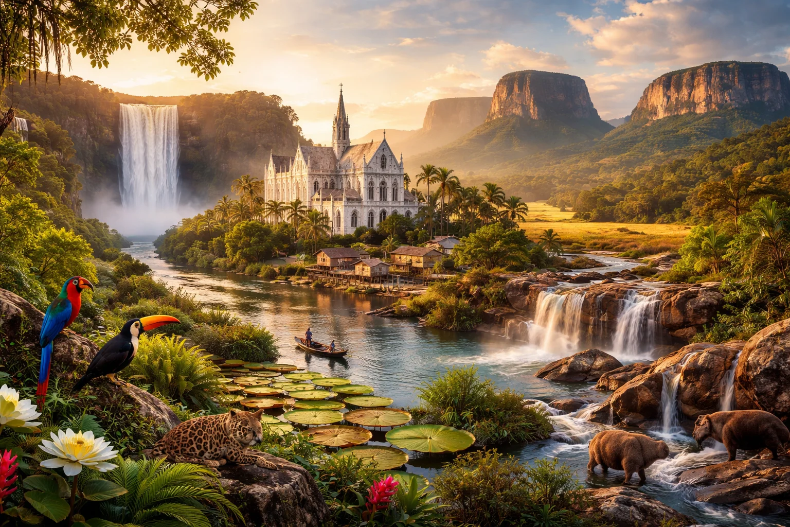
Guyana overview
Guyana is a sovereign state on the northern coast of South America characterized by a narrow, heavily settled Atlantic coastal plain and an immense, sparsely inhabited interior atop the ancient Guiana Shield. The country’s significance derives from its distinct colonial history as British Guiana, its status as the continent’s English-based legal and educational system, and its unusually large intact rainforest compared with its small population. Guyana combines coastal agriculture and riverine transport with interior mining and rainforest conservation, and it is home to unique natural features such as Kaieteur Falls and the Essequibo River basin.
Common Geography Questions About Guyana
Where Guyana is located
Guyana sits on the northeastern edge of South America, roughly between about 1° and 8° north latitude and 56° to 62° west longitude, and is classed with the Guianas subregion. It borders Venezuela to the west, Brazil to the south and southwest, and Suriname to the east; the Atlantic Ocean forms its northern boundary. Notably, a portion of western Guyana — the Essequibo region — is the subject of a long-standing territorial claim by Venezuela, a geopolitical feature that directly shapes the country’s boundaries and diplomatic calculations. The capital, Georgetown, lies on the Atlantic coast at the mouth of the Demerara River.
Geography and landscape of Guyana
Guyana’s geography is structured by the Guiana Shield: a Precambrian geological formation that produces ancient highlands such as the Pakaraima Mountains and tabletop tepuis including Mount Roraima. The coastal plain is a narrow band of alluvial soils and mangrove flats protected by seawalls and drainage canals; most urban settlement and rice production occur here. Inland, the Essequibo River dominates drainage, while the Rupununi savannas in the southwest contrast sharply with northern rainforest. Kaieteur Falls on the Potaro River is a single-drop cataract of exceptional height, and large tracts of primary rainforest make Guyana a global hotspot for intact Neotropical ecosystems.
Guyana culture and society
Guyana’s culture is defined by its multilingual, multiethnic composition: English is the official language and common in education and law, while Guyanese Creole, several Amerindian languages, Hindi dialects, and Urdu-influenced forms survive in daily life. The population includes Afro-Guyanese, Indo-Guyanese, and multiple Indigenous groups, producing religious plurality—Christianity, Hinduism, and Islam are all prominent in public life. Cultural markers unique to Guyana include the national dish pepperpot with Amerindian origins, the annual Mashramani republican celebration, and cricket as a dominant sporting tradition; social patterns center on a densely populated coastal strip contrasted with remote interior communities.
History of Guyana
Guyana’s recorded history moves from pre-Columbian Amerindian societies through European plantation colonization—initially Dutch, later British—and then to a 20th-century path to independence. The abolition of slavery and subsequent importation of indentured laborers from South Asia reshaped demographics and social structures, creating the Indo- and Afro-descended communities that are central today. Independence in 1966 and subsequent nation-building were shaped by ethnic politics, extractive economies (sugar, bauxite) and a persistent territorial dispute over the Essequibo region with Venezuela. Guyana’s history is thus defined by colonial legacies, migration-driven demographics, and the strategic interplay of land, river basins, and resources.
Guyana economy and government
Guyana is a constitutional republic with a unicameral National Assembly and a president who serves as head of state and government; its political institutions derive from a Westminster legacy adapted to a presidential system. Economically, the country has long depended on extractive sectors—bauxite mining, gold, timber, sugar and rice production—with artisanal and commercial mining concentrated in the interior. The currency is the Guyanese dollar. A recent structural shift stems from commercial-scale offshore petroleum discoveries in the 2010s that have reoriented fiscal planning and international investment flows, creating to-scale governance and environmental management challenges uncommon for a country of Guyana’s population size.
Regions and major cities of Guyana
Administratively, Guyana is divided into ten regions (for example, Barima-Waini, Demerara-Mahaica, and Upper Takutu–Upper Essequibo) that group coastal districts and vast interior territories. The capital, Georgetown, is the principal port and administrative center located on the Demerara River; Linden developed as a bauxite and timber town in the interior; New Amsterdam serves as a regional market town and river port near the Berbice River; Lethem functions as a frontier hub on the Brazilian border. These cities concentrate economic and governmental functions on the comparatively narrow coastal plain, while regions such as Potaro-Siparuni remain predominantly rainforest and mining country.
Distinctive characteristics of Guyana
Guyana is globally associated with its role as the most forested sovereign state in the Caribbean–South American transition zone and with the Guiana Shield’s high biodiversity. Kaieteur Falls and the extensive Essequibo river system are internationally recognized physical landmarks. The country is unique in South America for its English-based institutions and Caribbean-style political and cultural alignments—visible in its active participation in CARICOM and the Commonwealth. Guyana’s mix of Amerindian heritage, Indo-Caribbean traditions, and large intact rainforest areas makes it a distinctive reference point for studies of postcolonial demography, tropical conservation, and resource-led development.