Guinea-Bissau Geography: Location, Islands, Coast & Capital
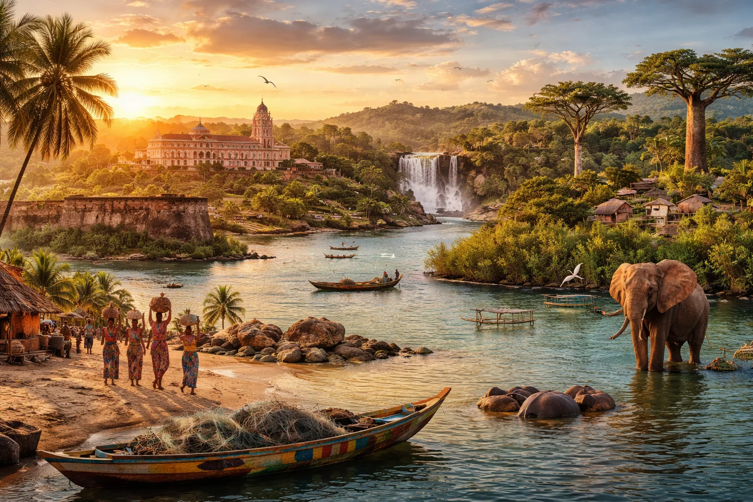
Short answer
Quick answer about Guinea-Bissau
Guinea-Bissau is a coastal country in West Africa, not an island country.
Its geography includes a mainland Atlantic coast, river estuaries, mangroves, low-lying terrain, and the Bijagos Islands offshore.
Location: West Africa, on the Atlantic coast
Capital: Bissau
Borders: Senegal and Guinea
Coast: Atlantic Ocean
Island group: Bijagos Islands offshore
Landscape: Low coastal plains, estuaries, mangroves, savanna, and islands
Guinea-Bissau overview
Guinea-Bissau is a West African republic on the Atlantic coast. Most of its territory lies on a low-lying mainland, while the offshore Bijagós Archipelago is also part of the country. Mangrove estuaries and tidal islands shape transport and settlement along the coast, beyond which the sparsely settled interior extends inland.
Guinea-Bissau also played a prominent role in African decolonization through the independence movement led by Amílcar Cabral and the PAIGC. Guinea-Bissau Kriol, a Portuguese-based Creole, is widely spoken and is an important marker of national identity. The Bijagós Archipelago is a UNESCO Biosphere Reserve whose mangroves provide habitat for endemic species and migratory birds. Cashew exports and offshore fishing access are central to the economy, while membership in the Community of Portuguese Language Countries (CPLP) supports ties with other Portuguese-speaking states.
Common Geography Questions About Guinea-Bissau
Where Guinea-Bissau is located
On Africa’s western edge, Guinea-Bissau faces the Atlantic Ocean and borders Senegal to the north and Guinea to the east and south. It lies roughly between 10°N–12°N latitude and 14°W–17°W longitude in the Gulf of Guinea region. The Geba River estuary cuts deeply into the mainland, while the Geba, Cacheu and Corubal rivers feed an extensive mangrove network. The Bijagós Archipelago lies offshore but forms an integral part of the country.
The terrain consists mainly of coastal plains and low plateaus, without major mountain ranges; elevations rarely exceed a few hundred metres. Mangroves and tidal flats extend toward the Bijagós, where seasonal tides reshape roughly 80–90 islands and islets. Inland, savanna and lateritic soils replace the coastal mangroves, and river floodplains support traditional wet-rice cultivation. With an indented, archipelagic coast and no railway network, some communities can be reached only by boat or seasonal roads.
Guinea-Bissau culture and society
Portuguese is the official language, but Guinea-Bissau Kriol, a Portuguese-based Creole, is the national lingua franca and an important marker of identity. Balanta, Fula, Mandinka, Papel and island-dwelling Bijagó communities are among the country’s population groups. Balanta age-grade systems and Bijagó animist rituals linked to seasonal fishing cycles reflect distinct social traditions. Islam, Christianity and indigenous beliefs coexist and often blend, while kinship networks influence rural household economies and migration.
Administratively, Guinea-Bissau comprises the eight regions of Bafatá, Biombo, Bolama, Cacheu, Gabú, Oio, Quinara and Tombali, as well as the autonomous sector of Bissau. The capital, Bissau, stands on the Geba River estuary and serves as the principal port and the administrative and cultural hub. Bafatá is an inland market town with regional administrative functions, while eastern Gabú connects with neighboring Sahelian cultural spheres. Small urban settlements on the Bolama islands reflect the country’s colonial geographic imprint.
History of Guinea-Bissau
Guinea-Bissau’s recorded history begins with pre-colonial polities and inclusion in Atlantic maritime networks; Portuguese trading posts were established from the 16th century. The territory known as Portuguese Guinea became a focal point of the transatlantic slave trade and later colonial administration, with the island of Bolama serving briefly as colonial capital. The mid-20th century saw the rise of the PAIGC independence movement led by Amílcar Cabral; the party’s armed struggle culminated in a unilateral declaration of independence in 1973 and formal recognition after Portugal’s 1974 revolution. Post-independence state-building and Cold War alignments left lasting institutional legacies.
Guinea-Bissau economy and government
Guinea-Bissau has a semi-presidential constitutional framework. It includes an elected president, a prime minister appointed from the unicameral National People’s Assembly, and local administrative entities; the military has remained an influential political actor since independence. The largely agrarian economy depends heavily on cashew nuts for export earnings, while rice, groundnuts and artisanal fisheries support livelihoods. Guinea-Bissau uses the West African CFA franc (XOF), tying monetary policy to the regional franc zone. Industrial processing remains limited, and much commercial activity and cross-border trade passes through the large informal sector.
Places in Guinea-Bissau
Frequently Asked Questions
Is Guinea-Bissau an island?
No. Guinea-Bissau is a mainland West African country with an Atlantic coast and offshore islands, including the Bijagos Islands.
Where is Guinea-Bissau located?
Guinea-Bissau is located in West Africa on the Atlantic coast, between Senegal and Guinea.
What is the capital of Guinea-Bissau?
The capital of Guinea-Bissau is Bissau.
What is Guinea-Bissau's geography like?
It is mostly low-lying and coastal, with river estuaries, mangroves, savanna areas, and offshore islands.