Georgia Guide
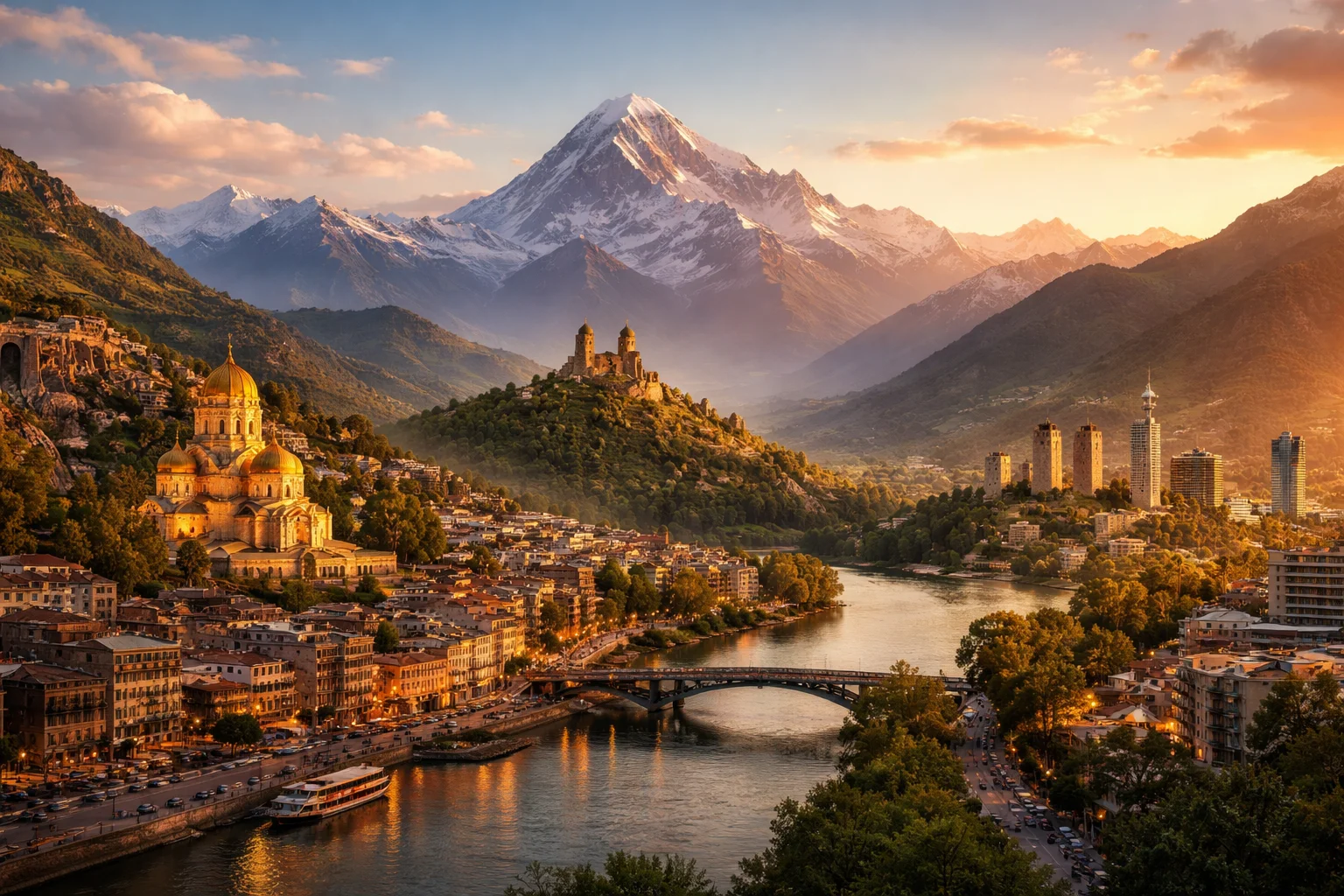
Georgia overview
Georgia is a country straddling the eastern edge of the Black Sea and the southern slopes of the Greater Caucasus. It is a compact state where mountain glaciers sit within a few dozen kilometres of subtropical beaches, and where one of the world's oldest continuous wine cultures survives in traditional qvevri vessels. Georgia’s strategic position between Europe and Asia has shaped a distinct political and cultural identity, visible in its unique alphabet, medieval churches and longstanding traditions of polyphonic singing. The overview that follows addresses Georgia’s geography, culture, history, economy and major cities in concise, country-specific terms.
Common Geography Questions About Georgia
Where Georgia is located
Georgia sits at the boundary between Eastern Europe and Western Asia, approximately between 41° and 44° North latitude and 40° and 47° East longitude. It borders Russia to the north, Turkey to the southwest, Armenia to the south and Azerbaijan to the southeast, while its western edge meets the Black Sea. Georgia occupies the central-western Caucasus corridor where the Greater and Lesser Caucasus ranges funnel climate and trade routes; that corridor has made Georgia a transit point for north–south and east–west connections for millennia. Its precise coastal-and-mountain juxtaposition distinguishes Georgia’s location from most neighbouring states.
Geography and landscape of Georgia
Georgia’s geography combines alpine peaks, narrow river valleys and a humid Black Sea littoral. The Greater Caucasus rises sharply in the north with peaks over 5,000 metres, while the Lesser Caucasus and volcanic highlands occupy the south; the principal river is the Kura (Mtkvari), which cuts eastward to the Caspian watershed. The Kolkhida Lowlands on the Black Sea coast host temperate rainforests and wetlands, producing a humid subtropical zone uncommon so close to high-altitude glaciers. This rapid altitudinal transition gives Georgia distinct microclimates and supports both citrus groves and permanent snowfields within short distances.
Georgia culture and society
Georgia’s culture is anchored by the Kartvelian language family—Georgian, plus Mingrelian, Svan and Laz dialects—and by a script family with three historical alphabets, of which mkhedruli is used today. The Georgian Orthodox Church shapes religious life, but social identity also revolves around the supra (communal feast) led by a tamada (toastmaster) and an ancient tradition of multipart polyphonic singing recognized internationally. Demographically, Georgia has urban concentration around the capital and a mosaic of regional minority communities; these social customs and linguistic roots set Georgian society apart from neighbouring Indo-European and Turkic-majority countries.
History of Georgia
Georgia’s history unfolds from the ancient kingdoms of Colchis and Iberia through a medieval “Golden Age” of statecraft and literature under rulers like Queen Tamar. Christianity became the dominant faith in the early fourth century, embedding ecclesiastical institutions and manuscript culture that survived successive Persian, Ottoman and Mongol pressures. From the eighteenth century the region drew imperial Russian interest and later integration into the Soviet system, after which Georgian elites revived national cultural forms and medieval monuments. Georgia’s historical arc—ancient kingdom, medieval flowering, imperial incorporation and modern statehood—explains many of its surviving institutions and built landscapes.
Georgia economy and government
Georgia is governed as a unitary state with a parliamentary system: executive authority centers on a prime minister and cabinet, while a president performs defined ceremonial and constitutional roles. Administratively it uses regions called mkhare and includes the autonomous republic of Adjara. The economy mixes agriculture—where viticulture, hazelnuts and fruit remain notable—with services, hydropower and transit-related sectors; pipelines and railway corridors that pass through Georgia make transport a recurring economic asset. The national currency is the lari. Georgia’s combination of small-scale family farming, energy potential from steep rivers, and corridor geography defines its economic profile.
Regions and major cities of Georgia
Georgia is divided into several regions (mkhare) plus two autonomous republics; its administrative vocabulary and regional boundaries reflect historic provinces such as Kartli, Kakheti and Imereti. The capital, Tbilisi, is the political and cultural hub; Batumi on the Black Sea is the principal port and Adjara’s urban centre; and Kutaisi is an ancient city that remains a regional landmark. Beyond municipal roles, these cities illustrate Georgia’s internal contrasts: Tbilisi’s riverine basin, Batumi’s subtropical waterfront and Kutaisi’s position in the fertile Imereti plain mark distinct geographic and cultural zones among Georgia’s major cities.
Distinctive characteristics of Georgia
Georgia is widely identified with a handful of precise, verifiable traits: an archaeological record that supports some of the earliest evidence of winemaking preserved in qvevri; a unique alphabetic tradition with three historic scripts; and multipart polyphonic singing that has influenced ethnomusicological study. Internationally, Georgia is associated with highland mountaineering in the Caucasus, a strong tradition of chess producing world-class players, and its role as a south Caucasus transport corridor linking Caspian energy and trade routes to Black Sea ports. These concrete features give Georgia a recognisable profile distinct from most other countries.
Places in Georgia
Abanotubani
Abanotubani is a historic district of Tbilisi, Georgia, centered on natural sulfur springs and a concentration of public bathhouses. It occupies a compact area beneath the Narikala fortress and forms part of Tbilisi's registered historic core. The district includes a compact ensemble of domed bathing structures that are recognized elements in the city's cultural-heritage inventory. The name Abanotubani literally means "bath district" in Georgian, reflecting its urban function.
Batumi Boulevard
Batumi Boulevard is a seaside urban promenade in the city of Batumi, Georgia, notable for its public parkland and coastal infrastructure. It occupies a continuous stretch along the Black Sea shoreline within Batumi municipality and functions as a major civic open space. The boulevard measures approximately seven kilometers in length and integrates landscaped lawns, paved promenades, sculptural installations, and civic amenities. Its significance derives from coastal urban design, cultural installations, and ongoing landscape management.
Borjomi
Borjomi is a resort town in south-central Georgia, distinguished by naturally carbonated mineral springs and spa infrastructure. It is located within Borjomi Municipality and functions as a local administrative centre. The settlement lies at an elevation of about 820 metres above sea level and has a long commercial history linked to its bottled mineral water. Borjomi’s significance derives from its distinctive hydrogeology, its role in regional health culture, and its connection to a large protected mountain park.
David Gareja Monastery
David Gareja Monastery is a rock-hewn monastic complex in eastern Georgia that combines religious, artistic, and historical importance. Founded by St. David of Gareja in the sixth century, the complex comprises about twenty rock-cut churches, cells, and chapels carved into soft sedimentary rock. Its location on a semi-desert plateau and its extensive medieval fresco program make the David Gareja Monastery a major subject of study for Georgian history, art history, and conservation science, with measurable architectural ensembles and documented painted cycles.
Georgian National Museum
Georgian National Museum is the state museum institution of Georgia, based in the capital city of Tbilisi. Its role is the public stewardship and research of the country's archaeological, historical, and ethnographic heritage, with principal exhibition complexes located in central Tbilisi. The museum functions as a national repository and research body responsible for long-term preservation, cataloguing, and scholarly study of material culture from prehistoric periods through the medieval era.
Gergeti Trinity Church
Gergeti Trinity Church is a medieval Georgian Orthodox church set on a ridge above the town of Stepantsminda, Georgia. It occupies approximately 2,170 meters elevation, providing a measurable topographic datum for the site. The church is significant as an enduring symbol of Georgian highland Christianity and national cultural imagery. Its single stone nave and dome produce a distinctive silhouette against Mount Kazbek and the Greater Caucasus skyline.
Kazbegi (Gergeti Trinity Church)
Kazbegi (Gergeti Trinity Church) is a solitary Georgian Orthodox church situated near the village of Gergeti above the town of Stepantsminda. The site is notable for its elevated position at about 2,170 meters above sea level and for its role as a visual emblem of the Kazbegi highlands. The church combines religious function and landscape prominence, making it a clearly defined landmark in Georgia’s mountainous northern province.
Martvili Canyon
Martvili Canyon is a limestone gorge and officially designated natural monument in western Georgia, near the town of Martvili. It is formed by the Abasha River and is notable for its steep cliffs, cascades, and clear pools. The canyon has formally defined boundaries within Georgia’s protected-area system and contains measurable karst features such as vertical walls reaching tens of meters in height and a distinct river channel carved through limestone. Its geographic and geological significance attracts scientific study.
Svaneti Region
Svaneti Region is a historic highland province in northwestern Georgia, centered on the upper valleys of the Enguri and Tskhenistskali rivers. It is significant for its high mountain environment, distinctive local language, and a concentration of medieval stone defensive towers. Svaneti Region contains Mount Shkhara, which attains 5,193 meters, and a network of villages such as Mestia and Ushguli that together form a measurable highland cultural landscape.
Tbilisi
Tbilisi is the capital city of Georgia and its principal political, cultural, and economic center. It lies at the crossroads of Eastern Europe and Western Asia, giving it strategic location significance for regional trade and diplomacy. The city is home to over one million residents and functions as Georgia's largest urban municipality. Tbilisi contains a formally defined administrative status as a self-governing city unit within the Georgian national system.
Tbilisi Old Town
Tbilisi Old Town is the historic core of Georgia’s capital, defined by its compact network of lanes and landmarks. It lies along the left bank of the Kura (Mtkvari) River and contains a concentration of religious and civic monuments. The district covers roughly one square kilometer of contiguous urban fabric and includes well-known sites such as the Narikala fortress and sulfur bath quarter. Its significance derives from layered cultural history and dense architectural heritage.
Tbilisi State University
Tbilisi State University is a public university in the country of Georgia and the institution formally known as Ivane Javakhishvili Tbilisi State University. It was established as the first modern university in the nation and serves as Georgia's principal state university, holding a formal role in national higher-education governance and research. The university maintains a multi-building urban campus in the capital and operates a central academic library and several research institutes that anchor scholarly activity in Georgia.
Explore Natural Landmarks in Georgia
Browse islands and mountains connected with Georgia to keep exploring related geography clusters.