Gambia Guide
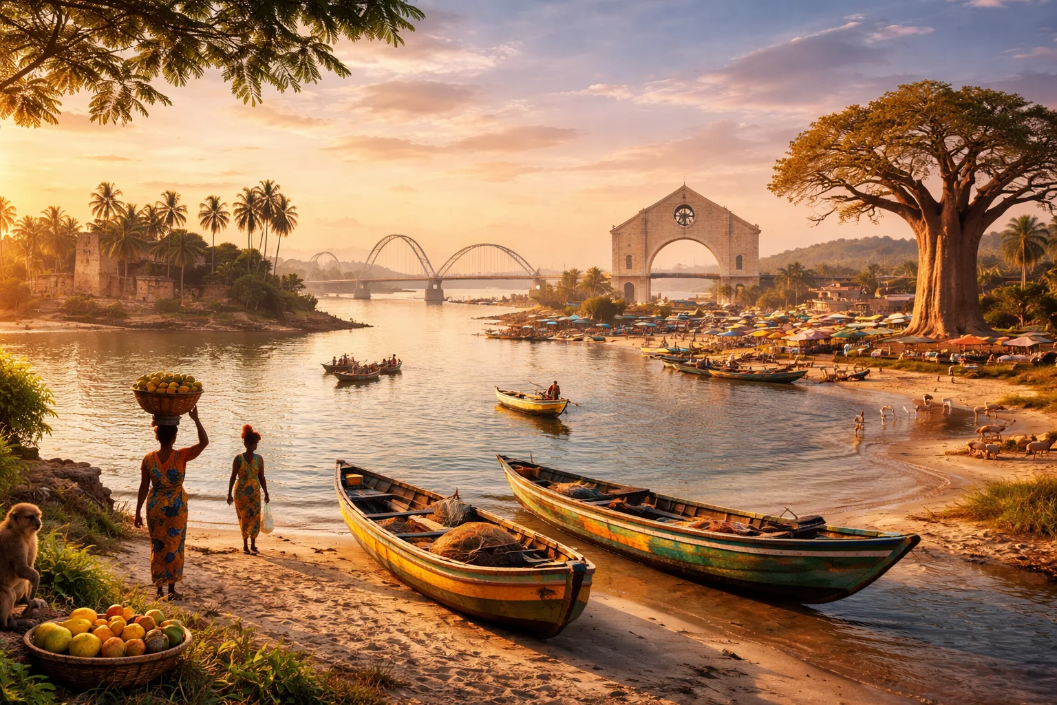
Gambia overview
Gambia is a narrow West African state defined by the course of a single river and by its unusually compact, river-focused territorial shape. Sitting on the Atlantic coast and almost entirely enclosed by Senegal, Gambia occupies land both historically and economically organized around riverine transport and groundnut cultivation. The country’s legal and administrative systems reflect a British colonial heritage that contrasts with surrounding Francophone territories. For readers seeking concise context, Gambia combines a small land area, a dominant river corridor, and a cultural profile strongly associated with Mandinka oral traditions and kora music.
Common Geography Questions About Gambia
Where Gambia is located
Gambia lies on the continent of Africa, in the westernmost coastal band of the continent commonly called West Africa. The country is almost entirely surrounded by Senegal on its north, east and south sides, with a short Atlantic Ocean frontage at the river’s mouth; this enclave-like configuration is unusual among African states. Its national territory follows the lower reaches of the Gambia River from the interior to the Atlantic. Border lines were shaped by 19th-century treaties that produced a thin longitudinal strip of land rather than a compact inland country.
Geography and landscape of Gambia
Gambia’s geography is unusual because the national territory is essentially the floodplain and immediate hinterland of one river — the Gambia River — with continental margins rarely exceeding a few dozen kilometres from the river’s banks. Terrain is predominantly flat, with low-lying alluvial plains, mangrove fringes at the coast, and scattered patches of Guinea savanna inland. There are no significant mountain ranges; elevation rarely rises above a few hundred metres. Seasonal shifts between wet and dry climates create sharp changes in land use and vegetation along short distances, producing distinct microclimates within the country’s narrow span.
Gambia culture and society
Gambia’s culture centers on a set of interlocking ethnic traditions — predominantly Mandinka, Fula and Wolof — combined with the official use of English, a legacy that sets social practice against Senegal’s Francophone surroundings. Islam is the majority religion, expressed through Sufi orders and town-level religious leaders, while hereditary griot families preserve histories through kora performance and praise-singing; the living role of griots as oral historians is particularly pronounced in Gambian social life. Local naming ceremonies, compound-based kinship patterns and seasonal fishing rhythms shape everyday community organization in ways specific to Gambia’s riverine settlements.
History of Gambia
Gambia’s history is shaped by its river: it was a regional gateway in the transatlantic slave trade, later becoming a British possession whose borders were fixed by agreements with France centered on control of the river mouth. Colonial administration emphasized peanut (groundnut) production, a pattern that oriented rural economies and land tenure. Post-independence politics revolved around centralised presidential rule and efforts to balance rural agricultural interests with coastal trade and tourism. The island known historically as James Island — today Kunta Kinteh Island — exemplifies the country’s global historical links to the Atlantic slave economy and diasporic memory.
Gambia economy and government
Gambia is governed as a unitary state with an executive president, a legislature and local councils; its legal framework and civil service retain institutional shapes imported from British colonial administration. Economically, the country has long depended on a narrow range of sectors: agriculture with groundnuts as the traditional cash crop, artisanal fishing along the estuary, and riverine trade centred on Banjul’s port functions. Currency is the dalasi. Structural features that distinguish Gambia’s economy include the dominance of a single river corridor for transport and markets, and a land use pattern where smallholder farming and seasonal fishing determine income for much of the population.
Regions and major cities of Gambia
Administrative regions in Gambia are organised along the river’s course: the West Coast, North Bank, Lower River, Central River and Upper River regions, together with the Banjul/Greater Banjul metropolitan area that contains the capital. Banjul, the capital, occupies an island at the mouth of the river and functions as the country’s principal port and administrative center. Serekunda is the largest urban area by population and a commercial hub, while Brikama serves as a regional market and cultural center in the West Coast area. These divisions map closely to riverine geography rather than wide inland provinces.
Distinctive characteristics of Gambia
Gambia’s most recognizable global associations are tightly specific: its national shape carved along the Gambia River is a frequent example in geopolitical studies of colonial boundary-making; Kunta Kinteh Island stands as a UNESCO-linked site tied to Atlantic slave-trade memory; and the prominence of kora music and hereditary griot musicians gives Gambian culture a distinct place in West African artistic networks. The country is also notable for being the smallest state on mainland Africa by land area and for maintaining English-language administration within a largely Francophone regional setting.