Cambodia Guide
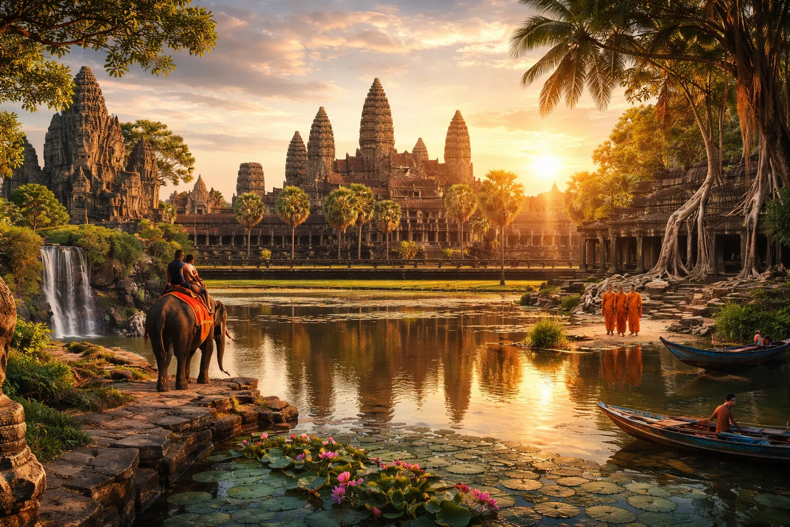
Cambodia overview
Cambodia is a Southeast Asian kingdom on the Indochina Peninsula noted for its Angkor temple complex and the Tonle Sap floodplain. Located between Thailand, Laos and Vietnam, Cambodia combines lowland river systems, coastal mangroves and isolated rainforest. The country’s historical prominence as the seat of the Khmer Empire and its contemporary identity as a constitutional monarchy shape national life. Cambodia’s global significance rests on its archaeological heritage, a distinctive script and living traditions tied to rice cultivation and seasonal water management.
Common Geography Questions About Cambodia
Where Cambodia is located
Cambodia sits in mainland Southeast Asia between roughly 10°–15°N and 102°–108°E, on the southern portion of the Indochina Peninsula. It borders Thailand to the northwest and west, Laos to the north, and Vietnam to the east and southeast; a short coastline opens onto the Gulf of Thailand. The Mekong River bisects the country, feeding the Tonle Sap freshwater system whose seasonal expansion defines Cambodia’s central geography. Cambodia’s land borders include the Dangrek and Cardamom mountain ranges that mark clear natural frontiers.
Geography and landscape of Cambodia
Cambodia’s terrain centers on the broad Mekong floodplain and the Tonle Sap basin, with uplands to the southwest and northeast. The Cardamom Mountains are among Southeast Asia’s last relatively intact rainforests, hosting rare lowland evergreen habitats; the Dângrêk Range forms a limestone escarpment along the northern boundary. Tonle Sap Lake uniquely reverses river flow seasonally—expanding severalfold in the monsoon and contracting in the dry season—an ecological pulse that drives fisheries productivity. Coastal mangroves and offshore islands punctuate the short Gulf of Thailand shoreline.
Cambodia culture and society
Khmer is Cambodia’s official language, written in an Indic-derived script preserved in inscriptions and liturgy; this script remains one of the region’s oldest continuously used alphabets. Theravada Buddhism predominates and is woven into rites, seasonal festivals and village life; Apsara dance and long-standing silk-weaving traditions express pre-Angkorian and Angkorian continuities. Ethnic minorities include Cham Muslims, Vietnamese communities and upland Khmer Loeu groups with distinct languages and matrilineal customs in some areas. Cambodia’s floating villages and stilt-house settlements around Tonle Sap create communal patterns distinct from inland urban centers.
History of Cambodia
Cambodia’s history is anchored by the rise and fall of the Khmer Empire, which from the 9th to 15th centuries built Angkor—a complex of temple-mountains, barays and canals reflecting sophisticated state hydraulics. After centuries of regional rivalry and coastal trade, Cambodia became a French protectorate in the 19th century, gaining independence in 1953. The 20th century included severe ruptures: civil conflict, revolutionary rule that led to widespread loss of life, and subsequent reconstruction under international agreements. Angkor’s rediscovery by Europeans and later UNESCO conservation positioned Cambodia as a central case in global heritage debates.
Cambodia economy and government
Cambodia is a constitutional monarchy with a king as ceremonial head of state and a parliamentary government accountable to an elected National Assembly, complemented by a Senate. The economy mixes subsistence and commercial rice agriculture with export-oriented garment manufacturing, a sizable tourism sector centered on heritage sites, and growing construction and services. The national currency is the riel, but the US dollar circulates alongside it for larger transactions—a monetary duality uncommon regionally. Informal labor, remittances and fisheries from Tonle Sap remain critical components of livelihoods.
Regions and major cities of Cambodia
Administratively, Cambodia is divided into provinces plus the autonomous municipality of Phnom Penh, totaling 25 primary units. Phnom Penh is the capital and political hub; Siem Reap serves as the gateway to Angkor and a tourism-focused center; Sihanoukville (Kampong Som) is the principal deepwater port. Regional distinctions include the Tonle Sap basin with floating communities, the fertile Mekong lowlands supporting irrigated rice systems, the Cardamom rainforest massif to the southwest, and the remote northeastern highlands where indigenous upland groups practice swidden agriculture.
Distinctive characteristics of Cambodia
Cambodia is identified worldwide with Angkor Wat—not merely a monument but a national symbol that appears on the flag and drives archaeological scholarship. The seasonal reversal of the Tonle Sap’s flow is a hydrological phenomenon that underpins one of the most productive inland fisheries in Asia. Cambodia’s Khmer script, Apsara performance tradition and classical temple architecture form distinctive cultural exports, while the country’s post-conflict transitional justice process established an internationally backed tribunal model focused on crimes from a specific historical period. The dual circulation of the riel and US dollar also marks Cambodia’s distinctive economic profile.
Places in Cambodia
Angkor Wat
Angkor Wat is a temple complex in Siem Reap Province, northwestern Cambodia, and a central symbol of Khmer cultural heritage. Its outer wall and surrounding moat enclose approximately 162.6 hectares, making it the world’s largest religious monument by enclosed area. Monumental architecture, extensive sculpture, and bas-reliefs embody religious and political authority while providing evidence for the study of premodern Southeast Asian state formation. The temple also appears on Cambodia’s national flag and several denominations of its currency.
Battambang Bamboo Train
Battambang Bamboo Train is a locally built rail vehicle system that uses bamboo platforms running on Cambodia's metre-gauge (1,000 millimetres) railway tracks. It is located near the town of Battambang in northwestern Cambodia and holds significance as an exemplar of grassroots transport adaptation. Typical platforms measure about two metres in length and provide a lightweight, reparable way to carry small loads and several passengers.
Bokor Hill Station
Bokor Hill Station is a former French colonial hill resort and ruined mountain settlement on Phnom Bokor in southwestern Cambodia. It is located within Preah Monivong Bokor National Park and occupies an elevated site at approximately 1,080 meters above sea level. Bokor Hill Station is significant for its concentration of colonial-era buildings, notably an abandoned hotel and casino complex, and for its continued role in Cambodian history, heritage discussions, and studies of post-conflict landscape change.
Cardamom Mountains
Cardamom Mountains is a mountain range in southwestern Cambodia that forms one of Southeast Asia’s largest intact forest blocks. It spans rugged highlands and coastal foothills and includes Cambodia’s highest peak, Phnom Aural, rising to 1,813 meters. The range is significant for its extensive lowland and montane rainforests, major river catchments, and high biodiversity. Its landscape-scale ecological value has attracted national protection initiatives and long-term scientific interest in habitat conservation and species monitoring.
Kampot
Kampot is a riverside city in southern Cambodia that functions as the administrative capital of Kampot Province. It lies at approximately 10.6147°N, 104.1781°E on the lower reaches of the Preaek Tuek Chhu river system. The town is significant for its established agricultural production, notably pepper cultivation, and for a compact colonial-era urban fabric that preserves masonry warehouses, administrative buildings, and a planned riverfront layout.
Koh Rong Island
Koh Rong Island is an island in the Gulf of Thailand off the southwest coast of Cambodia that combines coastal, marine, and forested environments. It lies within Preah Sihanouk Province and is notable for its size and diverse ecosystems. Koh Rong Island has an area of about 78 square kilometres, and it supports multiple permanent settlements and extensive fringing coral reefs that contribute measurable marine biodiversity values. The island is significant for ecological research and regional coastal dynamics.
Kratie
Kratie is the capital town of Kratié Province in northeastern Cambodia located on the Mekong River. It functions as a regional administrative center and river port. The town sits at approximately 12.4927°N, 106.0277°E, a concrete geographic coordinate used in mapping systems. The riverside urban core is significant for its local economy tied to the Mekong and for nearby populations of Irrawaddy dolphins.
National Museum of Cambodia
National Museum of Cambodia is the national institution for the preservation and display of Cambodian archaeological and ethnographic collections, located in Cambodia. It serves as the primary state museum for Khmer art and material heritage and is administered as the national repository under the Ministry of Culture and Fine Arts. The facility occupies a purpose-built historic museum complex designed to house and conserve the country’s core collection of sculpture, inscriptions, ceramics, and ritual objects.
Phnom Kulen National Park
Phnom Kulen National Park is a protected mountain plateau and archaeological landscape in Siem Reap Province, Cambodia, recognized for its cultural and natural values. The site is notable as a sacred range that rises to approximately 487 metres above the surrounding plain. The park combines dense forest, sandstone outcrops, carved riverbeds, and historic temple remains, and it functions as a measurable watershed that contributes to the rivers flowing toward the Angkor plain.
Phnom Penh
Phnom Penh is the capital and largest city of Cambodia, located at approximately 11.5564° N, 104.9282° E. It serves as the country’s primary political and cultural center, hosting central government institutions and national ceremonial sites. The municipality covers an area of about 679 square kilometers and concentrates major commercial activities. Phnom Penh functions as the national seat of government and a regional hub for administration and cultural preservation.
Phnom Tamao Wildlife Rescue Centre
Phnom Tamao Wildlife Rescue Centre is a wildlife rescue and rehabilitation facility in Cambodia. The centre is located in Takeo Province and functions as a national repository for animals confiscated from illegal trade, with on-site veterinary and quarantine facilities forming a formal part of its infrastructure. Phnom Tamao Wildlife Rescue Centre is managed in partnership with Cambodian government agencies and international conservation organisations, and it maintains a curated collection geared to rehabilitation rather than exhibition.
Preah Vihear Temple
Preah Vihear Temple is an ancient Khmer temple complex perched on a limestone escarpment in northern Cambodia, notable for its architectural articulation and ceremonial role. The site is located on a narrow ridge and contains a series of sanctuaries arranged along a pronounced axial plan, with the main sequence extending along roughly 800 metres of ridge. The temple's significance derives from its well-preserved classical Khmer features and its prominence as a cultural symbol of the region.