Burkina Faso Guide
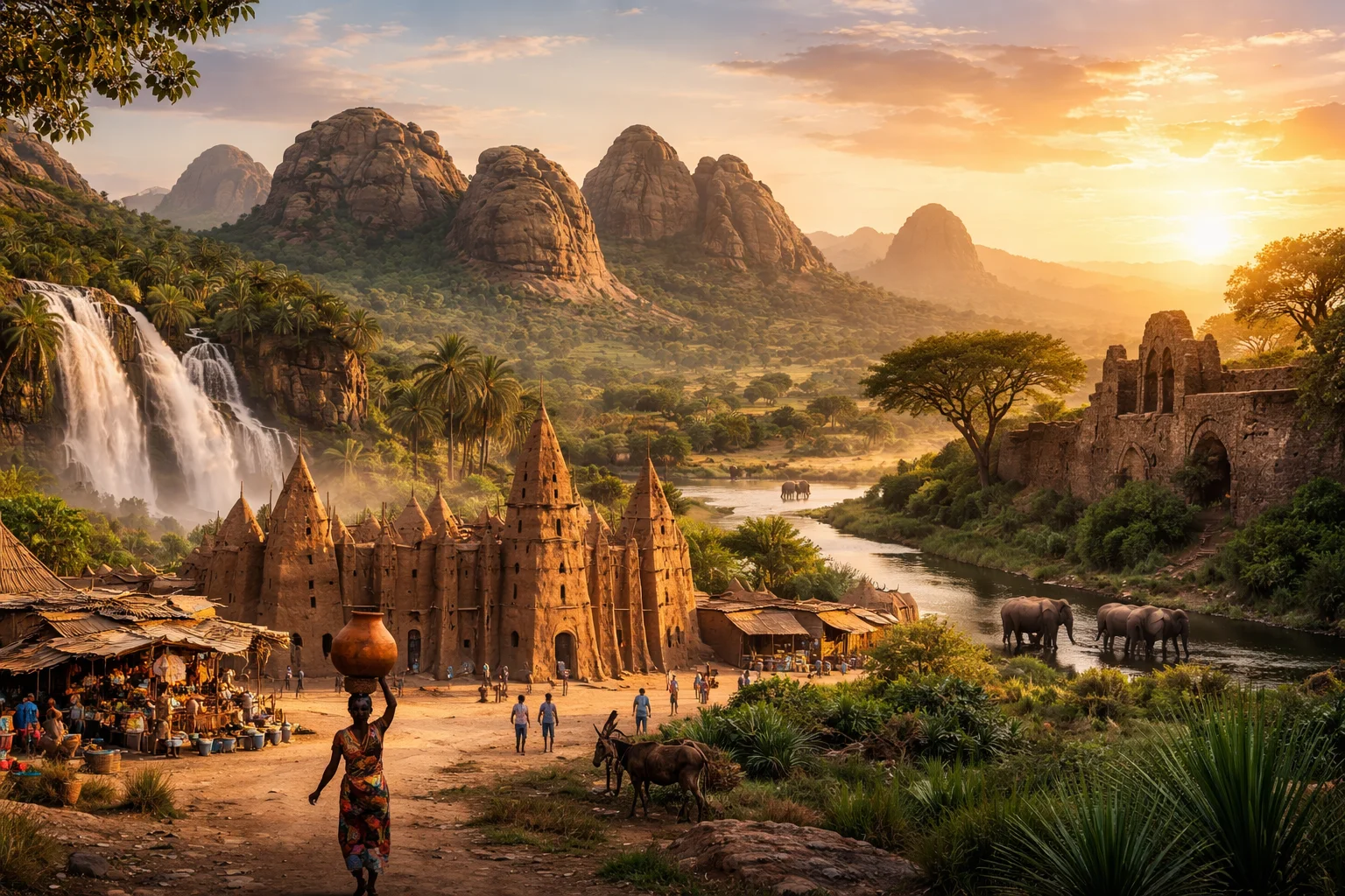
Burkina Faso overview
Burkina Faso is a landlocked West African state whose name derives from local languages and is often translated as "land of honest people." Located at the ecological crossroads of Sahel and Sudanian savanna, it is notable for a dense mosaic of ethnic groups and a cultural prominence in African cinema and crafts. The country’s economy blends subsistence agriculture with sizeable artisanal gold production and a long-established cotton sector. Burkina Faso's historical footprint includes medieval trade sites tied to trans-Saharan gold routes and a modern national identity reshaped in the 20th century.
Common Geography Questions About Burkina Faso
Where Burkina Faso is located
Burkina Faso sits in the interior of West Africa, north of the Gulf of Guinea, roughly between the latitudes where the Sahel begins to the Sudanian belt. It is bordered by six countries: Mali to the north and west, Niger to the east, Benin and Togo to the southeast (the Togo border is unusually short), Ghana to the south, and Côte d’Ivoire to the southwest. There is no coastline; instead the country is defined hydrologically by the headwaters of the Volta river system—Black (Mouhoun), White (Nakambé) and Red (Nazinon)—which channel rainfall toward Ghana’s Lake Volta.
Geography and landscape of Burkina Faso
Burkina Faso’s terrain is dominated by a central plateau—the Mossi Plateau—sitting generally between 200 and 400 meters elevation, punctuated by isolated sandstone outcrops such as the Sindou Peaks in the southwest and the Banfora Cascades. The country uniquely straddles the watershed for the Volta rivers, so much of its drainage flows south into Ghana rather than west to the Atlantic. Climatically, it transitions from Sahelian semi-desert in the far north to Sudanian woodland and gallery forests in the south; the highest point, Ténakourou, reaches roughly 749 meters near the western border.
Burkina Faso culture and society
French is the official language of Burkina Faso, but the majority use indigenous languages in daily life—Mooré (Mossi) is the single most widely spoken language, with Dioula serving as a regional trade lingua franca. Ethnically, the Mossi are the largest group and retain a network of traditional chiefs stemming from the Mossi kingdoms; other groups include the Bobo, Lobi, Senufo and Gurunsi. Religious practice commonly mixes Islam, Christianity and indigenous beliefs. Distinctive cultural markers include the Faso dan fani woven textile, Bwa and Nuna mask traditions used in initiation and harvest rites, and a strong tradition of itinerant griot musicians among Mandé-speaking communities.
History of Burkina Faso
Burkina Faso’s past weaves local kingdoms and long-distance trade into its modern borders. From the medieval formation of Mossi polities that resisted incorporation into neighboring empires, the area later became integrated into French West Africa as Upper Volta. Colonial-era territorial adjustments created the present inland shape; independence came in 1960. A major symbolic turning point occurred in the 1980s when the state adopted the name Burkina Faso to reject colonial-era nomenclature and emphasize a new national identity. The country’s historical role in regional gold trade is embodied by archaeological sites like Ruins of Loropéni, linked to trans-Saharan commerce.
Burkina Faso economy and government
Burkina Faso is a unitary state organized into a central government and subnational administrative units; under its constitution executive authority is vested in a president with a prime minister and legislature, while customary authorities continue to play local roles in many communities. The economy combines smallholder cereal farming and cotton production with a growing gold mining sector—both industrial and artisanal—alongside handicrafts and informal trade. The national currency is the West African CFA franc (XOF), used within the regional monetary union administered by the BCEAO. Membership in regional bodies such as ECOWAS shapes trade and monetary policy.
Regions and major cities of Burkina Faso
Administratively, Burkina Faso is divided into 13 regions, which are further subdivided into 45 provinces and numerous departments; this three-tier structure frames decentralization efforts. Ouagadougou is the political and transport capital, known for hosting Africa’s major film festival; Bobo-Dioulasso is the country’s commercial hub and musical center. Koudougou is an important industrial and educational city, while Banfora serves as a gateway to southwestern natural sites like the Karfiguéla falls and Sindou rock formations. Each city sits in a distinct ecological and cultural zone, reflecting local languages and livelihoods.
Distinctive characteristics of Burkina Faso
Burkina Faso is globally associated with a handful of concrete features: Ouagadougou’s FESPACO festival, founded in 1969, is the largest African film festival and a major platform for African cinema; the Ruins of Loropéni—a fortified stone site—stand as tangible evidence of the country’s role in precolonial gold routes and are a UNESCO World Heritage site. The Faso dan fani textile functions as a national symbol and artisanal export; meanwhile, artisanal gold mining and cotton cultivation are particularly prominent in export profiles. The survival of Mossi chieftaincies alongside formal state administration marks another distinctive institutional layering.