Bolivia Guide
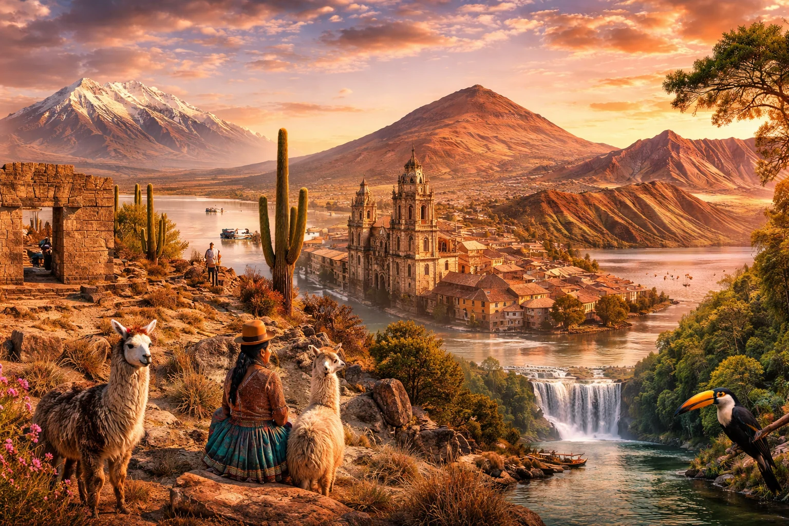
Bolivia overview
Bolivia is a landlocked, plurinational country in central South America that shares Lake Titicaca with Peru. Defined by dramatic altitude contrasts, a majority indigenous heritage, and a history that reshaped colonial-era global silver flows, it straddles the high Andean altiplano and Amazonian lowlands. Bolivia combines tropical forests, one of the world’s largest salt flats, and cities located at extreme elevation. Its institutional identity emphasizes multiple official languages and territorial departments that reflect both Andean and lowland geographies.
Common Geography Questions About Bolivia
Where Bolivia is located
Bolivia is a landlocked, plurinational country in western-central South America that shares Lake Titicaca with Peru. It lies roughly between 9°S and 22°S latitude and 57°W to 69°W longitude. It borders Brazil to the north and east, Peru to the northwest, Chile to the southwest, Argentina to the south, and Paraguay to the southeast. Landlocked since the late 19th-century War of the Pacific, Bolivia nonetheless contains part of the Amazon basin; Lake Titicaca and the altiplano help define its continental position. Rivers such as the Madeira system drain eastward into the Amazon, linking Bolivia’s interior to larger South American hydrology.
Geography and landscape of Bolivia
Bolivia’s geography ranges from the high Andean Cordilleras—split into the Western and Eastern (Cordillera Real) chains—to the broad Altiplano plateau and down into Amazonian lowlands. Unique features include the Salar de Uyuni, the world’s largest salt flat, and Lake Titicaca, often cited as the highest navigable lake. Mount Sajama and Illimani punctuate the western ranges, while the Yungas provide steep cloud-forested transition zones into the tropical basin. Major rivers include the Beni, Mamoré and Pilcomayo, which feed distinct drainage basins; Bolivia’s average elevation ranks among the highest globally, producing sharp regional climate contrasts.
Bolivia culture and society
Bolivia’s culture reflects a predominant indigenous base—Aymara, Quechua and Guaraní peoples—combined with Spanish colonial legacies and African and migrant influences. The 2009 constitution recognizes 36 indigenous languages alongside Spanish, making multilingual public life and indigenous legal traditions distinctive. Religious practice commonly blends Catholic rites with Andean cosmologies; the Oruro Carnival is designated by UNESCO as intangible cultural heritage. Urban social patterns include El Alto’s role as a high-altitude, predominantly indigenous metropolis where traditional dress and political organization shape daily life. Coca leaf use for ritual and medicinal purposes remains a culturally embedded practice.
History of Bolivia
Long before Spanish arrival, advanced societies such as Tiwanaku centered on Lake Titicaca established monumental architecture and agricultural terraces; their influence predated Inca incorporation. Spanish colonial rule pivoted on the Cerro Rico silver mines of Potosí, whose output had far-reaching effects on global bullion flows. Bolivia gained independence in 1825 and was named for Simón Bolívar. Subsequent territorial conflicts, most notably the loss of coastal provinces to Chile in the late 19th century, reshaped its modern borders. Twentieth-century social movements and constitutional reform in the early twenty-first century reframed state recognition of indigenous rights and regional autonomy.
Bolivia economy and government
Bolivia is a unitary presidential republic organized as the Plurinational State, with an executive president, a bicameral Plurinational Legislative Assembly, and specialized courts. Economically, Bolivia combines extractive sectors—mining of tin, silver and other minerals—and substantial natural gas exports with agricultural production concentrated in lowland Santa Cruz. The Boliviano (BOB) is the national currency. State participation in hydrocarbons and strategic industries has been a recurring policy feature; simultaneously, informal markets and regional economic disparities drive internal migration. Lithium-bearing brines in Andean salt flats present potential shifts in export composition over the long term.
Regions and major cities of Bolivia
Administratively, Bolivia is divided into nine departments: La Paz, Cochabamba, Santa Cruz, Potosí, Oruro, Chuquisaca, Tarija, Beni and Pando. Sucre remains the constitutional capital where the supreme court sits, while La Paz functions as the administrative seat and is notable as the world’s highest administrative capital by elevation. Santa Cruz de la Sierra is Bolivia’s largest economic hub in the lowlands; Cochabamba serves as an agricultural and transport center. El Alto, adjacent to La Paz, stands out as a high-altitude urban agglomeration with strong indigenous demographic presence. These major cities reflect the country’s vertical and cultural cleavages.
Distinctive characteristics of Bolivia
Concrete features commonly associated with Bolivia include the Salar de Uyuni’s lithium-rich salt crusts, Lake Titicaca’s high-altitude navigation, and Cerro Rico’s historical role in fueling Spanish imperial silver economies. Bolivia’s 2009 plurinational constitution and formal recognition of dozens of indigenous languages are globally cited examples of state-level indigenous accommodation. The Oruro Carnival and Andean textile traditions connect Bolivia to international cultural heritage lists. Geographically, being one of only two landlocked South American nations and possessing one of the planet’s highest mean elevations make Bolivia’s physical profile distinct among national territories.
Places in Bolivia
Amboró National Park
Amboró National Park is a protected area in central Bolivia where Andean highlands meet Amazonian lowlands. The park covers approximately 4,425 square kilometres and spans a wide altitudinal gradient that supports many habitat types. Amboró National Park is significant for its exceptionally high species richness, hosting more than 800 recorded bird species and numerous endemic plants. Researchers cite the park as a key site for studies of biogeographic transition zones and conservation planning.
Cerro Rico
Cerro Rico is a mineral-rich mountain near the city of Potosí in southwestern Bolivia and a major historic silver source. It rises to approximately 4,824 meters above sea level and dominates the local skyline, making it a measurable geographic landmark. The mountain’s significance derives from centuries of large-scale silver extraction and its lasting economic and cultural influence on the region and on global metal supply chains.
Higher University of San Andres
Higher University of San Andres is a public university in Bolivia. Located in the city of La Paz and founded in 1830, the institution serves as a principal national university with broad academic and civic responsibilities. Higher University of San Andres operates multiple faculty complexes and research units concentrated within the La Paz metropolitan area and maintains a formal designation in Bolivian higher education as Universidad Mayor de San Andrés (UMSA). The university’s administrative headquarters and principal faculties form a measurable institutional footprint across urban blocks in central La Paz.
La Paz Cable Car
La Paz Cable Car is an urban aerial cable car system linking the central city of La Paz with surrounding districts and the adjacent city of El Alto in Bolivia. It functions as a municipally owned mass transit network and a prominent engineering project in the Andes. The system first opened operations in 2014 and the network comprises more than ten color-coded lines with a collective route length exceeding thirty kilometers across the metropolitan area.
Laguna Colorada
Laguna Colorada is a shallow, high‑altitude saline lake in the southwestern Bolivian Altiplano noted for its vivid red waters. The lake covers approximately 60 square kilometres and lies at about 4,278 metres above mean sea level, making it one of the larger shallow basins in the region. Laguna Colorada is significant for its striking coloration, mineral deposits, and role as habitat for specialized Andean wildlife, especially flamingo species.
Lake Titicaca
Lake Titicaca is a large, high-altitude lake on the border of Bolivia and Peru in the Andean Altiplano. It covers approximately 8,372 square kilometres and lies at roughly 3,812 metres above sea level, making it one of the highest large lakes with substantial, sustained navigation. The lake is significant for its combined natural and cultural importance, including major archaeological sites and unique highland ecosystems.
Madidi National Park
Madidi National Park is a protected area in northwestern Bolivia that conserves an extensive portion of the upper Amazon and Andean cloud-forest slopes. It covers approximately 18,957 square kilometers and spans a major elevational gradient linking lowland rainforest with montane ecosystems. The park is significant for its high biological diversity, complex habitat mosaics, and longstanding cultural associations with indigenous peoples who have inhabited the region for centuries.
Salar de Uyuni
Salar de Uyuni is the world’s largest salt flat, covering about 10,582 square kilometers in southwestern Bolivia. It lies approximately 3,656 meters above sea level on the high Andean Altiplano. Its exceptionally level evaporite crust is patterned by salt formations, and subsurface brine contains lithium and other minerals.
Sucre
Sucre is a city in south-central Bolivia noted for its well-preserved colonial architecture and civic symbolism. Sucre sits at approximately 2,810 meters above sea level and functions as a major urban center in the Bolivian highlands. Its compact historic core preserves numerous colonial-era public buildings and private residences. The city’s architectural ensemble and urban layout contribute to its national cultural importance.
Tiwanaku
Tiwanaku is an archaeological site and ancient ceremonial center in western Bolivia that served as the core of a pre-Columbian polity. It lies near the southern basin of Lake Titicaca and is significant for its monumental stone architecture, complex urban planning, and role in Andean prehistory. The site features stone megaliths and platform mounds and was declared a UNESCO World Heritage Site in 2000, a formally defined recognition of its cultural value.
Vesty Pakos Zoo
Vesty Pakos Zoo is a zoo in Bolivia that functions as a curated urban zoological collection. It is located in the city of La Paz and serves as the city’s principal zoological institution, with a formal role in holding, exhibiting, and managing living animal collections. The institution is organized as a managed landscape combining built enclosures and interpretive spaces, and it is recognized locally for focusing on species associated with the Bolivian highlands.
Yungas Road
Yungas Road is a mountain road in Bolivia connecting the high Andean plateau near La Paz with the humid Yungas valleys to the northeast. The route runs for approximately 60 kilometres along steep slopes and descends several thousand metres between its endpoints. Yungas Road is significant for its dramatic engineering on exposed terrain and for its long-standing influence on regional transport, landscape perception, and local economies dependent on mountain-to-valley movement.