Belize Guide
Belize overview
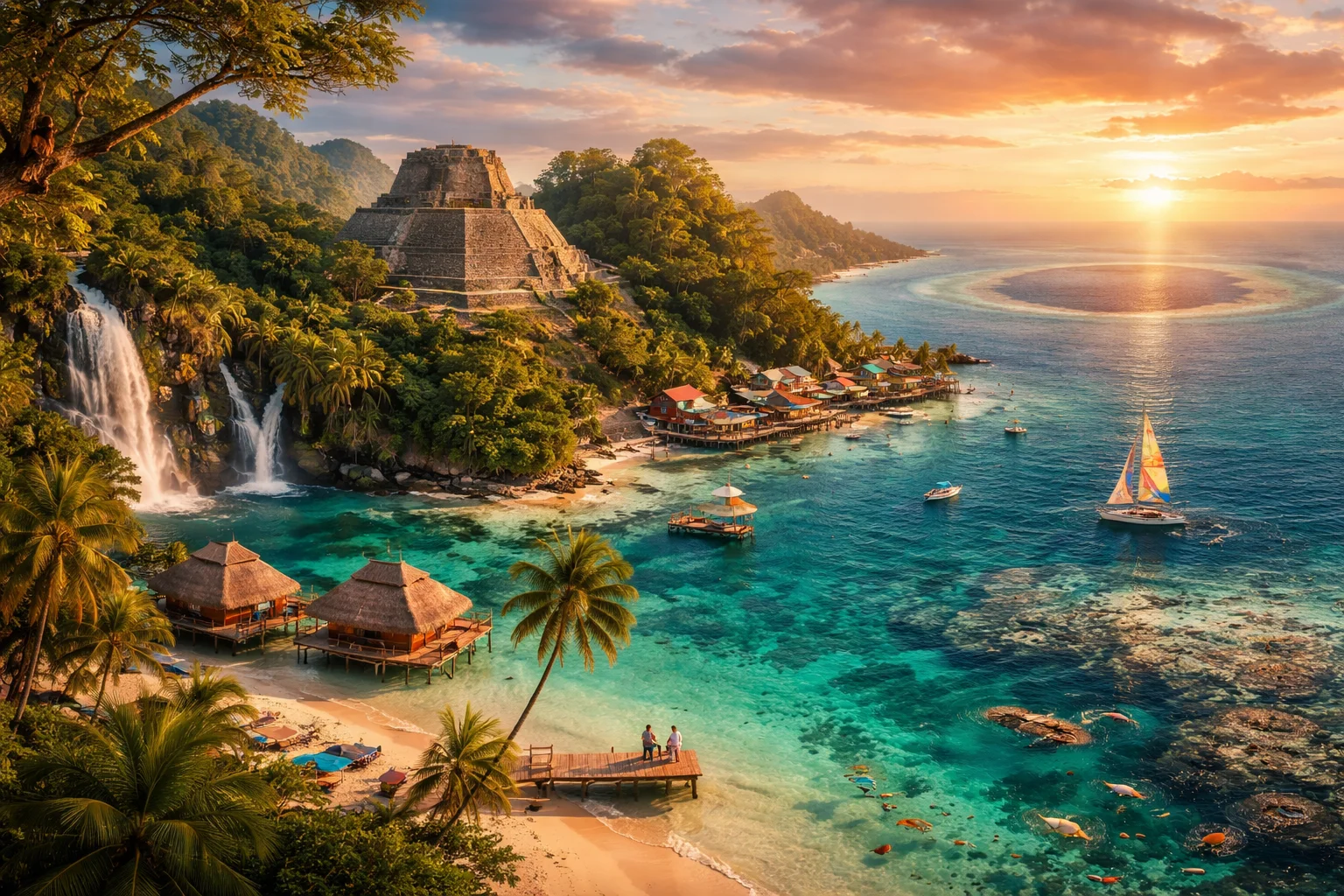
Belize is a small English-speaking country on the northeastern coast of Central America, facing the Caribbean Sea and anchoring the western edge of the Caribbean basin. It occupies a transitional zone where Mesoamerican rainforest and coastal reef ecosystems intersect, giving the state outsized biodiversity relative to its land area. Political life is shaped by its status within the Commonwealth and by long-standing border considerations with a neighboring state. Scholars and conservationists often highlight the high concentration of Maya archaeological sites and marine habitats inside a compact national territory.
Common Geography Questions About Belize
Where Belize is located
Belize sits at roughly 17.25° N latitude and 88.75° W longitude on the eastern flank of Central America, bounded to the north by Mexico and to the west and south by Guatemala. Its entire eastern boundary is a Caribbean coastline, characterized by shallow continental shelf, cayes and a continuous coral-reef system that defines the maritime margin. The nation’s land border is unusually irregular and has been geopolitically prominent; inland transport routes run from coastal plains into interior highlands rather than toward more distant continental centers.
Geography and landscape of Belize
The country's geography combines lowland coastal plains, offshore cayes and the rugged interior massif of the Maya Mountains, which culminate at Doyle’s Delight near 1,124 metres. Karst limestone underlies much of the interior, producing cave systems and sinkholes such as the Actun Tunichil Muknal archaeological cave, an uncommon inland feature tied to Maya ritual landscapes. Alongshore, the Belize Barrier Reef—the world’s second largest barrier reef—adjoins a matrix of mangroves, seagrass beds and atolls (Lighthouse Reef, Turneffe), creating sharp coastal-to-inland environmental gradients and significant habitat mosaic.
Belize culture and society
The country's culture reflects sustained contact among Maya communities, Afro-indigenous Garifuna groups, Mestizo settlers and British colonial institutions, producing a multilingual social fabric. English is the official language, while Belize Kriol operates as a widely used lingua franca and several Mayan tongues (Mopan, Q’eqchi’) and Garifuna are actively spoken. Religious life ranges from Roman Catholic and Protestant denominations to syncretic practices linked to Maya cosmologies and Garifuna spiritual traditions; Garifuna drumming and dance remain distinctive coastal cultural expressions that shape communal ceremonies and festivals.
History of Belize
Belize’s history begins with dense Maya occupation, visible through ceremonial centers, terraces and water-management features. European involvement differed from neighbors: Spanish administration was intermittent, while British loggers and settlers established control as a timber-exporting colony called British Honduras. The twentieth-century move toward decolonization culminated in formal independence in 1981; earlier natural disasters and the strategic decision to relocate the seat of government inland influenced urban planning. A protracted territorial claim by a neighboring state has been a persistent external factor in the country’s diplomatic and legal development.
Belize economy and government
The country operates as a parliamentary constitutional monarchy within the Commonwealth, with a Governor-General representing the monarch and a legislature centred on an elected House of Representatives. The domestic economy balances reef- and cave-based tourism, traditional agriculture (sugar, bananas, citrus), and service niches such as offshore financial services and English-language business processing. Petroleum exploration has added an energy export component. The national currency, the Belize dollar, has long been managed with a fixed exchange relation to the US dollar, a structural feature that influences monetary and trade policy.
Regions and major cities of Belize
The country is administratively divided into six districts—Corozal, Orange Walk, Belize, Cayo, Stann Creek and Toledo—each with distinct geographic and cultural profiles. Belmopan is the planned national capital located inland, while Belize City serves as the largest urban center and principal seaport. Major cities and towns include San Ignacio (a commercial and market hub in Cayo) and San Pedro on Ambergris Caye (a tourism gateway to offshore reefs). Regional contrasts are striking: the southern Toledo District retains strong Maya cultural continuity and lower urbanization than northern coastal districts.
Distinctive characteristics of Belize
Belize is globally associated with the Great Blue Hole, a prominent marine sinkhole that draws scientific and recreational diving interest, and with internationally recognized Garifuna cultural traditions. The national portfolio of natural and cultural assets—dense Mayan archaeological sites, extensive karst cave systems with ritual deposits, and accessible coral atolls—gives the country an outsized profile in marine conservation, tropical archaeology and ethnomusicology despite its small population and land area. These concrete features underpin Belize’s recognizable global identity.
Places in Belize
Altun Ha
Altun Ha is a prehistoric Maya archaeological site in Belize known for monumental temple-pyramids and important artifact assemblages. The site lies within Belize District and became the focus of systematic archaeological excavations beginning in the 1960s. Archaeologists documented a defined ceremonial core with multiple plazas, temples, and residential mounds that demonstrate sustained occupation and construction activity. Altun Ha's documented material culture and architecture make it a key reference for regional studies of lowland Maya political and economic organization.
Ambergris Caye
Ambergris Caye is the largest island of Belize, a long coral cay in the Caribbean Sea off the country’s northeastern coast. It measures approximately 40 kilometers in length and reaches about 1.6 kilometers at its widest point, making it the largest Belizean island by land area. Ambergris Caye is significant because it lies alongside the Belize Barrier Reef and hosts San Pedro Town, which serves as the island’s main population and administrative center for local affairs.
Belmopan
Belmopan is the purpose-built inland capital city of Belize and the national seat of government. It lies within the country’s interior and functions as the administrative center for national ministries and assemblies. The city occupies a measured elevation of roughly 76 metres above sea level and serves as a formal center for governance and public administration. Belmopan’s role as capital distinguishes it from Belize’s coastal economic and port centers within the national spatial structure.
Caracol Ruins
Caracol Ruins is a major ancient Maya archaeological site in the Cayo District of western Belize, notable for large-scale urban construction and epigraphic records. The site contains the monumental pyramid Caana, which rises approximately 43 meters above the main plaza, making it one of Belize's tallest ancient structures. Caracol Ruins occupies a central royal core surrounded by extensive residential and agricultural remains, and it played a central role in Classic Maya political and economic networks.
Cockscomb Basin
Cockscomb Basin is a protected rainforest basin and wildlife sanctuary located within the Maya Mountains of south-central Belize. It is formally designated under Belizean law as the Cockscomb Basin Wildlife Sanctuary to conserve regional biodiversity. The area is significant for its role in targeted species protection and for being recognized as a pioneering jaguar conservation site. The site includes contiguous forest blocks defined by legal boundaries and a management mandate for biodiversity conservation.
Great Blue Hole
Great Blue Hole is a large marine sinkhole off the coast of Belize, notable for its circular form and depth. It measures about 318 meters in diameter and reaches roughly 124 meters deep, providing a clear, measurable geological profile. Situated within the Belize Barrier Reef region, the Great Blue Hole is significant for geological research, marine biodiversity studies, and its role within regional conservation frameworks that recognize its scientific and natural value.
Hol Chan Marine Reserve
Hol Chan Marine Reserve is a national marine protected area located off the southeastern tip of Ambergris Caye in Belize, established in 1987. The reserve was created to conserve representative sections of the Mesoamerican Barrier Reef System and its associated habitats. Hol Chan Marine Reserve covers a defined reef, channel, and seagrass complex designated for conservation, scientific monitoring, and resource management due to its high biodiversity and nursery function.
Lamanai
Lamanai is an ancient Maya archaeological site in northern Belize, located on the west bank of the New River Lagoon in Orange Walk District. The site is significant for its monumental pyramidal temples, large stucco mask sculptures, and long sequence of occupation that extends through multiple Maya periods. One measurable fact is the presence of pyramidal temple rises that reach roughly thirty-three meters, making Lamanai one of the taller pre-Columbian constructions in Belize.
Placencia
Placencia is a village and narrow peninsula on the southern coast of Belize, in Stann Creek District, noted for its coastal setting and marine connections. The settlement occupies a compact settlement footprint and supports roughly 1,500 residents in the immediate village area. Its significance stems from beachfront landforms on the Caribbean Sea and direct proximity to nationally important coral reef habitats. Placencia functions as a local center for fishing, small-scale commerce, and coastal communities.
St. Herman's Cave
St. Herman's Cave is a solutional limestone cave system in central Belize that preserves archaeological deposits and karst formations. It lies within St. Herman's Blue Hole National Park and contributes to regional geological and cultural heritage. The cave contains multiple mapped chambers and passages documented by speleologists and archaeologists, and it forms part of a formally designated protected area administered under Belize's national conservation framework.