Belarus Guide
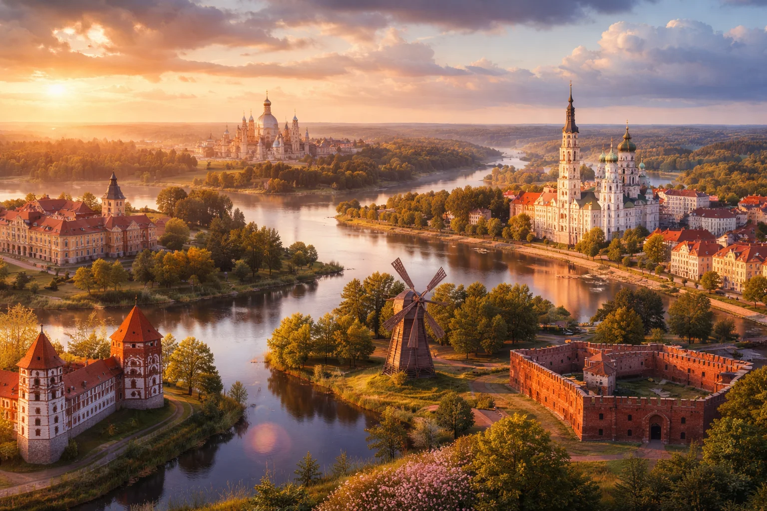
Belarus overview
Belarus is a landlocked country in Eastern Europe with a distinct post‑Soviet institutional legacy and a landscape shaped by forests and marshes. Located between the Baltic states and Ukraine, Belarus functions as a transport and energy corridor with concentrated industrial capacity inherited from the Soviet period. Its society exhibits bilingual patterns of Belarusian and Russian use and a cultural repertoire that preserves medieval East Slavic traditions alongside Soviet-era urban planning. For many researchers the country is notable for Belovezhskaya Pushcha, one of Europe’s last primeval forests, and for state‑led industry such as tractor and heavy‑truck manufacturing.
Common Geography Questions About Belarus
Where Belarus is located
Belarus sits in the centre of Eastern Europe, roughly between 51° and 56° north and 23° to 32° east, bordering Russia to the east and northeast, Ukraine to the south, Poland to the west, and Lithuania and Latvia to the northwest. Its landlocked position places it directly on overland corridors linking Moscow and Warsaw; several major European railway and pipeline routes cross Belarusian territory. Rivers such as the Western Dvina (Daugava), Dnieper and the Pripyat define sections of its drainage basins, while Lake Narach and the Polesie wetlands mark recognizable geographic anchors that locate Belarus on regional maps.
Geography and landscape of Belarus
Belarus’s terrain is predominantly lowland: there are no mountain ranges and the country’s highest natural point, Dzyarzhynskaya Hara, is under 350 metres, making Belarus unusually flat for its size. Extensive mixed forests and peat bogs cover large tracts, and the southern Polesie marshes (Pripyat wetlands) are one of the largest wetland systems in Europe. The country’s river network splits toward the Baltic and Black Sea basins, producing distinct northern lake districts around Vitebsk and the forested belt of Belovezhskaya Pushcha in the southwest—home to free‑roaming European bison. Spatial contrasts between lowland marsh, lakes, and managed forest distinguish Belarusian geography from many neighboring states.
Belarus culture and society
Belarus is bilingual at societal scale: Belarusian and Russian are both widely spoken, with Belarusian retaining strong regional dialects and historical scripts such as Łacinka in archival use. Religious practice combines Eastern Orthodox and Roman Catholic traditions with surviving Jewish heritage in urban centers; folk customs preserve pagan‑rooted rituals like Kupala Night (midsummer fire and water rites). Rural crafts—straw weaving, embroidered vyshyvanka patterns specific to Belarusian provinces, and wooden church architecture—remain living traditions. Demographically, population is concentrated in urban belts around Minsk and Gomel, producing a pronounced urban–rural cultural divide in language use and social customs.
History of Belarus
Belarusian territory was long a borderland of medieval polities: it formed part of the Grand Duchy of Lithuania, later the Polish–Lithuanian Commonwealth, and was incorporated into the Russian Empire after the 18th‑century partitions. The 20th century brought competing national projects—the short‑lived Belarusian People’s Republic in 1918, then the Byelorussian Soviet Socialist Republic, which became an original UN founding member in 1945. World War II devastated cities and demography; post‑war Soviet industrialization reshaped urban centers, especially Minsk. The 1986 Chernobyl disaster left a significant imprint on southern Belarusian regions, altering land use and public health policy in ways that persisted after independence in 1991.
Belarus economy and government
Belarus has a presidential system in which executive institutions play a central role in governance; administrative organization follows Soviet‑era models of centralized ministries and large state enterprises. The economy remains characterized by substantial state ownership in heavy industry—notably tractors (MTZ), mining trucks (BelAZ) and automotive producers (MAZ)—and by major mineral exports such as potash via Belaruskali. The national currency is the Belarusian ruble; agriculture and food processing coexist with an expanding IT sector anchored in the Minsk High‑Tech Park, a technology cluster created to attract software firms and IT exports through special legal status and tax incentives.
Regions and major cities of Belarus
Administratively Belarus is divided into six oblasts (voblasts) plus the city of Minsk as a separate unit. Minsk, the capital and largest city, is the national political, cultural and economic hub, noted for its Soviet‑era reconstruction and broad avenues. Other major cities include Gomel in the south (close to areas affected by Chernobyl fallout), Brest on the western frontier with its fortress memorial, and Vitebsk in the north, known for regional arts festivals. Each oblast combines specific economic profiles—industrial belts in Minsk and Mogilev regions, agricultural plains in Brest, and forested national parks in Grodno and Vitebsk.
Distinctive characteristics of Belarus
Belarus is widely associated with a small number of concrete, internationally recognized features: Belovezhskaya Pushcha, a UNESCO site that preserves primeval European forest and European bison, the Belarusian tractor and heavy‑truck brands (MTZ, MAZ, BelAZ) known in distant mining and agricultural markets, and a prominent potash exporter (Belaruskali). The Minsk High‑Tech Park has become a notable incubator for software services and outsourcing originating from Belarusian engineers. Historically, Belarus’s status as the Byelorussian SSR and an original UN member, plus its geographic role as a transit corridor between Russia and the EU, shape its continuing global associations.
Places in Belarus
Belarusian State University
Belarusian State University is a public research university in the Republic of Belarus and the principal state higher-education institution based in Minsk. The university was established in 1921 and functions as the national flagship institution for higher education, research coordination, and advanced academic training. Belarusian State University is formally subordinate to the Ministry of Education of Belarus and maintains a large central campus complex in Minsk with multiple faculties, research institutes, and a major university library that together define its institutional footprint. This designation anchors its formal role in national education policy.
Minsk
Minsk is the capital city of Belarus and the country's primary political, economic, and cultural center. Located in Belarus's central plains, it covers approximately 348 square kilometers within its administrative boundary and has a population of over two million residents, making it the country's largest urban area by population. Its significance arises from its central administrative role and concentration of national institutions, industry, and cultural facilities.
Minsk Zoo
Minsk Zoo is the principal zoological institution of Belarus, located in the national capital, Minsk. It serves as the country’s main municipal zoo and maintains a permanent ex-situ collection administered by the city. The site combines enclosed pavilions for climate-controlled species and outdoor enclosures arranged across managed landscape parcels, forming the primary public zoological collection and institutional repository for animal husbandry within Minsk city governance.
Mir Castle
Mir Castle is a fortified residential complex in the settlement of Mir, Belarus, combining military and domestic architecture. The castle is located within a compact medieval ensemble and is significant for its preserved brick Gothic fabric and later Renaissance additions. The complex contains five defensive towers and a surrounding moat, making its plan and silhouette a measurable example of regional castle typologies. Its historical and architectural value is documented in Belarusian heritage registers.