Bahamas Guide
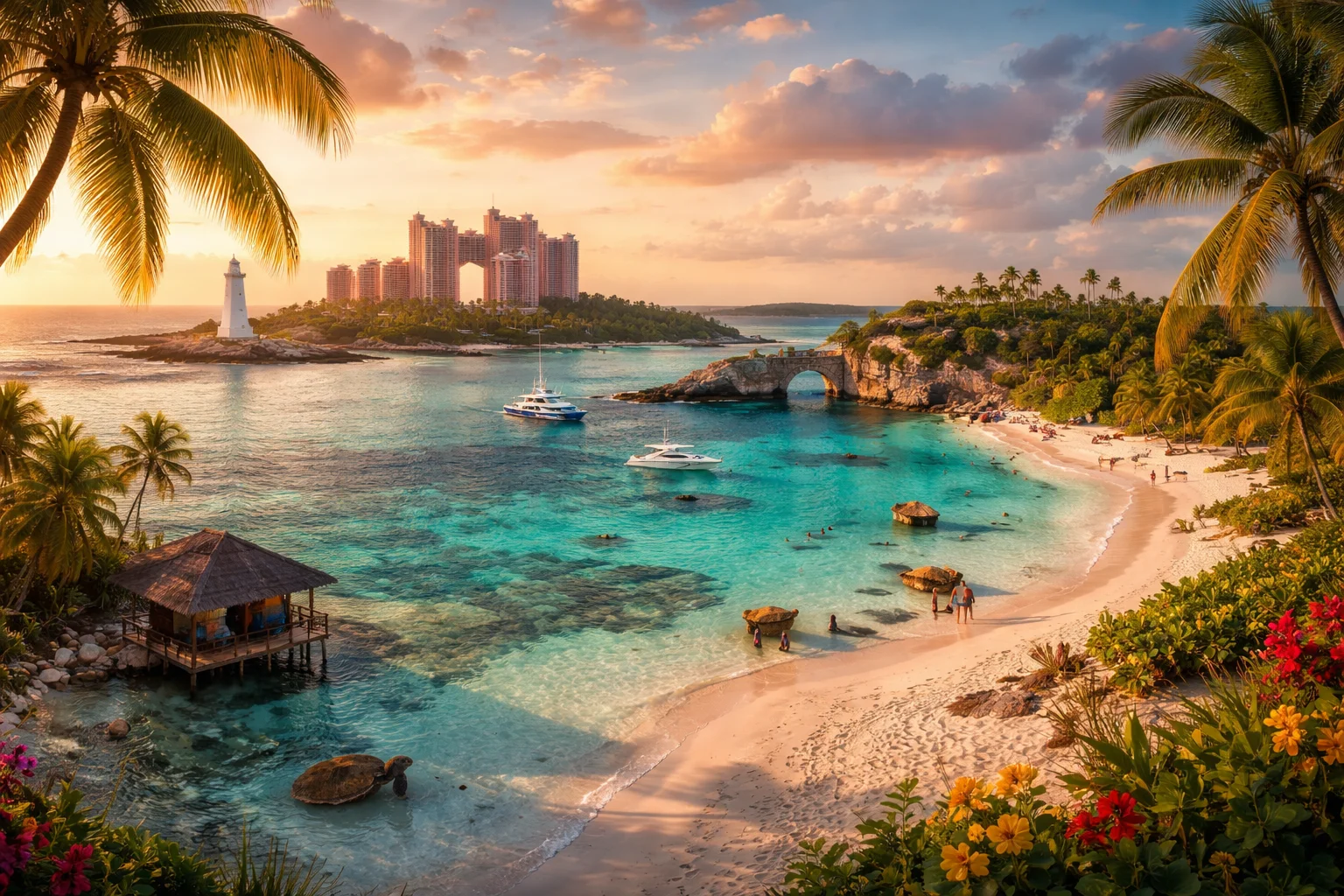
Bahamas overview
Bahamas is an independent archipelagic state in the Atlantic composed of hundreds of islands and thousands of smaller cays, noted for coral platforms, low elevations and a tourism- and finance-driven economy. Located just north of the Caribbean Sea and east of Florida, the Bahamas occupies a strategic maritime location that shaped its history as an early European landfall and later as a British colony. The country’s combination of shallow carbonate banks, widespread “blue holes,” and the cultural institution of Junkanoo gives the Bahamas a distinctive physical and cultural profile within the Caribbean basin.
Common Geography Questions About Bahamas
Where Bahamas is located
The Bahamas sits in the western Atlantic Ocean, stretching roughly between 20° and 27° North latitude and 72° to 80° West longitude; it is usually grouped with the Caribbean region despite being north of the Caribbean Sea. It has no land borders—its nearest neighbors are the United States (Florida to the northwest) and Cuba to the southwest, while the Turks and Caicos lie to the southeast on a different submarine bank. The archipelago is defined by the Great Bahama Bank and Little Bahama Bank, shallow carbonate shelves that create extensive shoals and make shipping channels and reef systems central to the Bahamas’ geographic identity.
Geography and landscape of Bahamas
The Bahamas is a low-lying carbonate archipelago rather than a mountainous country; its highest point is Mount Alvernia on Cat Island at about 63 meters (207 feet). The islands lack permanent rivers; freshwater survives mainly as a lens of brackish groundwater in porous limestone. Notable geographic features include the Andros Barrier Reef adjacent to Andros Island and an unusually dense field of inland and marine “blue holes” — vertical sinkholes unique to carbonate platforms. Regional contrasts occur between the urbanized, engineered landscapes of New Providence and the porous, mangrove-dominated ecology of the Family Islands (Out Islands).
Bahamas culture and society
English is the official language of the Bahamas, complemented by an English-based Bahamian Creole spoken in informal settings. Afro-Bahamian culture predominates, shaped by West African traditions and the experience of plantation slavery, but Lucayan Taíno influence appears in place names and archaeology. Junkanoo, a street parade with masks and percussion held chiefly on Boxing Day and New Year’s, functions as a national cultural emblem. Christianity, mostly Protestant denominations, is the dominant religion. Demographically, population is highly concentrated in New Providence and Grand Bahama, producing urban cultural hubs distinct from the family-island lifestyles of many smaller settlements.
History of Bahamas
The Bahamas’ history begins with the Lucayan Taíno people before European contact; the islands are widely identified as the site where Christopher Columbus made his first recorded landfall in the Americas in 1492. Over subsequent centuries the archipelago became strategically contested among Europeans and a haven for pirates, whose presence shaped early settlement patterns. The Bahamas evolved into a British colony and later a crown colony after 1718, with plantation and shipbuilding economies. Independence was achieved in 1973 within the Commonwealth. Throughout, maritime geography—sandy banks, reefs and proximity to shipping lanes—has recurrently directed the Bahamas’ historical role in regional trade and security.
Bahamas economy and government
The Bahamas is a parliamentary constitutional monarchy and Commonwealth realm with a Governor-General representing the monarch, and a bicameral legislature composed of an elected House of Assembly and an appointed Senate. Its economy is concentrated in two sectors: tourism (resort and cruise industries clustered around Nassau and the Exumas) and international financial services, including a major ship registry and offshore banking. The national currency is the Bahamian dollar, pegged one-to-one with the US dollar, a policy reflecting deep economic integration with the United States. The Hawksbill Creek Agreement created Freeport’s duty-free economic zone, an unusual legal-economic arrangement still central to Grand Bahama’s industry.
Regions and major cities of Bahamas
Administratively the Bahamas is organized into local government districts that cluster around population centers and family-island communities; New Providence and Grand Bahama operate as distinct urban regions compared with the decentralized Family Islands. The capital, Nassau (on New Providence), is the political and commercial hub. Freeport (Grand Bahama) is a major port and industrial center tied to the Hawksbill Creek free zone. Marsh Harbour (Abaco) is a principal town servicing northern family-island populations. Regional distinctions are pronounced: New Providence concentrates government and finance, Freeport emphasizes industry and logistics, and the Out Islands retain small-scale fishing, agriculture and tourism economies.
Distinctive characteristics of Bahamas
The Bahamas is widely associated with luxury tourism, cruise-port infrastructure and offshore financial services, but also with several highly specific natural and regulatory features: a very low mean elevation with the highest natural point under 70 meters, one of the world’s densest clusters of blue holes, and a major maritime registry that places many commercial vessels under the Bahamian flag. Culturally, Junkanoo and conch-based culinary traditions are internationally recognized symbols. In marine conservation, the archipelago’s network of protected areas—paired with recurring reef restoration work—has given the Bahamas a prominent profile in tropical marine science and policy.
Places in Bahamas
Exuma Cays
Exuma Cays is a chain of more than 365 coral islands and sand cays in the central Bahamas, noted for extensive shallow banks and marine biodiversity. The archipelago lies within Bahamian territorial waters and forms a coherent geographic unit stretching roughly 130 miles (210 kilometers) along the archipelago. Its significance rests on large seagrass plains, fringing coral reefs, and distinctive cultural sites, which together support fisheries, scientific research, and regional conservation priorities.
Nassau
Nassau is the capital city of the Commonwealth of the Bahamas, located on New Providence Island. It is the country's principal commercial and administrative centre and its most populous urban area. The city hosts national government institutions and major port facilities that underpin the Bahamian economy, serving as the central focus for national political, economic, and cultural activity.
Pink Sands Beach
Pink Sands Beach is a coastal beach on Harbour Island in the Bahamas, noted for its permanent pink-hued sand. The beach extends along the island’s eastern shore for about three miles, forming a continuous arcuate shoreline backed in places by low dunes and coastal scrub. Its significance derives from a distinctive sediment composition and its role as a measurable coastal feature on Harbour Island that is cited in sediment and coastal studies.