Armenia Guide
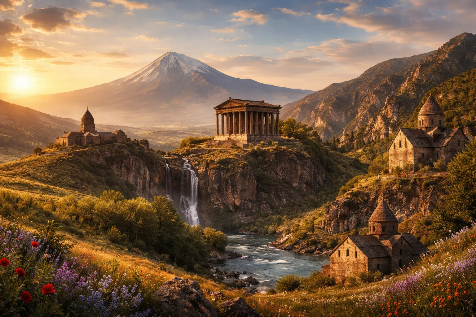
Armenia overview
Armenia is a landlocked country in the South Caucasus, defined by high plateaus, deep river gorges and an especially long cultural memory. Straddling the historical Armenian Highlands, it is among the places where winemaking first appears in the archaeological record (the Areni‑1 winery, c. 6,100 years old). Small in territory but dense in layered heritage, Armenia combines a distinct written alphabet, an ancient national church, and a geography that has shaped its trade routes, settlement patterns, and regional connections.
Common Geography Questions About Armenia
Where Armenia is located
Armenia lies at the junction of Eastern Europe and Western Asia, roughly between 38° and 41° N latitude and 43° and 47° E longitude. It shares overland borders with Georgia to the north, Azerbaijan (including proximity to the Nakhchivan exclave) to the east and west, Turkey to the west and Iran to the south. As a completely landlocked state, Armenia’s position is defined by the Armenian Highlands and river corridors such as the Aras; Mount Ararat, though across the border in Turkey, dominates the skyline and sightlines from parts of Armenia.
Geography and landscape of Armenia
Highland plateaus and folded mountain ranges dominate the country’s geography; the Lesser Caucasus range and volcanic peaks such as Mount Aragats (the highest summit within modern borders) shape steep terrain and short, powerful rivers. The Aras River forms much of Armenia’s southern watershed while the Hrazdan links deep freshwater basins to urban centers. A continental highland climate yields warm summers and snowy winters with strong altitudinal variation; active tectonics and a legacy of volcanic activity produce basalt plateaus, mineral-rich soils, and pronounced seismic risk that has influenced settlement and architecture patterns unique to Armenia.
Armenia culture and society
Armenia’s primary language is Armenian, written in a unique alphabet devised by Mesrop Mashtots in the 5th century; two standard forms—Eastern and Western Armenian—reflect a diasporic linguistic split. The Armenian Apostolic Church functions as a central cultural institution rather than merely a religious denomination, with khachkars (carved cross-stones) and liturgical rites that are regionally distinctive. Culinary and domestic customs, like baking lavash in a tonir (clay oven), coexist with a diaspora larger than the resident population, producing strong transnational family networks and remittance patterns that shape social structures inside Armenia.
History of Armenia
Armenia’s historical arc begins with Bronze Age states such as Urartu and continues through medieval Armenian kingdoms that carved autonomous administrations between Byzantine, Persian and later Ottoman influences. A pivotal moment came when an Armenian polity adopted Christianity as a state religion in the early 4th century, embedding an ecclesiastical architecture and manuscript tradition that survived imperial turnovers. The modern era includes incorporation into imperial spheres, the trauma of mass deportations and killings in the early 20th century, and a 20th‑century period within the Soviet Union that reorganized industry and administration prior to eventual independence in the late 20th century.
Armenia economy and government
Armenia is a unitary state with a parliamentary government structure in which an elected assembly and an executive led by a prime minister exercise day‑to‑day authority; the presidency retains defined constitutional functions. The economy mixes services and a growing information-technology sector with legacy heavy industry and extractive operations—molybdenum and copper mining have been durable exports—while agriculture produces fruit, tobacco and brandy grapes. The national currency is the dram; hydropower, remittances from a widespread diaspora, and a budding software services export sector are structural features that distinguish Armenia’s economic profile in the region.
Regions and major cities of Armenia
Administratively, Armenia is divided into ten provinces known locally as marzer, plus the capital Yerevan, which has special status. Yerevan traces continuous urban occupation to the 8th century BCE (the Erebuni fortress) and acts as the political, cultural and economic hub. Other major cities include Gyumri in the northwest, long known for textile and artisan crafts, and Vanadzor, a northern industrial center. Distinct geographic subregions—Lori’s deep gorges, Syunik’s rugged highlands, Tavush’s forested borderlands—produce varied local economies and cultural landscapes within a compact national territory.
Distinctive characteristics of Armenia
Armenia is widely associated with several concrete cultural and historical markers: the Mesropian Armenian alphabet, medieval khachkars, the ancient Areni winemaking site and a living duduk musical tradition recognized internationally. Its large global diaspora has forged business, philanthropic and cultural links that amplify Armenia’s influence far beyond its borders. In sport and education, chess and mathematics education have a disproportionate presence relative to population size, while Armenian brandy and artisan crafts such as carpet weaving remain recognizable exports that tie the country’s identity to specific products and practices.
Places in Armenia
Amberd Fortress
Amberd Fortress is a medieval stone fortress complex on the southern slopes of Mount Aragats in Armenia. It is a defensive citadel and ecclesiastical compound notable for its high-altitude position, masonry, and surviving church building. Amberd Fortress sits at about 2,300 meters above sea level and occupies a rocky promontory above the confluence of two mountain streams. The site represents a measurable archaeological ensemble with standing masonry, foundation outlines, and documented architectural elements.
Dilijan National Park
Dilijan National Park is a protected national park in northeastern Armenia centered on the town of Dilijan and surrounding woodland. The park covers roughly 240 square kilometers of mixed forest, river valleys, and cultural sites. It is significant for conserving extensive broadleaf forests, supporting regional biodiversity, and preserving medieval Armenian monastery complexes. The area serves scientific research, habitat protection, and long-term landscape management within Armenia's network of conservation areas.
Garni Temple
Garni Temple is a Hellenistic-style Ionic temple ruin located near the village of Garni in Kotayk Province, Armenia. It occupies a basalt promontory above a deep river gorge and represents the best-preserved example of pre-Christian classical architecture in the South Caucasus. The structure presents a hexastyle façade with six Ionic columns, providing a measurable architectural datum for comparative studies of regional temple plans and proportion systems.
Geghard Monastery
Geghard Monastery is a medieval Christian monastery complex in Armenia known for its churches partially hewn from living rock and adjacent freestanding structures. Located in a steep valley gorge, the complex combines carved cave-chapels with later-built masonry buildings and sculptural decoration. It is significant for its surviving medieval inscriptions, an extensive collection of khachkars, and its role in Armenian ecclesiastical architecture. Archaeological and architectural studies identify core foundations from the early medieval period and major construction phases in the twelfth and thirteenth centuries.
History Museum of Armenia
History Museum of Armenia is the national museum of history in Armenia, housed in the capital city of Yerevan. It is located on Republic Square and functions as the primary state repository for archaeological, ethnographic, numismatic, and documentary collections that represent the material history of the Armenian people. The museum occupies a purpose-built civic building that forms part of the Republic Square architectural ensemble.
Khor Virap
Khor Virap is an Armenian monastery and historic religious complex situated on the Ararat Plain in Ararat Province. It is historically significant as the traditional site of Gregory the Illuminator's imprisonment and as a symbol linked to Armenia's early adoption of Christianity. The complex lies approximately thirty kilometers south of Yerevan and contains a preserved subterranean pit associated with Gregory, a concrete archaeological feature within the monastic courtyard. The visible buildings primarily reflect post-medieval reconstruction phases layered atop earlier remains.
Lake Sevan
Lake Sevan is a large high-altitude freshwater lake in Armenia that anchors national hydrology and cultural identity. It lies at approximately 1,900 meters elevation and covers about 1,242 square kilometres, making it one of the largest lakes in the Caucasus region. The lake supports endemic species, supplies freshwater resources for regional uses, and is the focal point for several historic monasteries and settlements along its shoreline. Its catchment area and inflows influence water chemistry and biodiversity.
Noravank Canyon
Noravank Canyon is a narrow limestone and red sandstone gorge in Armenia that contains a prominent medieval monastery complex. It lies in the southern part of the Armenian Highlands and is significant for its combination of striking geology and medieval Armenian architecture. The canyon is notable for the 13th-century Noravank Monastery and for its steep cliffs that frame the monastic ensemble. The site has attracted academic study in both archaeology and regional geomorphology.
Tatev Monastery
Tatev Monastery is a medieval Armenian Apostolic monastery complex in Syunik Province, southern Armenia, near the village of Tatev. Its elevation is roughly 1,600 metres above sea level, on a basalt plateau overlooking the deep Vorotan Gorge. The complex includes multiple churches, a gavit, refectory, library remains, and ancillary monastic buildings, and it served as a center of theological learning and manuscript production in medieval Armenia.
Yerevan
Yerevan is the capital and largest city of Armenia and its main political, cultural, and economic center. It is located on the Ararat Plain in the western part of the country and holds province-equivalent administrative status as a municipality. The city stands at approximately 990 meters above sea level, and official figures record a municipal population of over one million residents. Yerevan's continuous urban settlement and concentration of national institutions define its central role in Armenian national life.
Yerevan Cascade
Yerevan Cascade is a monumental stepped complex in Yerevan, Armenia, combining public terraces, outdoor sculpture, and indoor exhibition space. It occupies a prominent urban slope in the national capital and serves as both a large-scale urban artwork and an institutional gallery complex. The structure includes 572 steps arranged in multiple flights and integrates the Cafesjian Center for the Arts within its lower tiers, giving the site measurable scale and defined cultural function. Its significance derives from this combined architectural and institutional role.
Yerevan State University
Yerevan State University is a public higher-education institution in the Republic of Armenia. It was established in 1919 as the first state university on the territory of modern Armenia, and it functions as the country’s principal multi-disciplinary research and teaching university. The university occupies a defined central campus with an identifiable main administrative building and a formal governance structure headed by a rector and academic council. Yerevan State University maintains faculties in the sciences, humanities, and professional disciplines and operates research centres linked to national priorities.