Afghanistan Guide
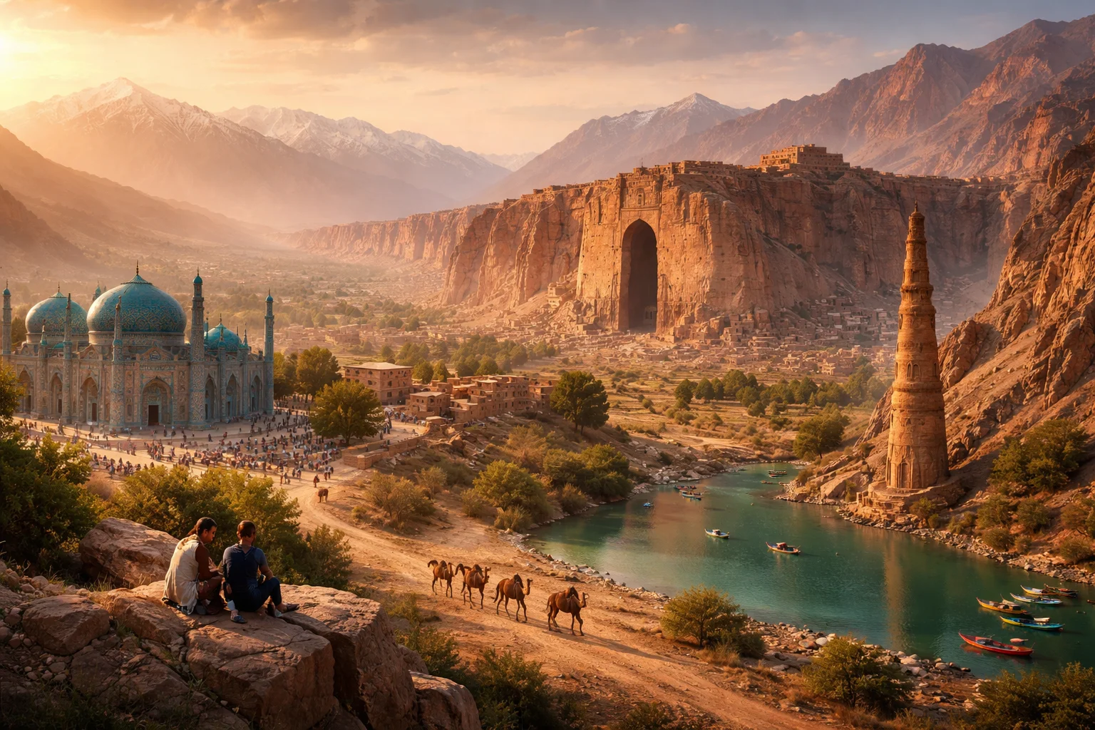
Afghanistan overview
Afghanistan is a landlocked, mountainous country at the historical crossroads of Central and South Asia. Straddling ancient trade routes such as branches of the Silk Road, Afghanistan’s significance derives from its strategic location, layered ethnic tapestry, and terrain that has shaped local autonomy and regional contest. The country combines high plateaus, deep river valleys, and isolated corridors like the Wakhan; its economy mixes subsistence agriculture, artisanal mining, and urban commerce centered on Kabul. Persistent social institutions—tribal councils, regional madrassas, and caravan-era markets—continue to structure public life.
Common Geography Questions About Afghanistan
Where Afghanistan is located
Afghanistan sits in South-Central Asia, roughly between about 29° and 38° north latitude and 60° and 75° east longitude, sharing borders with Pakistan to the south and east, Iran to the west, Turkmenistan, Uzbekistan and Tajikistan to the north, and a short border with China along the narrow Wakhan Corridor. Its landlocked position places it between the Iranian Plateau and the high Pamir and Hindu Kush ranges. Major nearby bodies of water are distant: the country has no coastline, and its river systems feed into the Amu Darya basin or internal basins that historically linked to the Aral Sea and the Indus watershed.
Geography and landscape of Afghanistan
Afghanistan’s landscape is dominated by the Hindu Kush spine, with peaks above 7,000 meters in the northeast and rugged passes that historically dictated movement; the Hindu Kush is the defining terrain feature that channels climate and migration. Northern Afghanistan falls into the Amu Darya plains and semi-arid steppes, while the southwest contains the Helmand River basin and arid desert. The Wakhan Corridor in the far northeast is a uniquely narrow strip reaching China and cutting through high-altitude alpine pastures. Seasonal river torrents and internal drainage basins create localized oases rather than a coastal marine system.
Afghanistan culture and society
Afghanistan’s culture is multilingual and multiethnic: Dari (a variety of Persian) and Pashto are principal languages, with Uzbek, Turkmen, Balochi and smaller Pamiri languages in specific highland pockets. Distinctive local institutions include Pashtunwali — a customary code among Pashtuns — and the jirga system of tribal dispute resolution that still adjudicates land and family matters in many districts. Religious practice is overwhelmingly Sunni Islam with Shia minorities concentrated among Hazaras; the country also preserves unique cultural markers such as the nomadic Kyrgyz community in the Wakhan and regional carpet-weaving motifs tied to specific valleys.
History of Afghanistan
Afghanistan’s history is a sequence of layered sovereignties where geography funneled empires and migrations: Achaemenid satrapies gave way to Hellenistic kingdoms after Alexander, then Buddhist and later Islamic polities; medieval cities like Herat and Balkh became intellectual and artistic centers on trade routes. In the 19th century, Afghanistan was repeatedly shaped by the Anglo-Russian rivalry known as the Great Game, producing a modern boundary pattern including the Durand Line. The 20th century saw monarchy, republican reforms, foreign interventions, and rebuilding efforts; these long-term shifts made Afghanistan a persistent buffer and conduit between empires and modern states.
Afghanistan economy and government
Afghanistan’s governance has fluctuated across monarchy, republic, and other regimes; governance patterns emphasize a mix of centralized authority in the capital and strong local customary power in provinces. The national currency is the afghani. Economically, agriculture dominates land use, with irrigated staples and orchards concentrated in river valleys; Afghanistan is also notable for artisanal mining (lapis lazuli from Badakhshan, large copper deposits at Mes Aynak) and for historically significant opiate cultivation that shaped rural incomes. Infrastructure gaps, a large informal sector, and remittance flows define the economy’s structure and external linkages.
Regions and major cities of Afghanistan
Administratively divided into provinces, Afghanistan’s major geographic regions include the Central Highlands, the northern riverine plains, the southwestern deserts, and the northeastern Wakhan-Pamir highlands. Kabul is the capital and largest city, serving as the political and economic hub; Kandahar represents a southern cultural-political nexus tied to Pashtun traditions, and Herat is a historical Persianate center with a Silk Road heritage. Provincial boundaries often follow old tribal and ethnic lines, so regional governance must contend with valley-based loyalties and caravan-era urban networks.
Distinctive characteristics of Afghanistan
Afghanistan is strongly associated with several concrete features: its position as the historical Silk Road crossroads; the Hindu Kush as a regional climatic barrier; Badakhshan lapis lazuli mines that supplied ancient jewelry and European medieval traders; and the Wakhan Corridor’s unique single-file land link to China. Globally, Afghanistan’s name is linked with traditional carpet weaving tied to identifiable regional patterns, the archaeological legacy of Bamiyan’s monumental Buddhist niches, and large-scale artisanal mineral deposits (copper and rare earth potentials) whose extraction prospects attract long-term strategic interest.